Coastal walk geology and shipwreck app launched

The app covers the coast between the Tyne and Tees
- Published
An app that will help users better understand the geology of the north east England coastline has been launched.
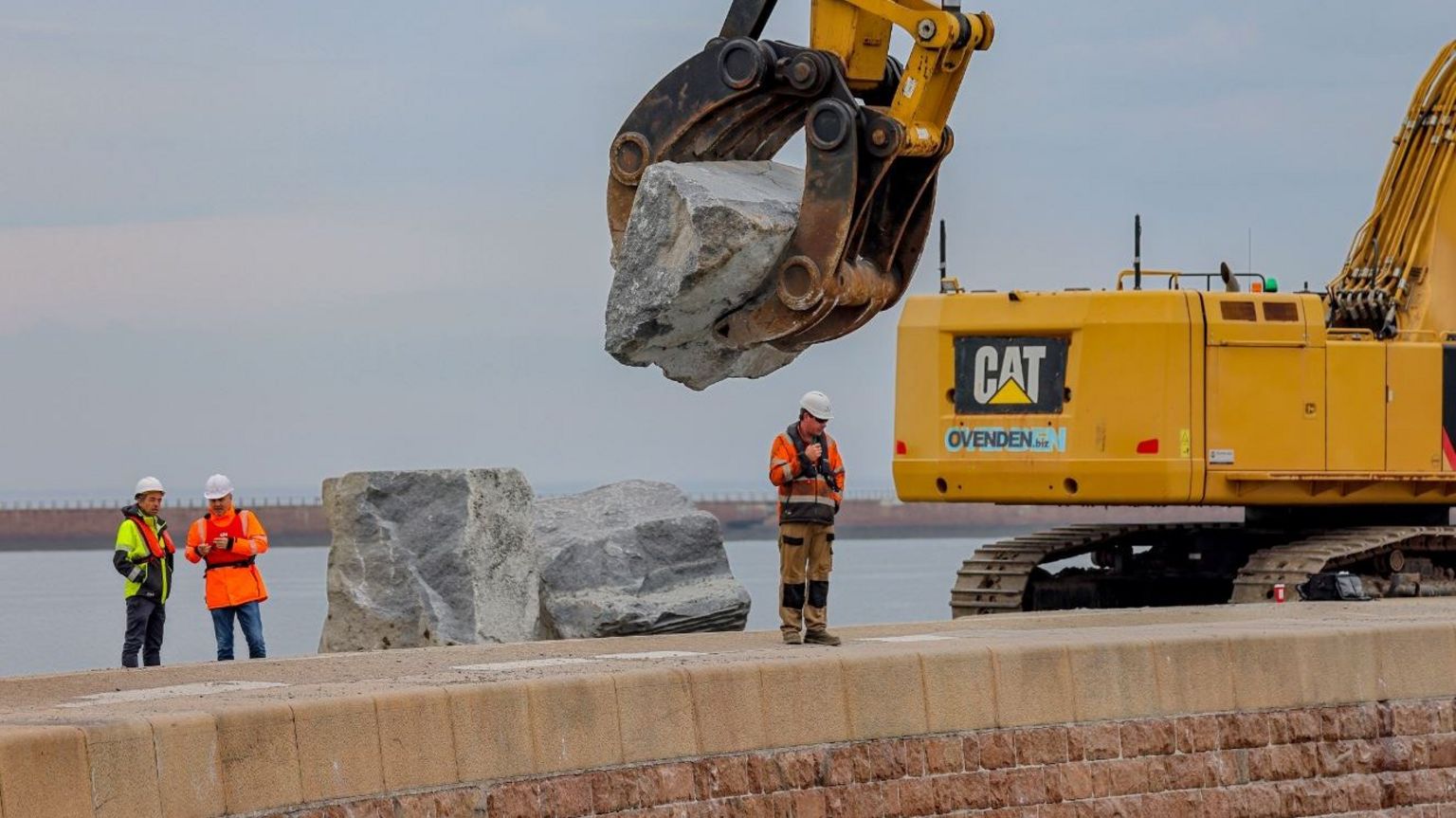
The SeaScapes Coastal App, a project led by Durham County Council, will help people learn about areas between the rivers Tyne and Tees.
App users walking along this section of the coast will be pinged with information about specific rocks and details about shipwrecks located nearby.
One of the app’s makers said the project could help “protect the coast for the future”.

SeaScapes pings users with local information
It is being launched alongside a website called Reading the Rocks, external, which details the geology of three spots along the north east coast: Seaham, Blast Beach and Blackhall.
Jenny Swainston, who worked on the project, said the app and the website are a "celebration of the people, places, and habitats along the coast between the rivers Tyne and Tees".
She added: "Each year more people are connecting with our shorelines and oceans and by working with communities we can make sure that this vital habitat is not only protected but improved for both people and wildlife.”
Both the app and the website were funded in part by the National Lottery Heritage Fund.
Follow BBC North East on X (formerly Twitter), external, Facebook, external and Instagram, external. Send your story ideas to northeastandcumbria@bbc.co.uk.
Related Topics
More stories from BBC North East and Cumbria
- Published27 June 2023