Parts of UK could hit 30C but more rain to come

- Published
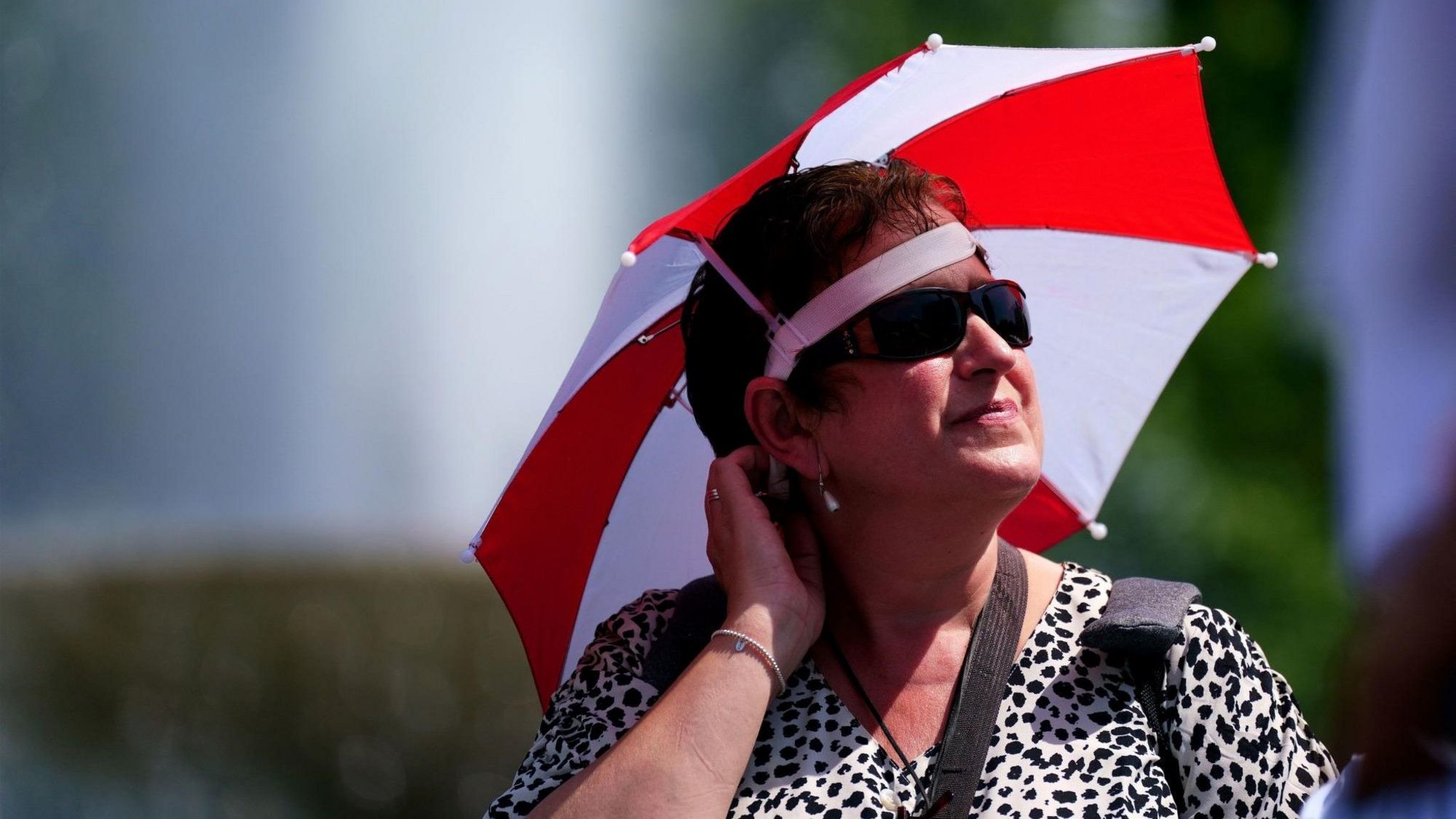
Parts of the UK could be hit by a burst of 30C heat by the end of this week, following an unusually wet start to July.
The warm blast is expected to arrive in the South East of England on Friday. Temperatures could set a new record for the hottest day of the year, after 30.5C was recorded in Wisley, Surrey on June 26.
Areas that have experienced a July washout so far are now set to turn a lot drier and warmer, albeit briefly.
But we should not be putting our umbrellas away just yet - the dry weather will be even more short-lived in the north-western areas and it could be unsettled again for the whole of the UK as soon as Saturday evening.
What happened to summer?
It’s been a wet, chilly start to the month for most of us, with temperatures falling below, or just at the seasonal average. Some parts of the country, including Loftus in North Yorkshire and Northolt in London have already had more than twice the average July rainfall.
The Met Office issued a yellow warning for rain on Monday, with some areas receiving 15-20mm in as little as an hour and 30-40mm over several hours.
The warning was issued on St Swithin's Day, which, as the saying goes, could mean it will rain for another 40 days.
The cool and wet July has been a result of the jet stream – fast-moving wind high in the atmosphere – being positioned predominantly over, or to the south of, the UK.
It has not been a washout everywhere though. Some northern and western areas, including Castlederg in Northern Ireland and Machrihanish in western Scotland, have been comparatively dry and seen only about 20 to 25% of their average July rainfall.
Northern Ireland is a lot drier compared to last July, which was its wettest on record.
What's responsible for the change?
The jet stream - the fast moving band of air high up in the atmosphere responsible for propelling low-pressure systems in from the Atlantic - has been angling towards the south of the UK, allowing cold arctic air to flood down from the north.
It will now edge further northwards, deflecting the rain to the north and west, and allowing warmer air to seep in once more from the south.
So when will it heat up?
High pressure will start to build in from the Azores. This means the whole of the UK will be mostly dry on Wednesday.
Temperatures will be around the seasonal average, at 17-21C in Scotland and Northern Ireland, 18-23C in Wales and low-to-mid twenties for England. It will, of course, feel warmer in the strong July sunshine, something we have been lacking of late.
On Thursday and Friday, rain will edge into Northern Ireland and western Scotland, ushering in a return to dull, wet conditions.
However, the dry conditions could hang on across much of England and Wales, where temperatures will climb a little further, especially in south-east England.
By Friday, temperatures in London could peak at 30C, before dropping again at the weekend.
Will there be a heatwave?
Probably not - the Met Office defines a heatwave as three or more consecutive days of temperatures above a certain threshold, which varies depending on where in the UK you are.
In the London area, that threshold is 28C. For Scotland, Northern Ireland, Wales and most of northern and western England, it’s 25C.
If temperatures reach 25C, it will be for the first time in July anywhere in the UK.
Will it last?
The heat is not set to last - a thundery breakdown in the east on Saturday night will lead to temperatures dipping back to average.
Next week, we are back to westerly winds with dry spells and some sunshine, but also showers and longer spells of rain at times, especially in the north and west.
- Attribution
- Published16 July