Storm Floris to bring 'unseasonably strong winds'

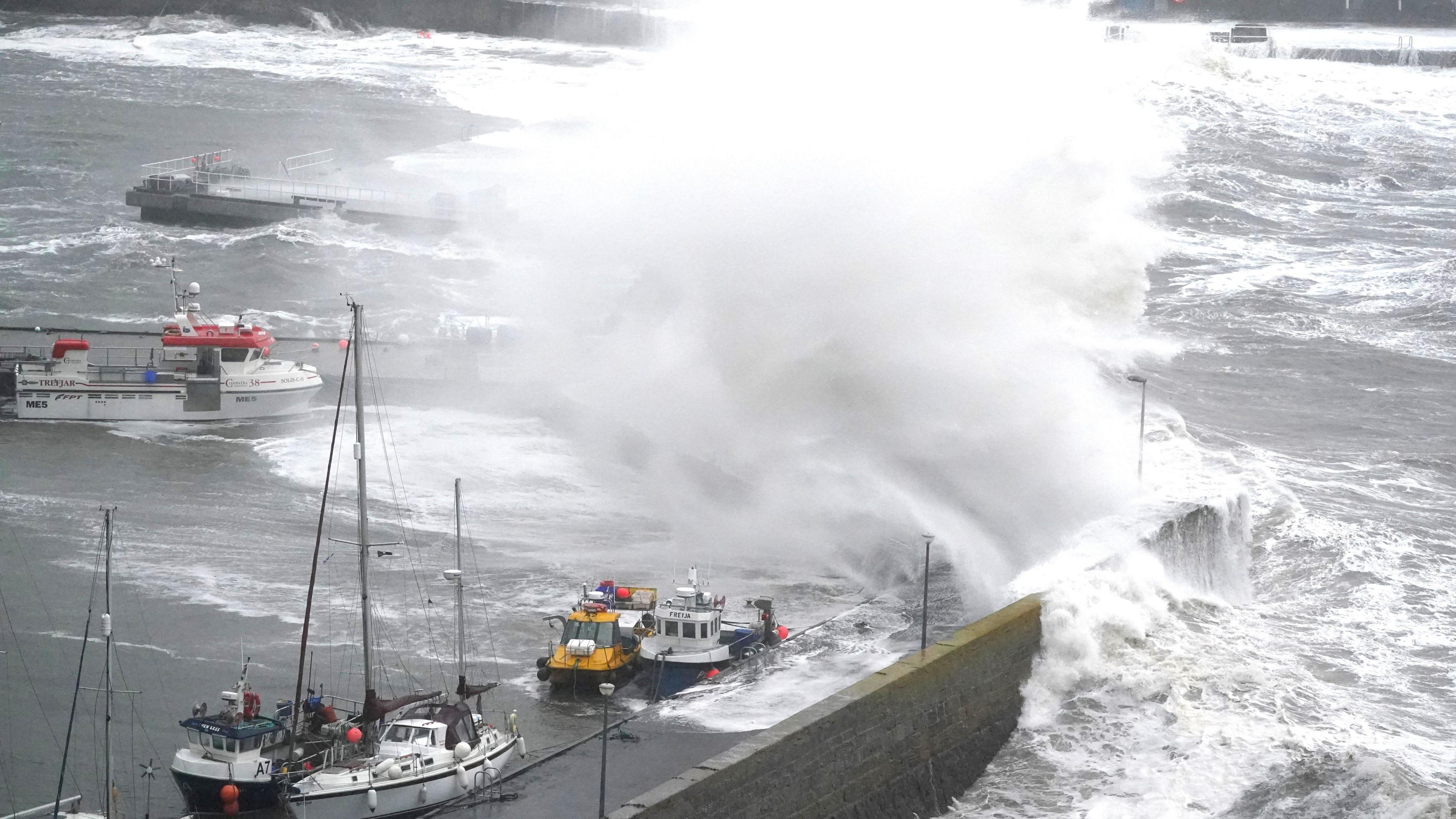
Strong winds hit Stonehaven Harbour during Storm Babet
- Published
Storm Floris will bring "unseasonably strong and potentially disruptive winds" to Scotland, Northern Ireland, Wales and the North of England on Monday, the Met Office has said.
A yellow weather warning will come into force at 06:00 on Monday and remain in place until 06:00 on Tuesday.
Gusts of up to 85mph could hit exposed Scottish coastlines and hills, while winds of 60 to 70mph are expected elsewhere.
Winds will first ease in the west later on Monday but will remain very strong overnight until early Tuesday in the east.
"Heavy rain may also contribute to the disruption in places," the Met Office said.
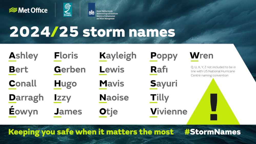
Storm Floris is the sixth named storm of the 2024/2025 season.
Storm Éowyn – which occurred in late January – was the last named storm to affect the UK.
Storms in August are not uncommon, with Storm Lilian hitting in August last year. In 2023, Storms Antoni and Betty occurred on the 4 and 18 respectively.
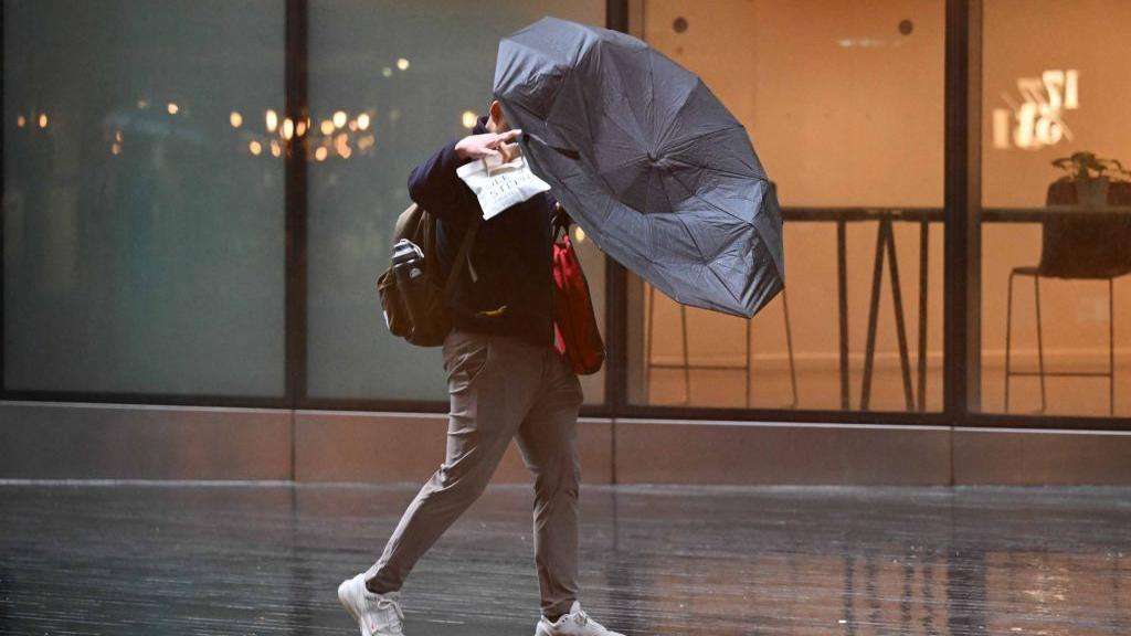
Storm Floris looks set to bring heavy rain and potentially disruptive winds across the country
The Met Office has advised flying debris and large waves could cause injuries and danger to life.
They also advised people to secure loose items such as garden furniture, trampolines, tents and sheds.
The weather is expected to cause travel disruption as many people travel across the country during the school holidays. Road, rail, air and ferry services could be impacted.
Network Rail Scotland has advised passengers to plan ahead.
The railway operator said additional staff would be on standby on Monday, including chainsaw-trained employees ready to respond to any trees on tracks.
Ross Moran, route director, said: "We're working hard behind the scenes to make sure we're ready. Our priority is keeping passengers and our staff safe.
"Our teams are already carrying out extra inspections and putting plans in place, including extra support.
"That work will continue throughout the storm, with staff on standby to respond quickly to any damage."
The warning zone covers Scotland, parts of Northern Ireland, north Wales and the north of England.
Why do storms have names?

These names were from 2024/25
The Met Office started giving storms names back in 2015, in the same way they do in America.
The idea is that naming storms helps with communication and helps people become more aware of them.
Will Lang, chief meteorologist at the Met Office, said: "We all remember the impactful storm names of recent years.
"Whether it's Eunice, Franklin, Bert or another impactful event, the storm-naming system has helped us communicate weather to help people stay safe.
How are storm names picked?

Storms names are usually put in a alphabetical list by the Met Office
The Met Office has always taken suggestions from the public.
It advises people to think about how difficult a name might be to pronounce and whether it means something else in another country or is in any way controversial.
The names that are chosen are then put into alphabetical order.
Not every storm in the UK has a name and not every named storm comes from the list.
Sometimes the UK will be hit by storms from Europe, the US or other countries, and the storm will keep the name the first country it affected gave it.
Will Lang, chief meteorologist at the Met Office says they now want the public to help put together this year's list.
"Whether you want to honour a weather lover in your family, remember a family pet or get a friend's name in the headlines, we welcome submissions from the public to help us pull together next year's list of storm names."
You can send in your suggestion, along with your reason why, over on the Met Office's website.