Northern Ireland rides a rollercoaster of weather patterns

A kitesurfer rises above the waves at Castlerock on the north coast earlier this month
- Published
Just past the mid-point in the spring season and it has been a rollercoaster ride of weather patterns.
It was the driest March in Northern Ireland since 2012, provisionally the ninth driest on record.
This was also the seventh consecutive month of below average rainfall for the country.
The dry spell continued into this month, with Northern Ireland seeing almost the average sunshine for the month (98%) by 15 April.

People took a visit out to Ballintoy during the sunny weather
Night frosts and wildfires
Initially April was still quite cool, with night frosts, but the second week brought the highest temperature of the year so far,
Temperatures reached 21.8C in Castlederg, County Tyrone, on 10 April.
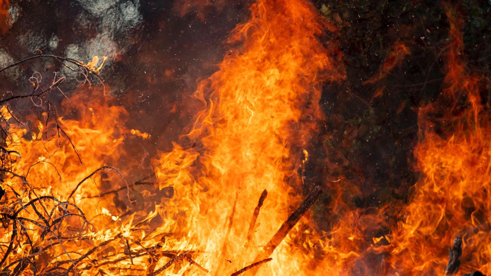
The extremely dry ground conditions and above average temperatures saw a higher than usual frequency of wildfires for the time of year.

There was a higher than usual frequency of wildfires in April including this one at Bloody Bridge in County Down
The 'fake' summer did not last, as less than a week later, daytime highs dropped by more than 15 degrees in places, as an area of low pressure brought over an inch of rain on Wednesday.
Also the maximum temperatures were more typical of winter, just 5.5C at Altnahinch in the Antrim hills.
A severe weather warning was in force.
Many places in Northern Ireland probably saw more rainfall on Wednesday than they had in all of March and early April.
Weather for Easter Monday and Tuesday

Temperatures won't be as high as they were a few weeks ago in Dromara
Another area of low pressure brought yet more prolonged and locally heavy rain on Good Friday which has lingered into the start of the Easter weekend.
A yellow rain warning was issued for parts of counties Antrim and Down from 14:00 BST on Friday until 15:00 on Saturday, which could cause difficult travel conditions.
Caravan and camping sites in parts of County Down, especially around the Mournes may be at risk from spot flooding.

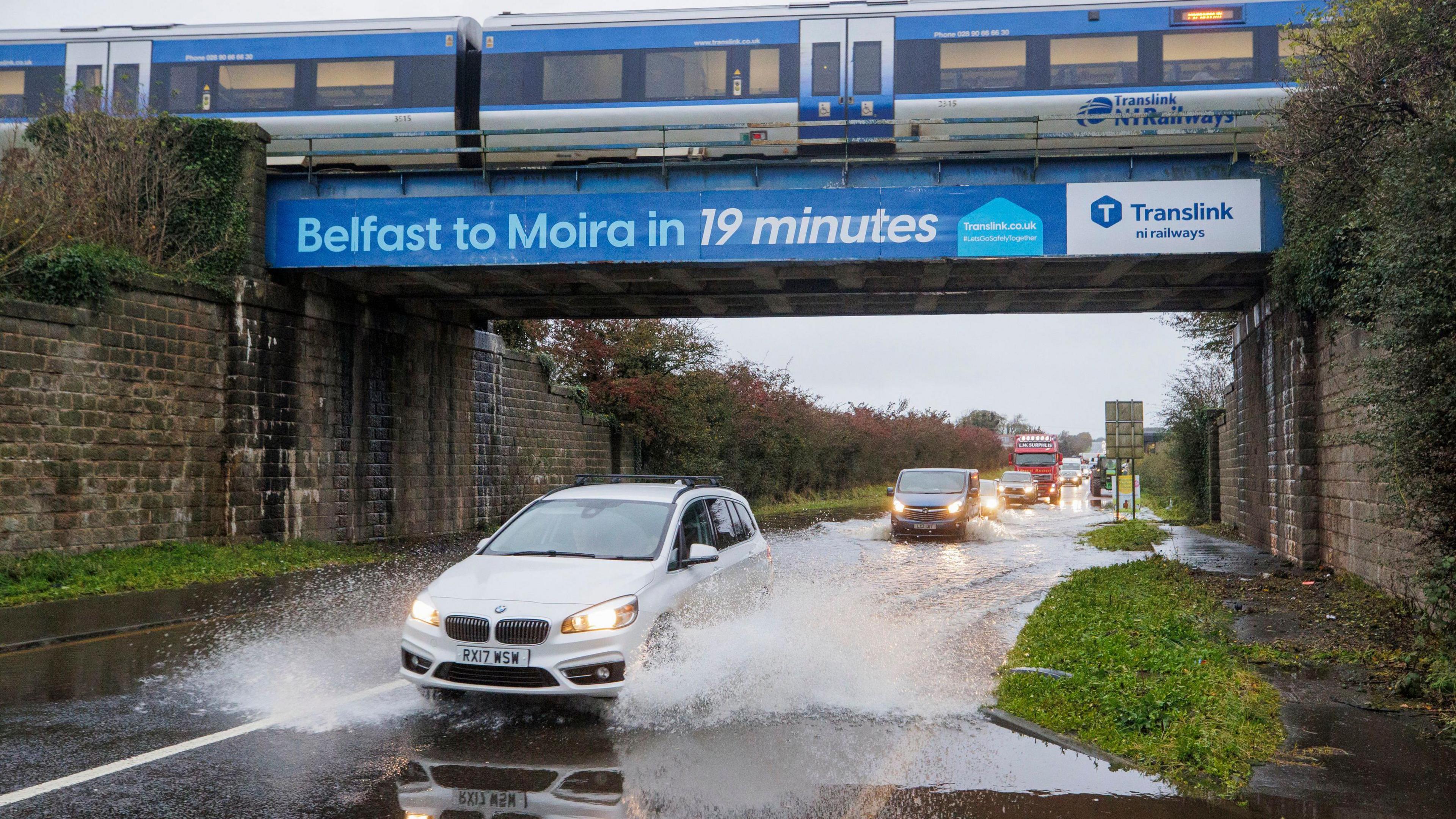
This car park in Coleraine was partially flooded after heavy rain this week
Between October and March, Northern Ireland recorded less than two-thirds of its average rainfall.
This makes it, provisionally, the third driest October to March period on record since 1890.
However, this could all change by the end of Saturday and the balance may be redressed.
The rest of the Easter holiday period will be comparatively drier and warmer, with temperatures in the mid-teens on Easter Monday and Easter Tuesday.
A few sharp showers are still in the forecast, but there will certainly be a lot of dry weather too.
Related topics
- Published9 April
- Published19 March
- Published16 April