Valley habitat restoration project sparks concern

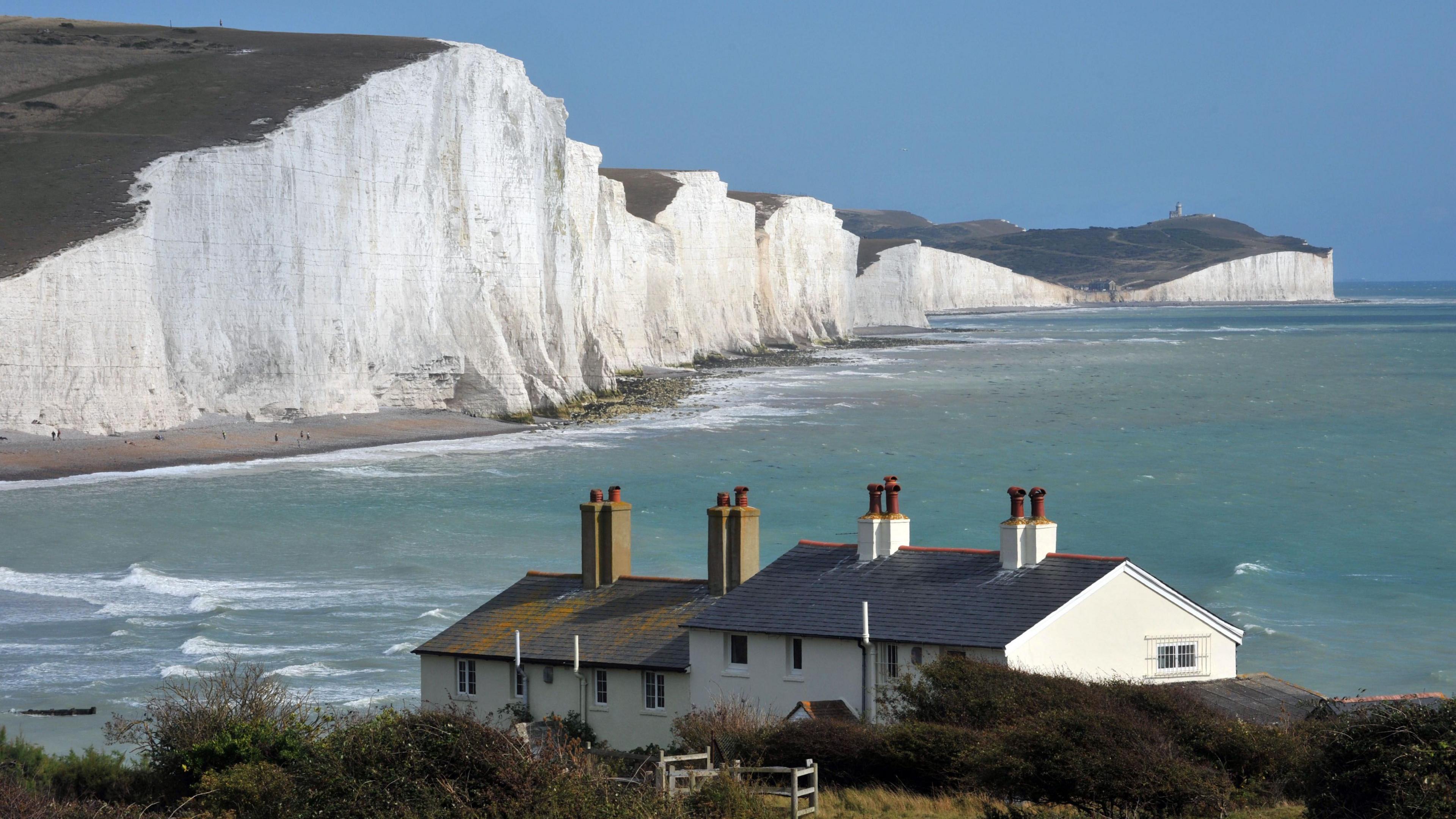
There are concerns about plans to flood part of the Cuckmere Valley which leads to the Seven Sisters
- Published
A plan to flood part of the Cuckmere Valley in East Sussex and turn it into salt marshes and mud flats has sparked concern among some local residents.
The National Trust has proposed creating five breaches in Chyngton Brook to allow fields to flood in the west of the valley to improve biodiversity and river flow.
Some local residents are concerned about the impact on the Cuckmere River's flow upstream, where flooding happens frequently.
The National Trust said its modelling predicts that the project will lower water levels upstream and could improve how water flows out to sea.

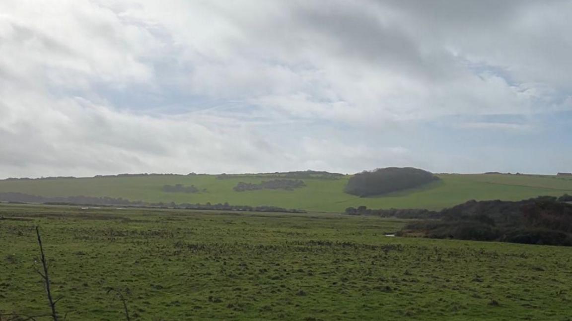
This western section of the Cuckmere Valley could be allowed to flood to become a salt marsh
The trust says the project is aiming to restore 42 hectares (100 acres) of land at Chyngton Brooks to its original state of salt marsh and mud flat.
However, villages further upstream have faced years of flooding issues due to shingle and mud collecting at the mouth of the Cuckmere River.
The Environment Agency has previously said it clears the mouth of the river "when it becomes necessary".
It has a "no active intervention", external approach, external as the defences become uneconomic to maintain".
The government body's website said this would "allow the creation of a naturally functioning estuary system".
'A bit of an experiment'
Nick Giles, vice chair of Cuckmere Valley Parish Council, said: "The big deal locally is the risk of flooding in the valley itself where the roads are frequently flooded.
"We don't know [if the proposal will cause additional flooding]. By doing this, it's a bit of an experiment.
"There is a lot of local concern about this. We need to tread very cautiously in our attitude to it."
He said the parish council would be putting an official response in.

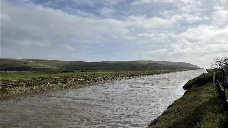
The trust said its modelling had shown the project was expected to lower water levels upstream
The National Trust said: "We have carefully considered whether the proposals could affect flooding upstream and modelling has shown that the project is expected to lower water levels upstream and improve how water flows out to sea during the ebb tide [a falling tide] by providing more water storage space on Chyngton Brooks.
"This may also help keep the river mouth clear of shingle."
It said salt marsh and mud flats were rare and disappearing habitats - home to many invertebrates and wetland birds.
It added: "The landscape will look different, but these habitats have their own beauty.
"Change is inevitable in estuarine and coastal environments like the Cuckmere and we are managing the change to benefit both people and wildlife."

Chris Smith from the Open Spaces Society said he was concerned about two well-used paths being impacted by the plans
However, there are also concerns about two well-used paths becoming inaccessible.
One path on the western bank of the Cuckmere will be permanently closed to allow breaches between 20m and 50m long.
Another path, which forms part of the 66 mile (107km) Vanguard Way, will also be flooded for much of the year.
Chris Smith, who is part of the Open Spaces Society, said the plans were "badly thought out".
He said: "The Vanguard Way will be flooded for half the year, which we have complained about.
"I urge people to object to the proposals and to ask the trust to think again.
"The new path will go over some tedious hills where people won't be able to see much of the biodiversity."
The National Trust spokesperson said: "The embankment path is increasingly prone to flooding and erosion, and if we do nothing, it will soon be lost."
A consultation on the plans is open until 26 November.
Follow BBC Sussex on Facebook, external, on X, external, and on Instagram, external. Send your story ideas to southeasttoday@bbc.co.uk , external or WhatsApp us on 08081 002250.
Related stories
- Published4 December 2024
