Flood plan to stop 'devastating impact' on residents

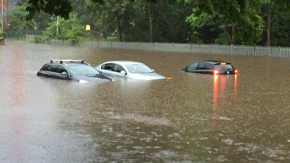
Bournville park's play area has completely flooded in previous years
- Published
The Environment Agency (EA) says it is exploring how to protect areas of Birmingham from serious flooding.
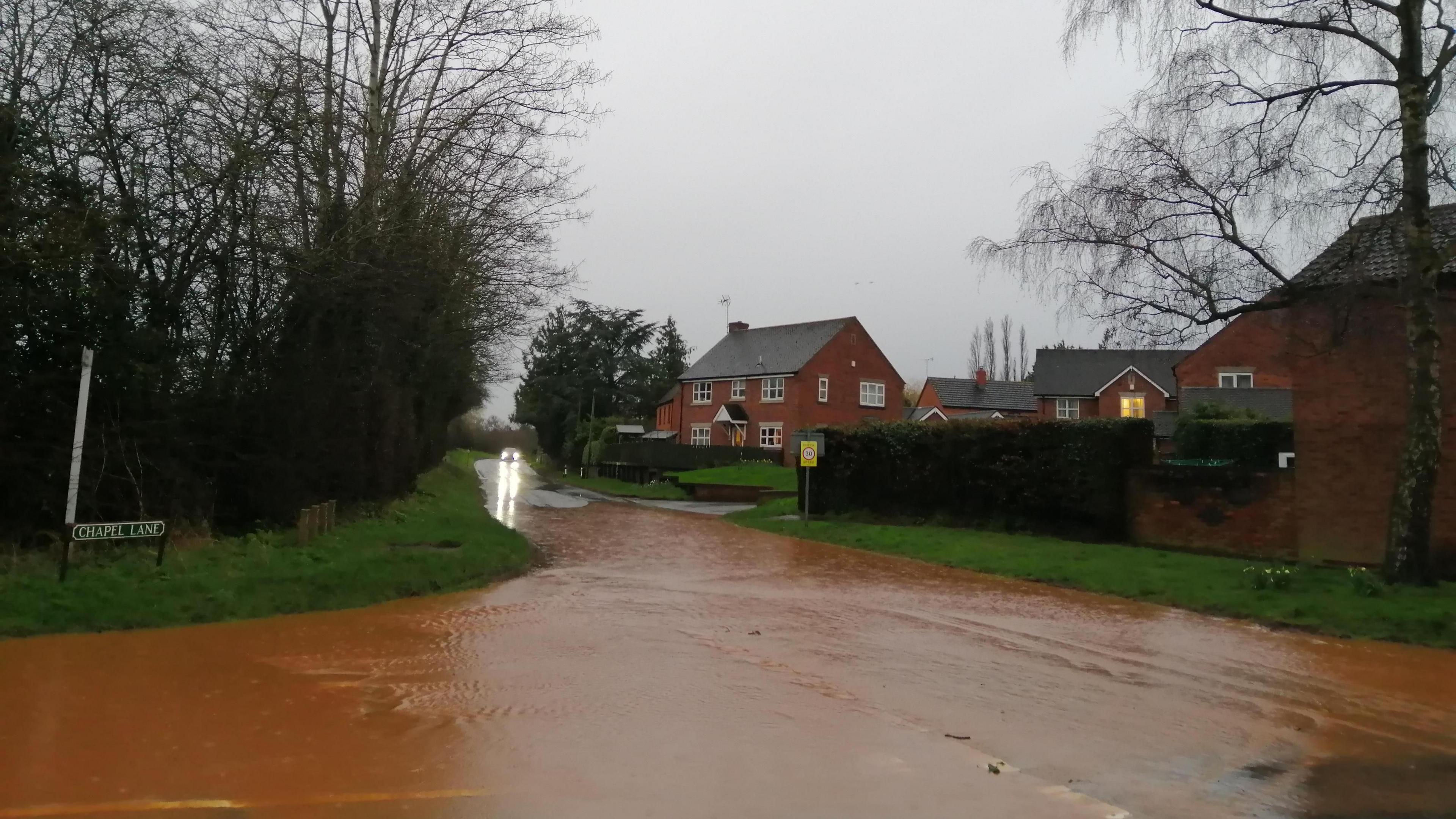
The River Bourn is prone to rapid flooding during intense storms, impacting the Bournville and Stirchley areas of the city.
Residents suffered significant river and surface water flooding in 2018 when 58mm (2in) of rain fell in less than an hour.
It has prompted the organisation to launch a new scheme with the aim of finding ways to protect residents.
Birmingham environment manager Suzanne Ward said no decisions had been made and bosses would work with the community on a concept design.
But she said climate change and increased population levels made floods more likely.
“We know the devastating impact that flooding can have, which is why protecting people and communities is our top priority," Ms Ward said.

Tracks at Bournville station have been submerged in the past
The Bourn Flood Risk Management Scheme will aim to minimise flooding from the river.
EA modelling shows that about 200 residential properties and 100 businesses face the adverse impacts of flooding in two city areas.
Sites for flood storage areas are being considered at Manor Farm Park, Weoley Hill Park and Valley Parkway in the Bournville area.
They will manage floodwaters during periods of heightened risk, such as the events seen in 2018.
Outside of these times the parks will still be usable as normal.
Follow BBC West Midlands on Facebook, external, X,, external and Instagram, external, Send your story ideas to: newsonline.westmidlands@bbc.co.uk, external
- Published22 February 2024
- Published17 June 2016