Map identifies radon gas levels in homes

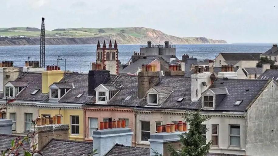
About 700 houses were surveyed to create the map
- Published
A map detailing levels of a naturally occurring radioactive gas on the Isle of Man has identified homes with higher readings.
Radon is found in all buildings and the amount present depends on the land they were built on and how they were constructed, with long-term exposure increasing health risks such as lung cancer.
As part of a wider British Isles initiative, about 700 homes were surveyed on the island over two years, with 25 properties identified on the map as needing to take action, external.
Clare Barber, Defa Minister, said the map gave "households, employers, and public sector bodies the information they need to understand their risk and take action if necessary."
The move aligns the island with the UK programme, which has been running for 40 years, and was undertaken to meet updated health and safety legislation.
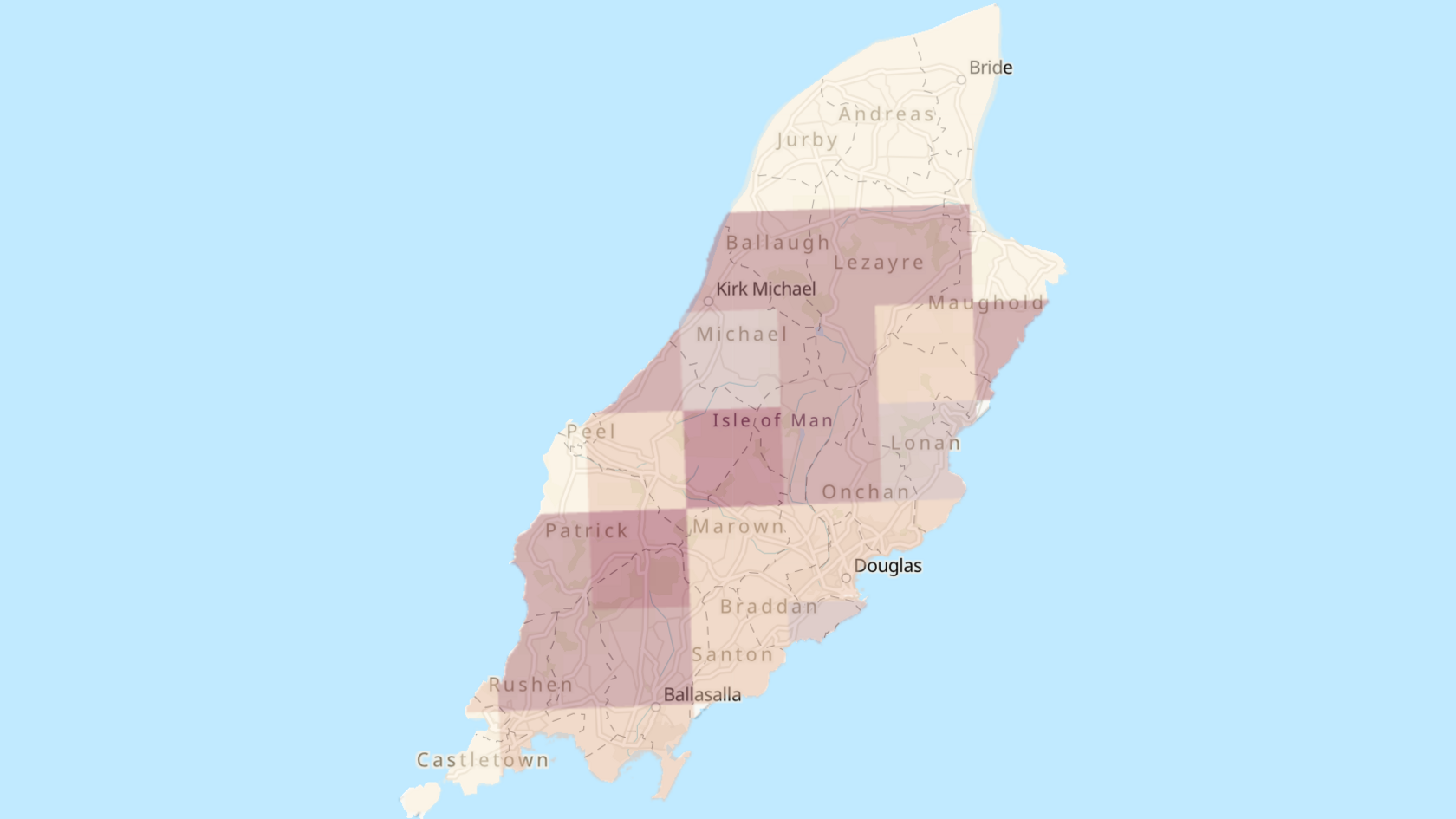
The map divides the island into 33 areas, each covering about 25km² (9.7 square miles), with darker colours indicating areas where a higher percentage are expected to reach or exceed the level where action would be required.

The map is available online and showcases areas with higher radon levels
Guidance, external is available for households with higher levels of radon with advice including installing natural or mechanical underfloor ventilation or a radon sump, which is a plastic collection point under a building's floor.
Defa said it would fund mitigation surveys, to determine the most effective way of reducing levels, for the survey participants whose properties are at, or above, the action level.
Tracy Gooding, Radon Group Leader at UK Health Security Agency, which helped develop the map, said the initiative "extends our monitoring and knowledge across the British Isles".
The map provides the Isle of Man Government with the information to "raise awareness and meet legal obligations to reduce radon exposure", she added.
The survey also found that outdoor radon levels on the island were "effectively zero" due to the island's size and weather conditions, the government said, adding that good ventilation and fresh air "remain the most effective way" to reduce indoor levels.
Matt Tyrer, director of public health, added: "Reducing radon exposure, particularly for people who smoke, is one of the most effective ways to lower lung cancer risk alongside stopping smoking."
Get in touch
Tell us which stories we should cover on the Isle of Man
Read more stories from the Isle of Man on the BBC, watch BBC North West Tonight on BBC iPlayer and follow BBC Isle of Man on Facebook, external and X, external.
More like this story
- Published17 May 2024
- Published21 November 2023

- Published24 November 2023
