Drinking Dinosaur to help emergency responders
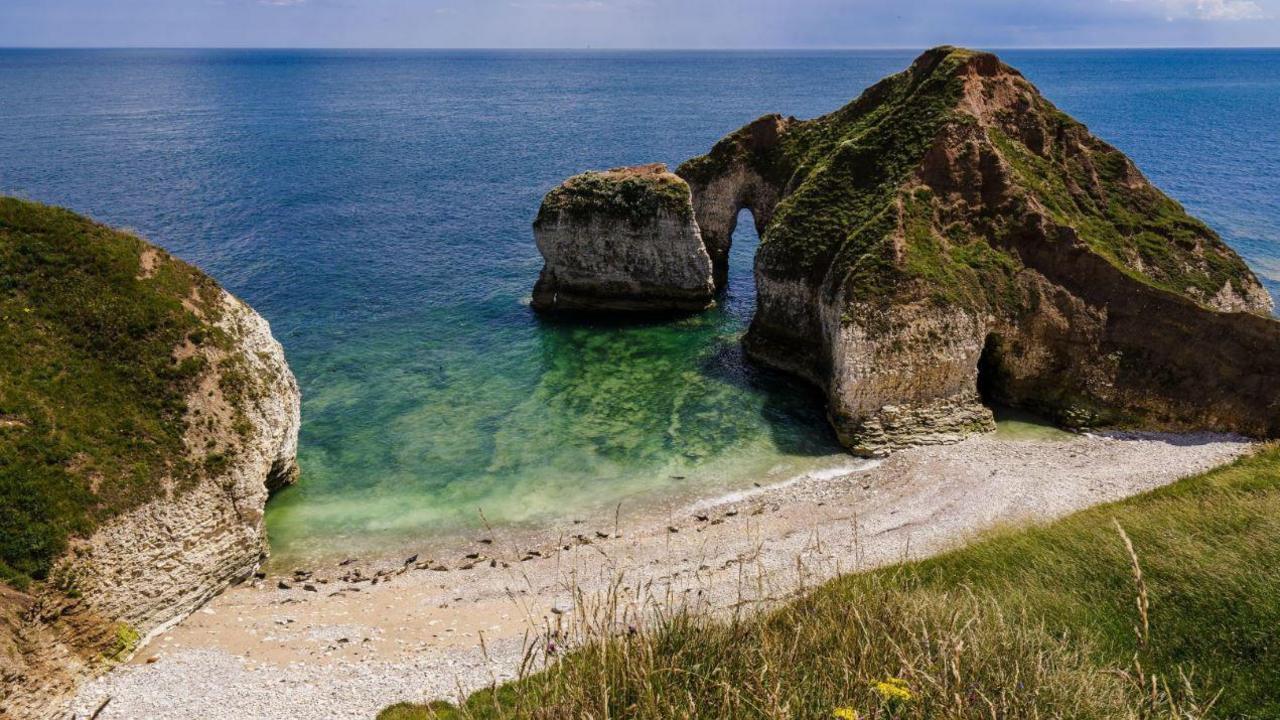
The Drinking Dinosaur, at Flamborough Head, so-called because the cliff formation resembles a long-necked dinosaur drinking from the sea
- Published
The nicknames of landmarks around the UK are being used to help emergency workers pinpoint the location of incidents.
A new tool developed by Ordnance Survey (OS) includes the colloquial names for more than 9,000 places.
They include the Drinking Dinosaur, a cliff formation at Flamborough Head in East Yorkshire, and Jabba the hut, a pear-shaped beach hut at Mablethorpe in Lincolnshire.
John Kimmance, the managing director of OS national mapping services, said the database "could mean the difference between life and death on an emergency call".
Called the Vernacular Names Tool, it has been designed to help responders get to emergencies quickly, however the location is described.
Control room staff type in a nickname and the system generates a precise location.
OS is asking emergency service workers to add colloquial names from where they live to the database.
One entry, "the wedding cake", describes the Queen Victoria Memorial opposite Buckingham Palace. It was suggested by the Princess Royal during a visit to OS headquarters in Southampton.
Chris Jones, an administrator at the Welsh Ambulance Service, said the tool was "very easy to use".
"The real value longer term will be ensuring that our ambulances will be able to get to the scene of an incident effectively with an accurate location provided by OS, no matter how it's identified by a caller," he added.
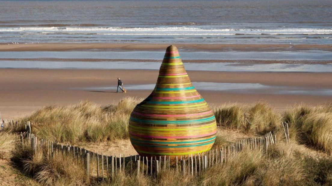
A beach hut nicknamed Jabba the hut, after the character from Star Wars, in Mablethorpe, Lincolnshire
The new tool has replaced FINTAN, a mapping system used by HM Coastguard for the past decade.
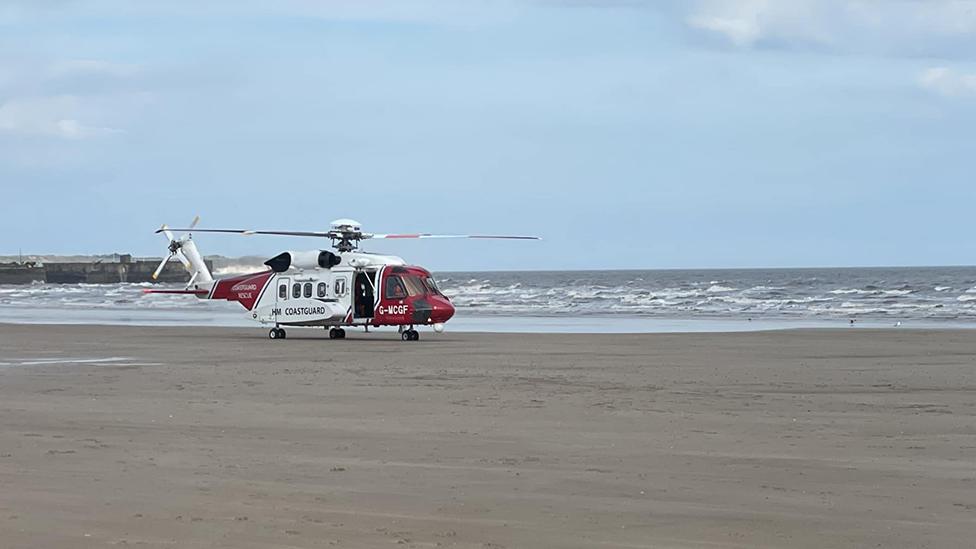
In one incident, a coastguard search and rescue helicopter used FINTAN to locate a missing person at a place known locally as the Fun Ship, at Mostyn Docks on the River Dee.
In another, a caller who had fallen and injured his leg was found at a spot on a beach nicknamed Tiki Head, in Gwynedd, Wales.
Chief coastguard Peter Mizen said the new tool "allowed local knowledge to be shared across our operational network".
"There are examples where its use has improved the tasking of critical rescue assets," he added.
Information from the tool will also help improve the OS emergency services gazetteer – a database of 1.3 million features across the UK, from roundabouts to cliffs.
Follow BBC East Yorkshire on Facebook, external, X (formerly Twitter), external and Instagram, external. Send your story ideas to eastyorkslincs.news@bbc.co.uk, external
- Published5 May 2024
- Published30 April 2024
- Published24 April 2024
