Man uses Google Earth to win decking planning bid

Gareth William Leek used an aerial photograph from Google Earth to help show his decking was lawfully built
- Published
A homeowner has used Google Earth to keep decking he built in his garden to avoid a planning permission dispute with a council.
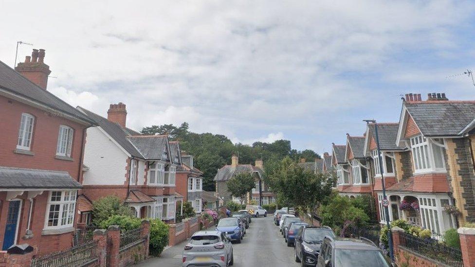
Gareth William Leek, from Pontypool, Torfaen, had been told a planning application was required for his decking years after it was built because it was about 50cm (20in) too far off the ground.
Decking more than 30cm (12in) requires planning permission, but local authorities must take action within four years for most developments - and a Google Earth photograph submitted by Mr Leek showed the decking in June 2018.
A planning officer concluded there was no reason to doubt the decking had not been "substantially completed" for less than four years and Mr Leek's certificate of lawful development was granted.

Gareth Leek used photographs taken back in 2017 to make his case to the council
The application stated the decking had been completed in October 2017 and a statement from a neighbour supported Mr Leek's claim it had been built since at least 2019, when they moved to St Augustine Road in Griffithstown, Pontypool.
As part of his evidence, Mr Leek also dug out old photographs dating back to August 2017, when the raised wooden platform was constructed.
The council planning department said the 4.84m wide, and 3.82m long, light grey composite decking was 83cm from the ground level, meaning it is just over half a metre over the height that requires planning approval, which is 30cm.
Planning officer Simon Pritchard said the council accepted the evidence put forward by Mr Leek which included a Google Earth aerial photograph from June 2018.
Mr Pritchard said the council did not have any evidence itself, or from anyone else, to contradict the information provided.
Related topics
- Published19 August 2024
- Published12 January 2024