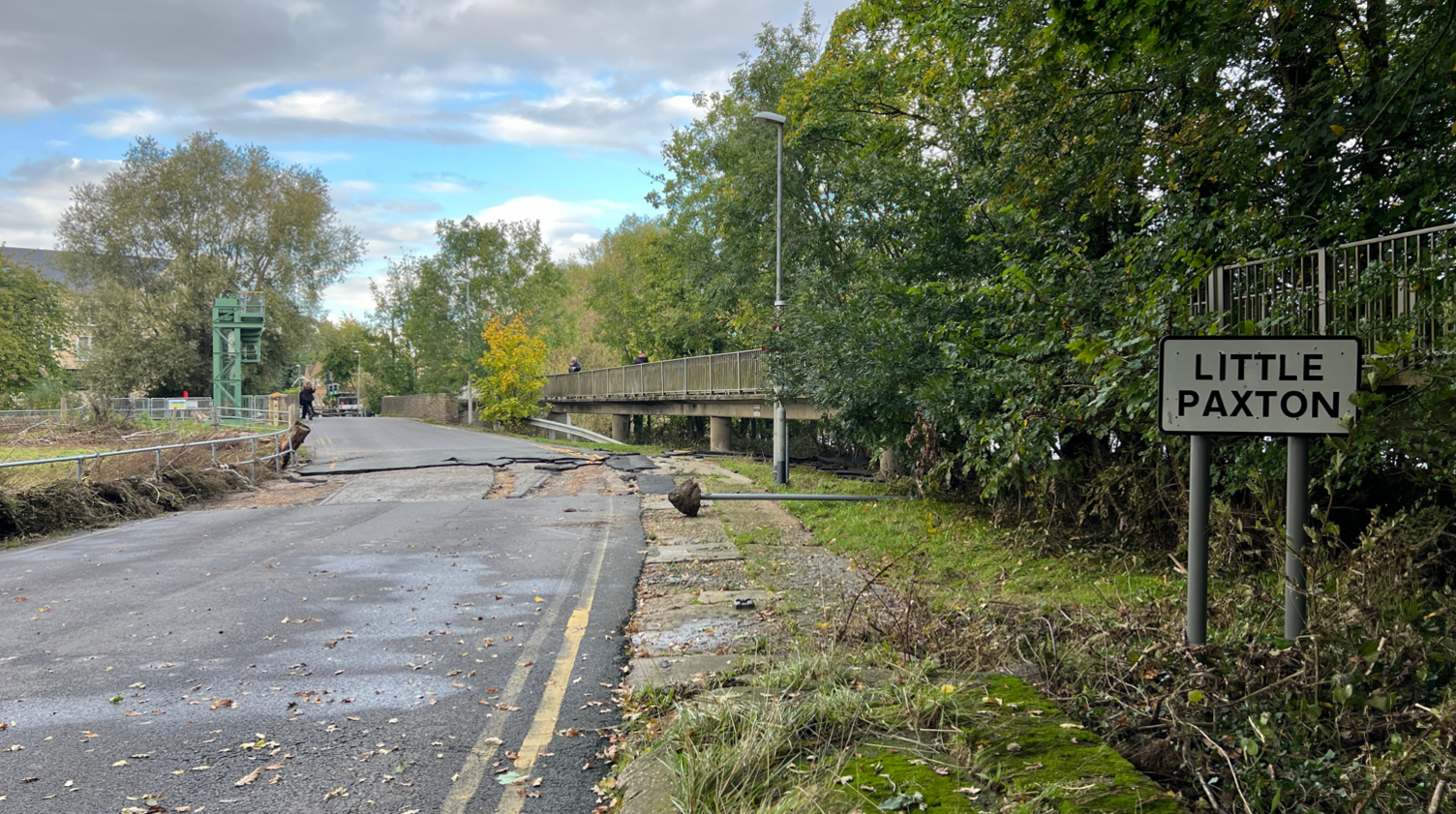
Council wants urgent meeting over flood-hit bridge
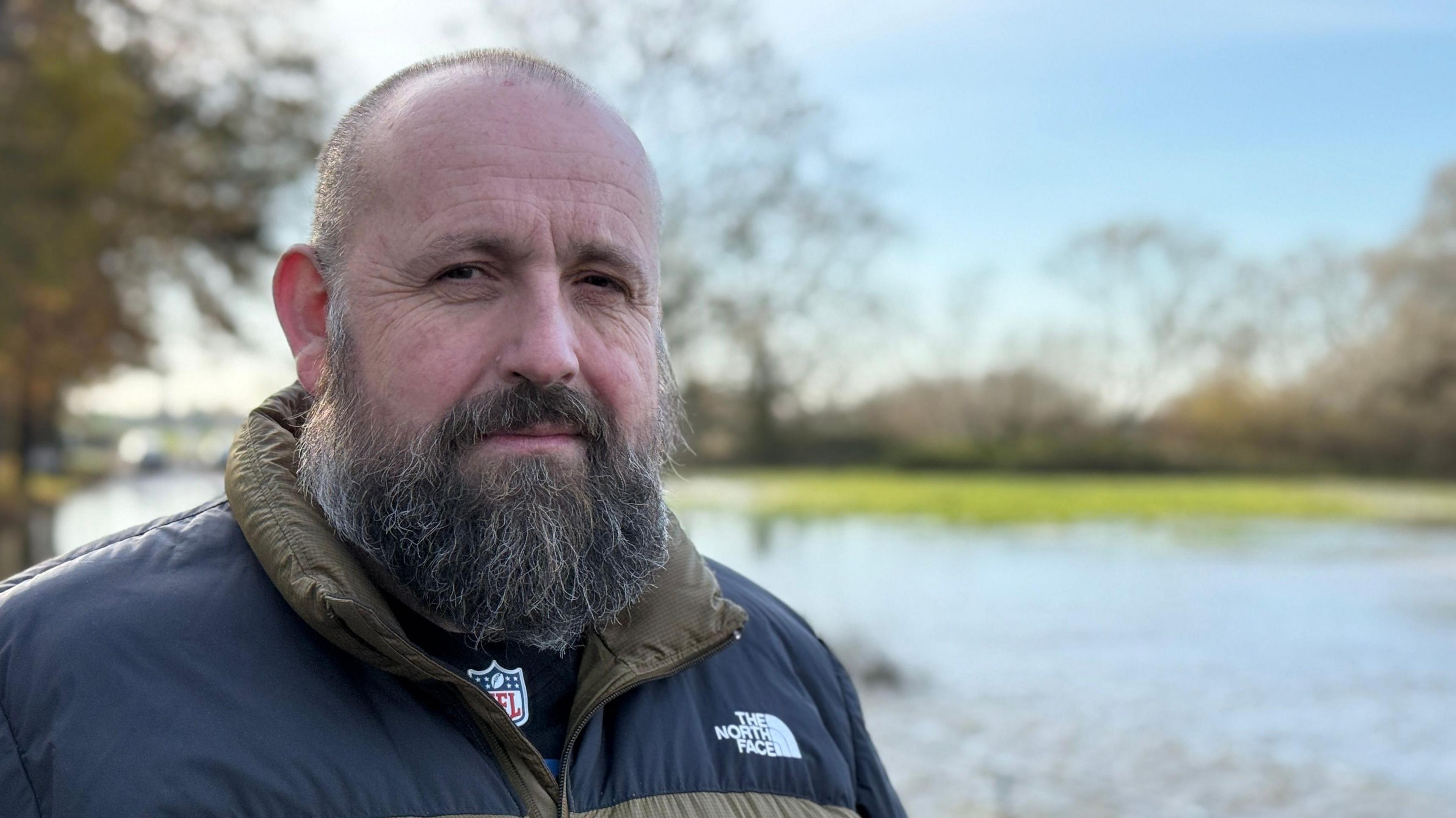
Stephen Ferguson, a local independent county councillor, said the disruption was "enormous"
- Published
Cambridgeshire County Council says it has asked for an urgent meeting with the Environment Agency over a flooding hotspot.
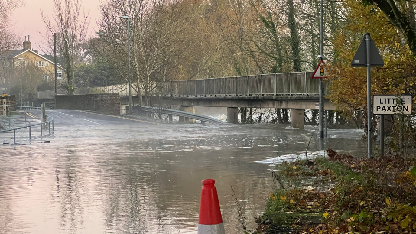
The area at Little Paxton Bridge in Mill Lane, near St Neots, has flooded for a third time this year despite recent repair work.
One local resident said it needed sorting "once and for all".
Liberal Democrat Alex Beckett, chair of the highways and transport committee at the council, said he and council leader Lucy Nethsingha had requested the meeting.
Mr Beckett said a highways crew had checked the site and wanted to assess the road surface once flood water receded.
"It’s incredibly frustrating that the flooding at this location is happening more and more and so soon after our recent repairs," he said.
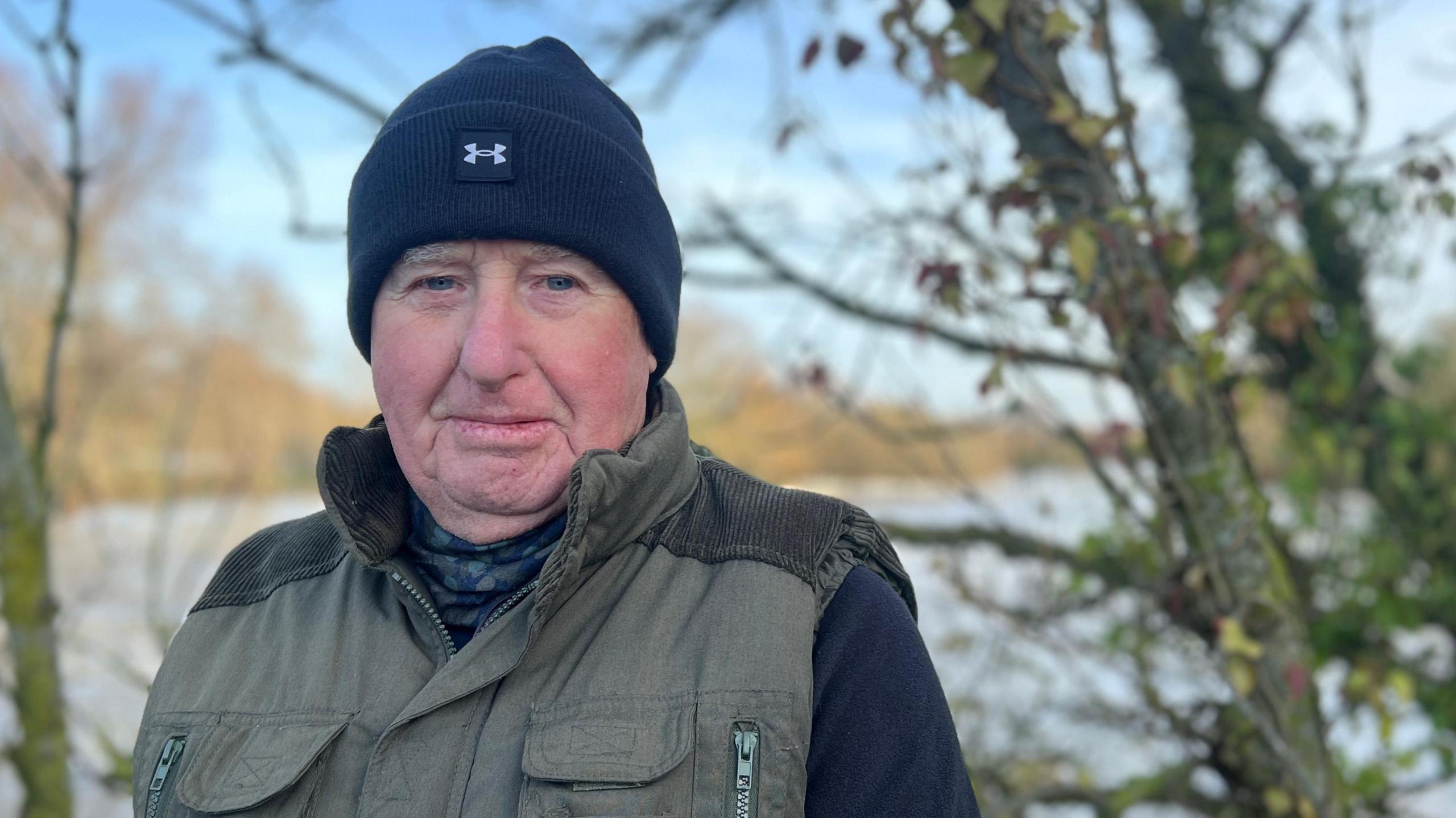
Little Paxton resident David Rennie said he was concerned about any lasting damage to the road
David Rennie, who lives in Little Paxton, said he was unhappy about money spent renovating Market Square in St Neots, when something "constructive" was needed for the bridge.
The 77-year-old said he and neighbours had to drive a four-and-a-half-mile detour (7.2km/h) to reach the supermarket when the bridge was closed off.
"I have always seen this place flooded," he told the BBC.
"We need to get this place sorted out once and for all."
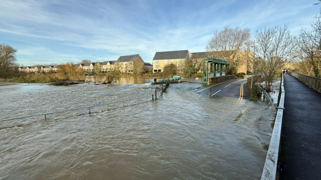
Parts of Mill Lane, at either side of the bridge, have been submerged following Storm Bert
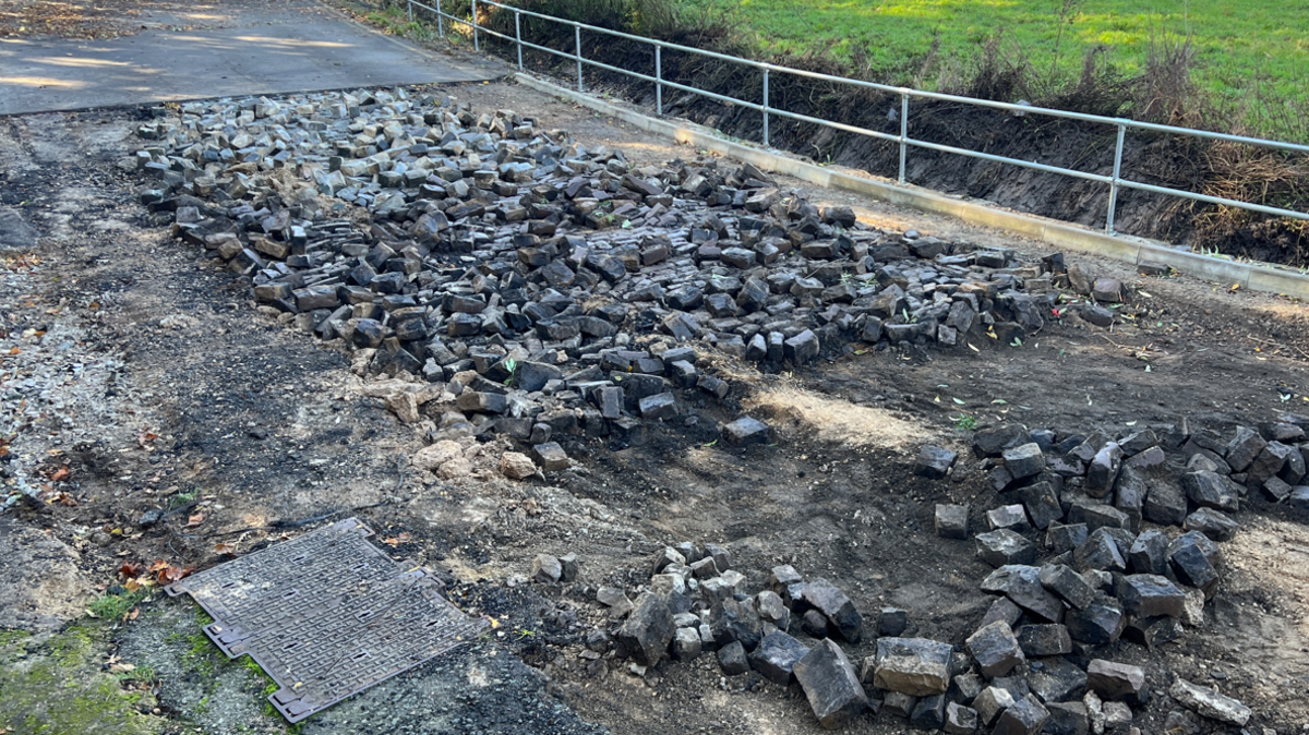
The last time the road was damaged by the River Great Ouse, it was stripped back to the old cobbles underneath.
The road has been repaired twice this year, including last month, when the depth of the road surface was increased and a new kerb line was installed.
The latest river level reading measured 1.43m (4.7ft) - five days since Storm Bert arrived in the region. The normal range is 0.82m-1.1m.
Stephen Ferguson, the local independent county councillor for the area, said "repeated failure is simply not good enough".
"The amount of disruption is enormous. We need to look into more permanent solutions," he said.
"Whether it's looking at containment of the river or raising of the roads something clearly has to be done now."
The Environment Agency - which is responsible for flood management - said it had received a request to meet with the county council to discuss the flooding.
A spokesperson said: "The road is at a high risk of flooding and we have seen frequent flooding at this location and would expect this to continue going forward.
"Highway roads, footpaths, drains and gullies are the responsibility of the local highway authority which sits within Cambridgeshire County Council, rather than the Environment Agency.
"The Environment Agency will however provide support to the council and provide input to any proposals developed to reduce the risk of flooding at this location."
Get in touch
Do you have a story suggestion for Cambridgeshire?
Follow Cambridgeshire news on BBC Sounds, Facebook, external, Instagram, external and X, external.
- Published28 November 2024
- Published22 October 2024
- Published8 October 2024
