Opinions sought on city's bike and walking routes

Hull City Council wants feedback on its Local cycling and Walking Infrastructure Plan
- Published
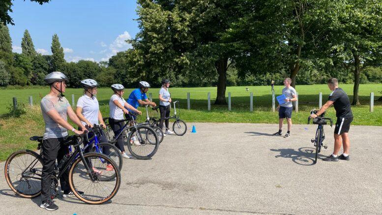
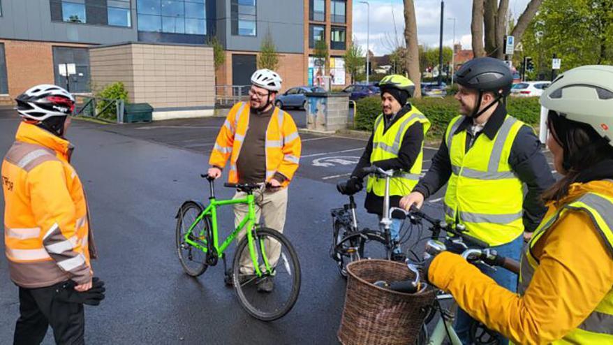
People are being asked to share their thoughts about Hull's cycling and walking routes.
Hull City Council wants feedback on its 10-year Local Cycling and Walking Infrastructure Plan (LCWIP).
The scheme identifies problems with the current travel network and proposes solutions.
Drop-in sessions will be held and people have until 8 August to complete an online survey.
Councillor Mark Ieronimo, portfolio holder for transport and infrastructure, said the LCWIP supports bids for government funding.
He said: "We are keen to understand people's walking and cycling habits and their attitudes towards the proposed LCWIP."
The plan, seen by the Local Democracy Reporting Service, proposes investment to boost the following walking routes:
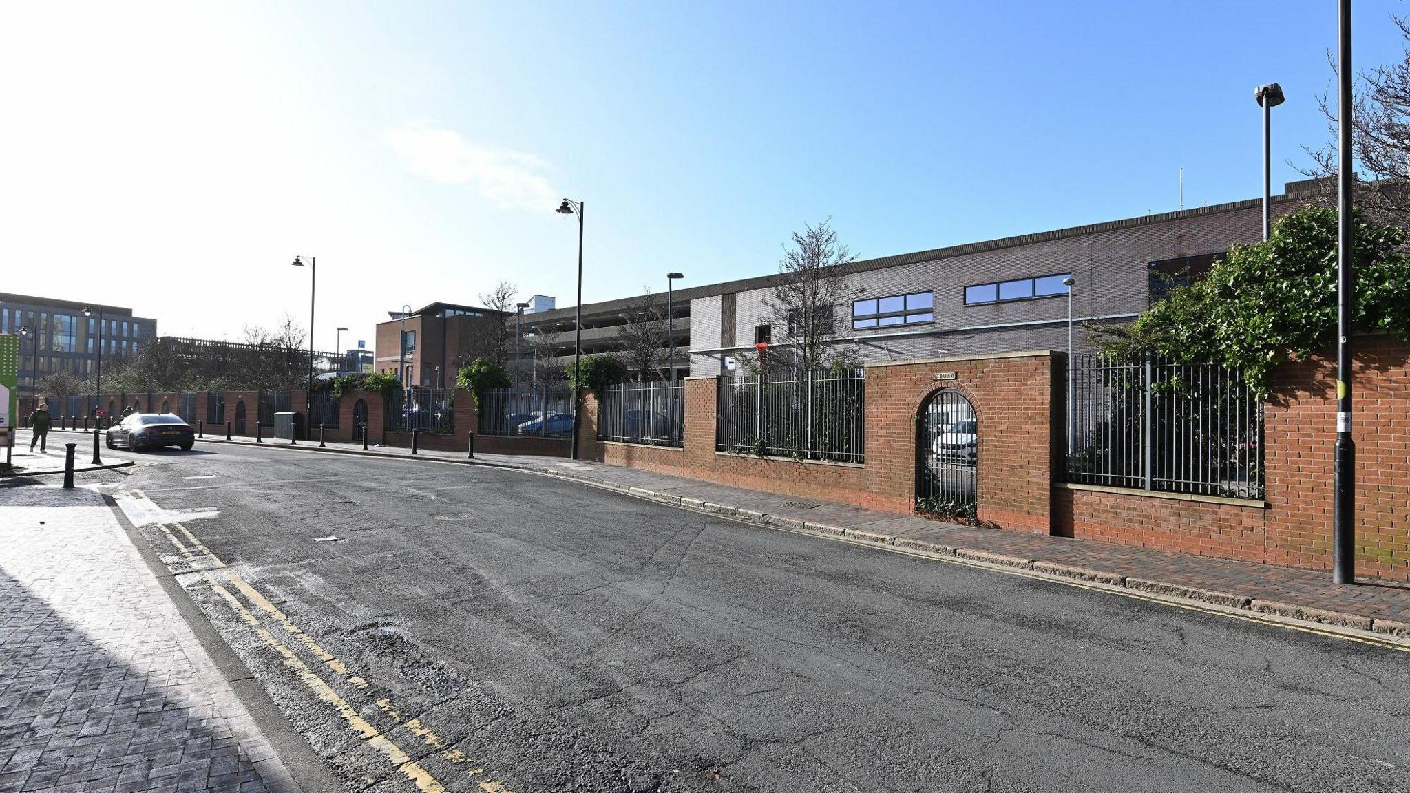
Anlaby Road
Hessle Road
St George's Road
Boulevard
Woodcock Street / Gordon Street / Cholmley Street
Officials also identified the following key cycling routes used by commuters:
Clough Road
Preston Road
Freetown Way
Marfleet Lane
Cleveland Street
Sutton Fields
Kingswood
Hessle Road
Sutton Road
Hawthorn Avenue to Ferensway
Chanterlands Avenue
Holderness Drain
Further information about drop-in events will be published by the council later. The online survey can be found here, external.
Listen to highlights from Hull and East Yorkshire on BBC Sounds, watch the latest episode of Look North or tell us about a story you think we should be covering here, external.
Related topics
- Published11 June
- Published22 December 2024
- Published3 May