Concerns raised over liveable neighbourhood plans

Bakery owner, Ana Bran, said she is worried her businesses might not survive the new plans
- Published
Business owners say they are worried they may lose customers unless plans to introduce a system of one-way streets are amended.
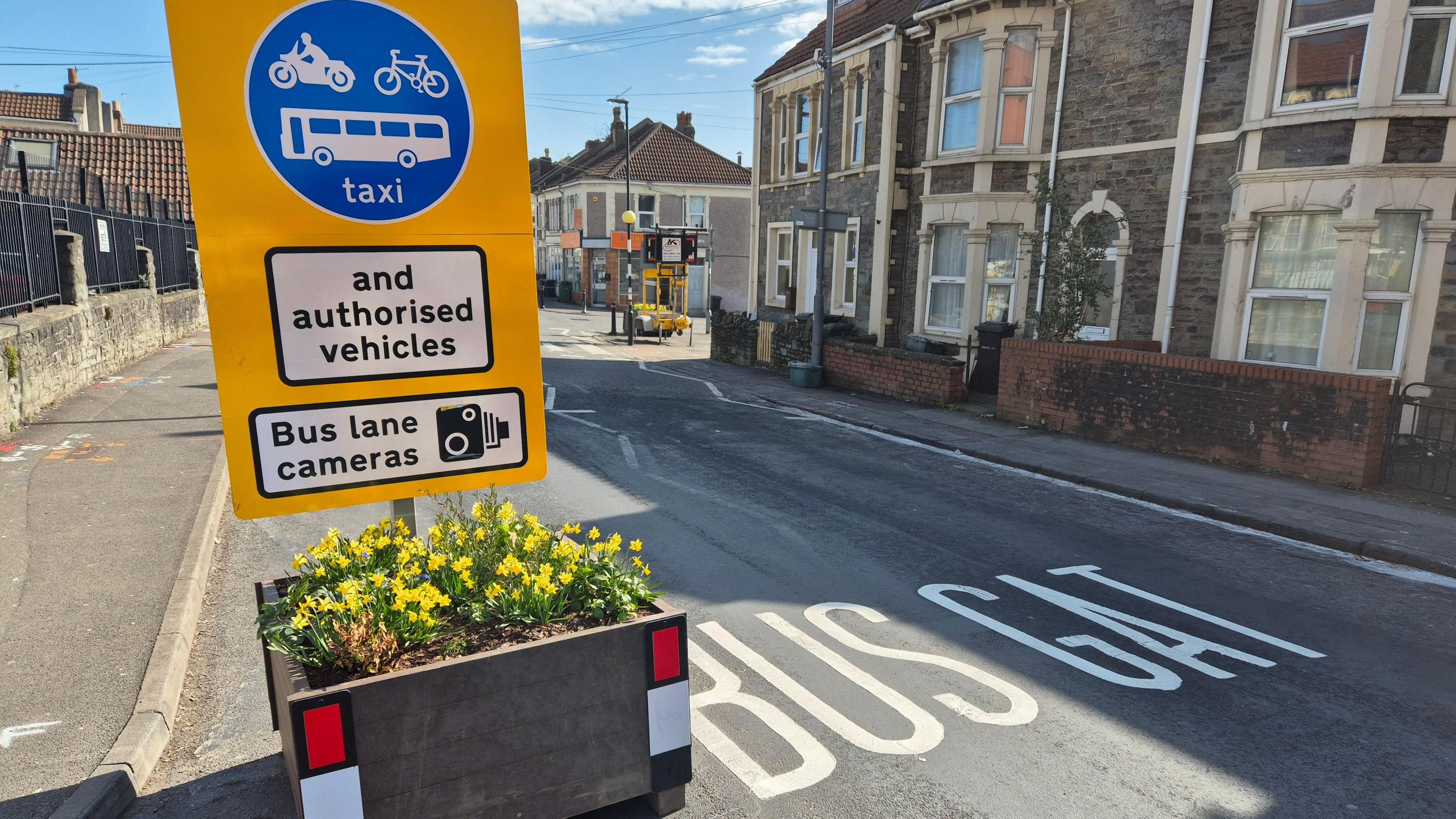
The proposals are part of the South Bristol Liveable Neighbourhood, which aims to create safer roads to encourage people to walk or cycle.
Ana Bran, who runs The Bakehouse in Totterdown, said: "We're going to lose at least 50 per cent of our customers who drive by car if they create a one-way system."
Bristol City Council deputy leader Heather Mack said: "Its absolutely not a done deal. We've put some options out there and the reason why we've done loads of consultation is to see what people think."

Greengrocer, Jo Pace is concerned she will lose customers if the plans are introduced
The scheme will first focus on changes to road access around Windmill Hill, Totterdown, Southville and Bedminster - with some parking restrictions proposed for a wider area across the south of the city.
Jo Pace, who runs the Banana Boat greengrocer in Totterdown, described the plans as "madness" although she admitted: "I understand we need to cut emissions, I understand they want to make the roads safer."
She said she was worried the shop would lose customers.
"If people haven't got easy access they're not going to come back and I don't know what our future will hold," she added.

The map shows the area covered by the South Bristol Liveable Neighbourhood
The council insists it will "build upon learnings" from the scheme in East Bristol, where some businesses have reported a drop in takings and road signs have been defaced.
Ms Mack said: "I think there are good bits and there are challenges."
The authority is monitoring air quality, the number of vehicles, and journey times - as well as conducting a survey of residents' experiences.
Asked why the council has chosen to begin planning for south Bristol before the first trial has been evaluated, Ms Mack said the authority is "responding to timescales for government funding".
Money for liveable neighbourhoods comes from the Department for Transport and is ring-fenced for improvements to sustainable transport.
The first round of funding has to be spent by the end of March 2027.
The consultation, external on South Bristol is open until 30 October and the council is running drop-in sessions to help decide the final design of the scheme.
In East Bristol, a survey, external of residents' experiences is open until 7 November.
Related topics
- Published13 September
- Published28 March
- Published12 May