Jersey coastal water quality map goes live

Seawater around Jersey is routinely tested
- Published
An interactive map showing sea water quality around Jersey's coast in 2024 has gone live online.
The website, external allows access to the results of routine sampling at 16 bays across the island.
The areas tested are regularly monitored by government experts between May and September each year.
Seawater quality is then categorised as excellent, good or poor, with data used to advise swimmers about using particular bays.
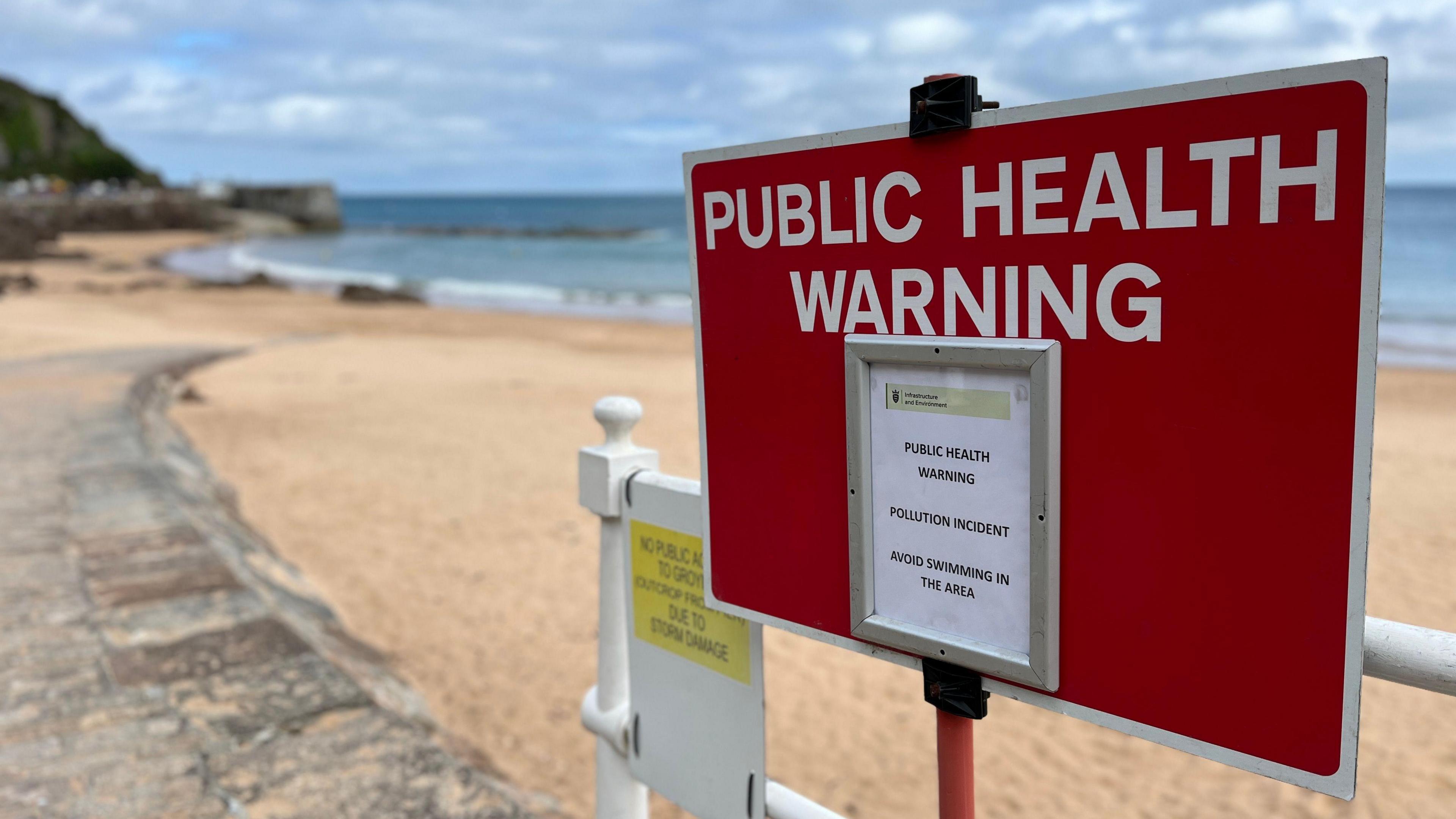
The launch of the website comes as public health boss urged people not to swim at a beach after high levels of E. coli were found in the water.
Public health said an investigation into the cause of the pollution in Greve de Lecq is ongoing.
Follow BBC Jersey on X (formerly Twitter), external and Facebook, external. Send your story ideas to channel.islands@bbc.co.uk, external.
Related topics
Related internet links
- Published16 May 2024
