New defences for town 'at risk of tidal flooding'

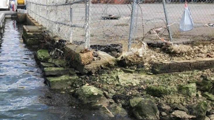
The project aims to replace quay walls between the RNLI car park and Poole Bridge
- Published
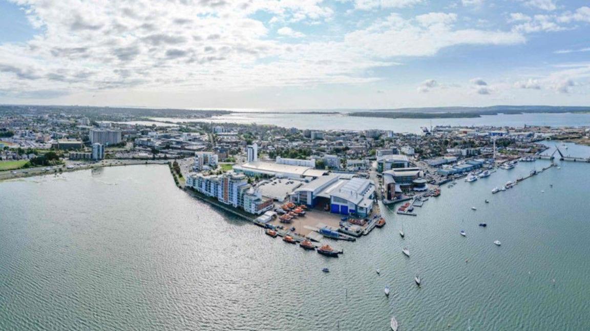
Flood defences are to be built along the last remaining undefended waterfront in Poole.
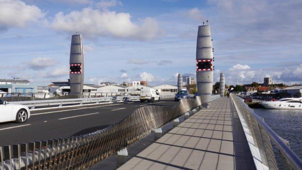
The work between Poole Bridge and Hunger Hill is aimed at reducing tidal flood risk in the town centre, the Old Town and surrounding areas.
Incomplete defences were leaving the whole area vulnerable to tidal flooding, according to BCP Council.
A consultation about the waterfront construction work opens on Wednesday.
The council is working with the Environment Agency, landowners and developers on improving defences on a 1.5km (0.9-mile) stretch along Back Water Channel.
BCP environment councillor Andy Hadley said: "While some properties here have flood resilience built in, such as raised thresholds, others are critically low and are in a state of disrepair.
"Over the last 25 years, it was anticipated ongoing regeneration would deliver full flood protection, however, recent developments have only provided flood defences along discrete lengths.
"This incomplete defence leaves the whole area vulnerable to tidal flooding which is expected to increase in frequency and severity with climate change."

Crumbling sea walls are to be replaced
The project was awarded £12.4m Grant in Aid funding from the Environment Agency in 2021.
It includes replacing quay walls between the RNLI car park and Poole Bridge in 2026, as well as raising ground levels and the increasing the height of flood defences along other parts of the waterfront in 2025.
Residents are being asked for their views to help inform the construction planning process to help minimise disruption.
A drop-in event is being held at Sea Scouts Hall in West Quay Road on 5 September and there will be an online presentation and Q&A session on 11 September.
Details of the consultation and event booking information are on the Flood and Coastal Erosion Risk Management (FCERM) website, external.
The consultation closes on 30 September.
Get in touch
Do you have a story BBC Dorset should cover?
You can follow BBC Dorset on Facebook, external, X (Twitter), external, or Instagram, external.
Related topics
- Published30 September 2020
