3D maps rolled out to help disabled rail passengers

Ashford International is one 25 stations on the Southeastern network where 3D maps have been created
- Published
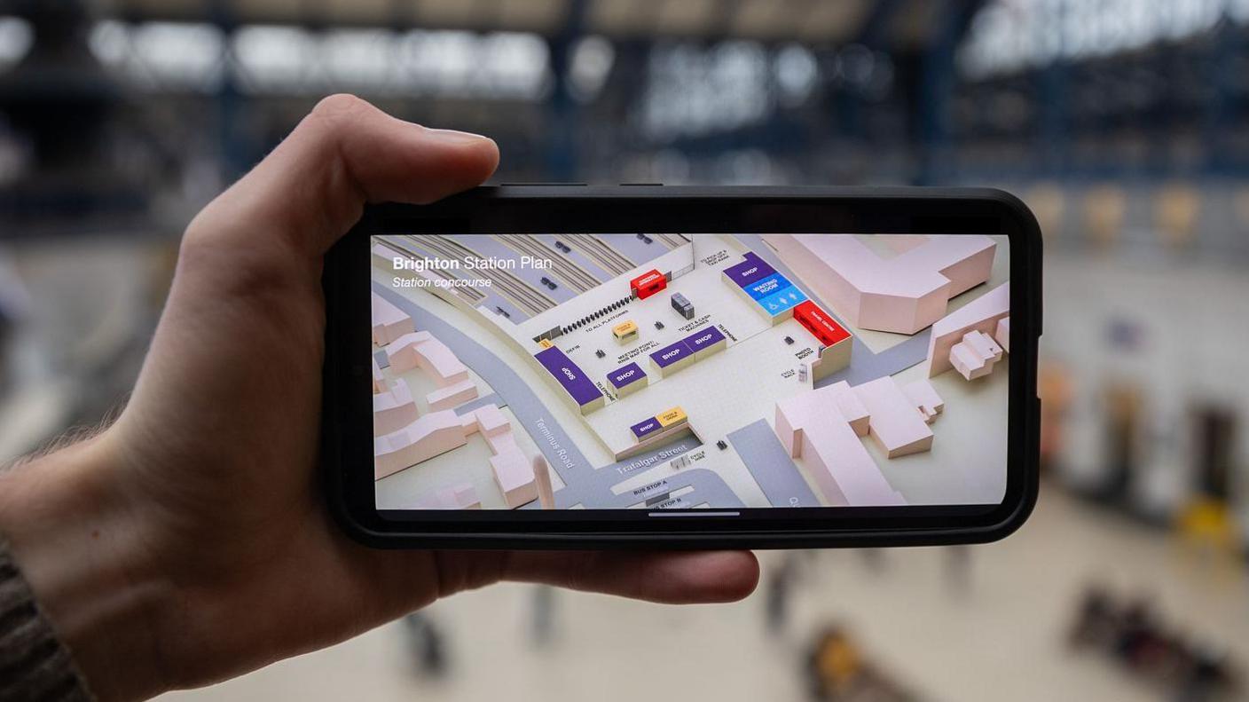
A train company has launched 3D maps to make it easier for disabled passengers to travel.
Southeastern says that maps for 139 stations on the Southeastern network will also help those who are visiting a station for the first time.
The train operator already has 3D maps for 25 stations, and it will roll out maps for a further 70 stations, alongside updated 2D maps for 69 others.
Trial results showed 3D maps make it easier for customers to identify station facilities and accessibility features.
The rollout is due to be completed by the end of March 2026.
Stations where 3D maps will be created include Folkestone Central, Sheerness-On-Sea, Paddock Wood and St Leonards Warrior Square.
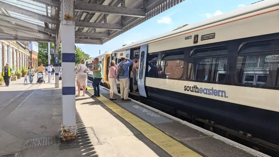
They were trialled at major stations across the Southeastern network, including Ashford International and Tonbridge.
Some smaller stations, including Knockholt, Lenham and Wateringbury, will continue to have 2D maps.
Tina Owusu, head of inclusive customer experience at Southeastern, said: "We believe these improvements will make a big difference to all customers, but particularly those with accessibility requirements or those travelling to a station for the first time."
Follow BBC Kent on Facebook, external, on X, external, and on Instagram, external. Send your story ideas to southeasttoday@bbc.co.uk, external or WhatsApp us on 08081 002250.
Related topics
- Published12 October

- Published16 November 2024