Drones - eye in the sky helping traffic keep moving
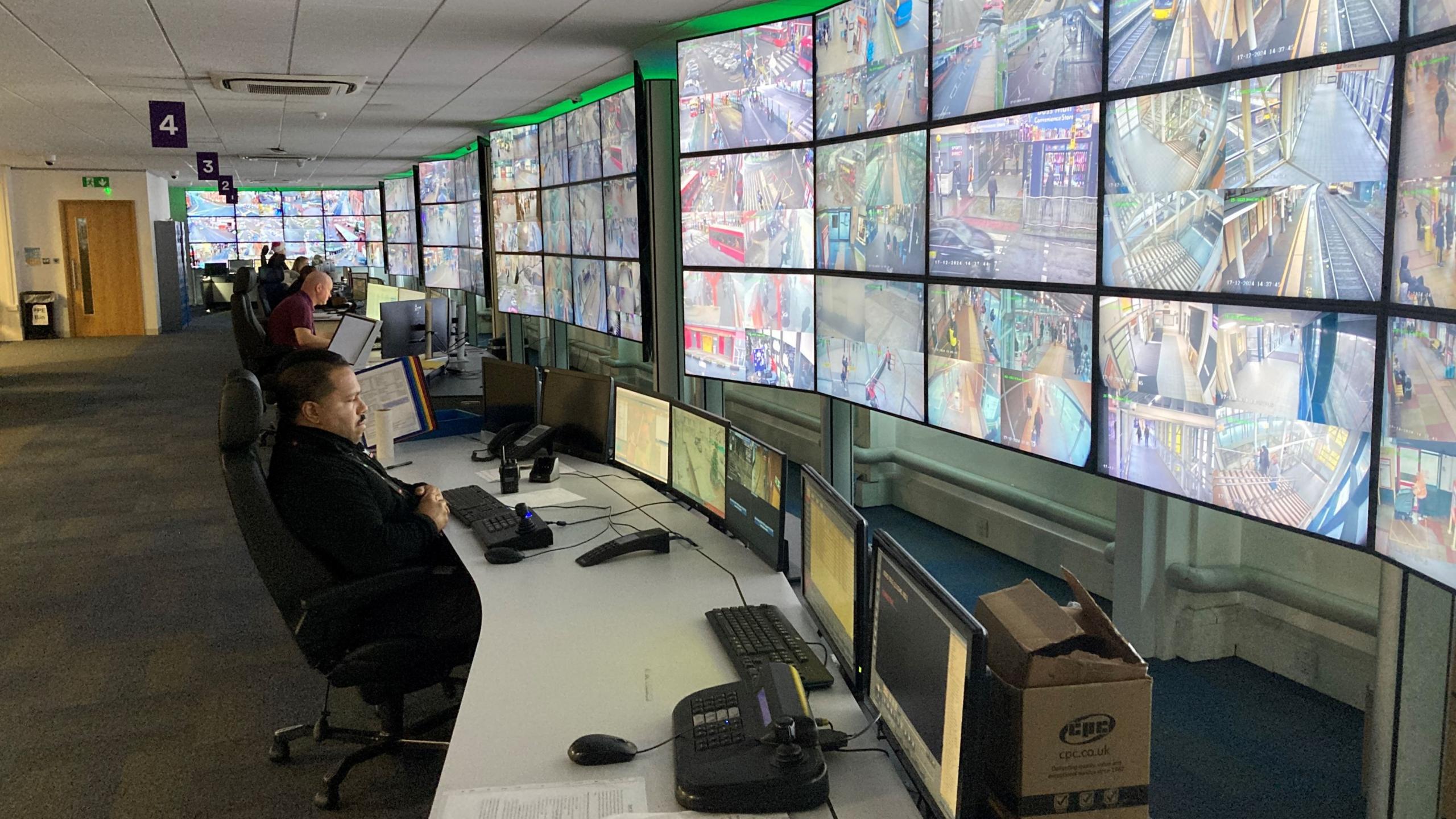
Footage from the drones is relayed to the Regional Transport Coordination Centre in Birmingham
- Published
Drones are helping transport chiefs inform drivers and tackle traffic congestion across the West Midlands by relaying live footage to a control centre.
Transport for West Midlands (TFWM) said the drones helped "cover gaps" not picked up by the region's static CCTV cameras. They also provide information after accidents and road closures.
Kerry Blakeman, of West Midlands Drone network, said they were "providing an eye in the sky" and teams were making "better decisions" to reduce congestion.
The drones recently helped shed light on congestion on the M5, which led to work being carried out.
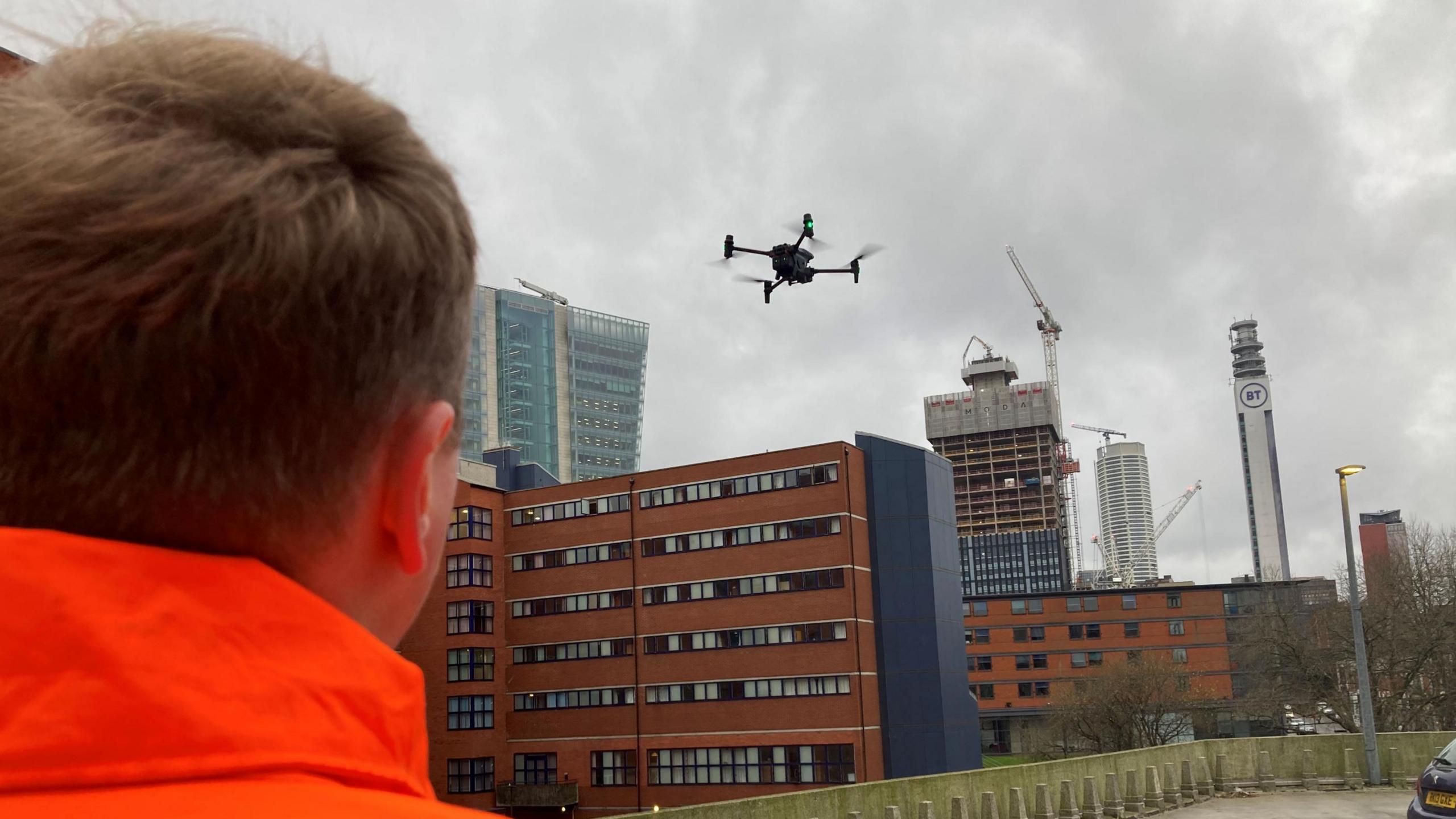
The drones can provide information after road closures and accidents
TfWM, which is part of the area's combined authority, said the drones were proving useful. The static cameras are not always high enough to get an overall picture and the drones can also show congestion from different angles.
"What we're finding is drones allow us that flexibility to deploy an eye in the sky where we don't have fixed camera coverage on the ground," said Mr Blakeman.
"And it's given us really good depth of view allowing us to make better decisions in terms of minimising traffic congestion."
The live pictures from the drones are monitored by staff at the Regional Transport Coordination Centre in Birmingham.
Information can then be sent out to drivers in the form of traffic alerts, including via WMRoads on social media.
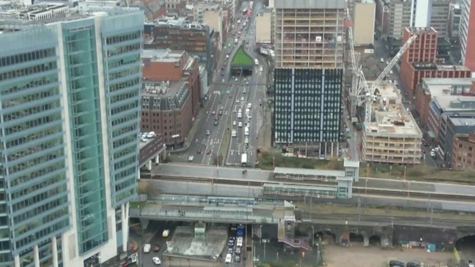
The drones send images back to be monitored by staff
The pictures are also being used with Artificial Intelligence (AI) to identify how junctions are being used and by which type of vehicles.
It is quicker than monitoring this from the ground.
Drone coordinator Justas Vasiliauskas said work was carried out after footage showed an island at junction one of the M5 "all clogged up".
This led to workers putting in a new set of signals "and since then the island has flowed like it should", he said.
The work was recognised with an industry award in the autumn.
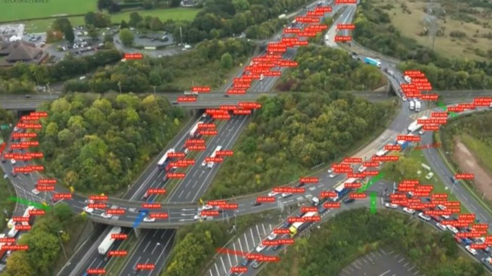
The drones are being used with Artificial Intelligence to gather information about how junctions are being used and what type of vehicles are using them
Get in touch
Tell us which stories we should cover in Birmingham and the Black Country
Follow BBC Birmingham on BBC Sounds, Facebook, external, X, external and Instagram, external.
Related topics
Related stories
- Published6 December 2024
- Published10 January