Thunderstorm warning extended for many across UK

- Published
Warnings for thunderstorms and heavy showers have been extended into Monday for many across the UK, covering much of England, east Wales and southern Scotland.
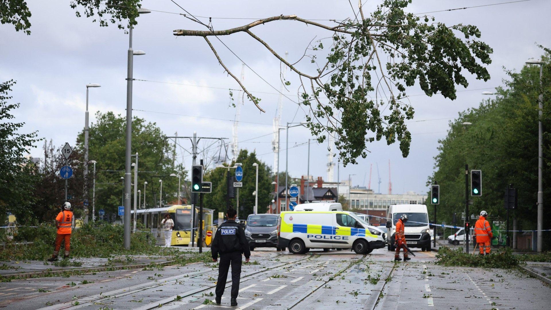
The Met Office said while many places would miss the storms, there was a "small chance of flooding and disruption" in some areas as a result.
A yellow warning urging people to "be aware", external came into force from 04:00 BST on Sunday, covering large swathes of southern England, the Midlands and the north of England and southern Scotland. It expired at 23:59.
Another yellow warning has since come into force, running from midnight on Sunday until 23:59 on Monday, covering much of England, eastern Scotland and eastern Wales.

Met Office yellow warning is in force throughout Sunday for thunderstorms
The Met Office said there was a chance of flooding, adding that "frequent lightning strikes and hail will be additional hazards" in southern and central England.
The most intense downpours will see frequent lightning and gusty winds.
But pinpointing exact locations of these showers is quite tricky, and it would be worth staying up-to-date with the latest forecast as it may change.
Away from the heavy showers and thunderstorms there will be some sunny spells.
It will have felt very warm and humid for many but especially so in south-east England.
Monday storms
The warning for Monday covers a large area of England, east and north Wales and up into southern and eastern Scotland.
The Met Office states that "while many places will miss them, thunderstorms may cause flooding and disruption".
It added thunderstorms could bring 60-80mm of rain in an hour in one or two places. Frequent lightning strikes and hail may cause an additional hazard.
Related topics
- Attribution
- Published1 August
- Attribution
- Published30 August 2024