Christmas Day second warmest on record on average

December was the warmest since 2018
- Published
The Isle of Man has seen its second warmest average Christmas Day temperature since records began, meteorologists have said.
Ronaldsway Met Office said at 11C it had been "unusually mild", with the highest minimum temperature on record at 10.5C and overall temperatures 4.6C above the usual.
The warmest average temperature for the day was 11.3C, which was recorded in 2011.
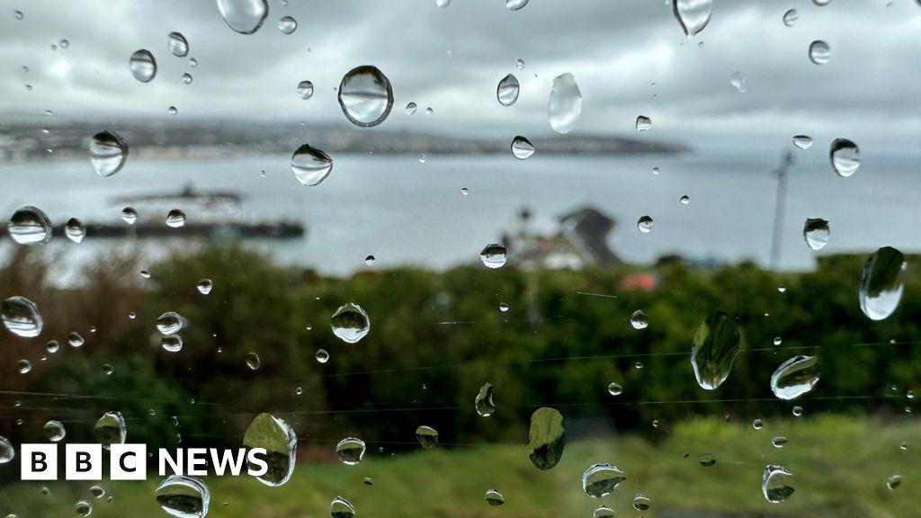
Hours of sunshine totalled 23.8 during the period, making it the dullest December since 1977's record low of 17.7 and the fourth lowest recorded.
Overall, it was the joint fourth warmest December, with temperatures averaging 8.7C, which was 1.6C above the 30-year mean.
Night time temperatures were also mild at 6.9C, up 1.9C on the average, which was caused by persistent cloud throughout the month.
The highest temperature of 13.3C was recorded on 1 December, which was the highest during the month since 2015, with the lowest temperature reaching 2.7C on 2 December.
The daily maximum was 10.5C, 1.4C above the average and the joint second highest since records began.
Rainfall
There was 3.5 inches (8.9cm) of rain recorded, down from an average of 3.8in (9.5cm), with half of that total collected in the first seven days of the month.
The wettest day was 4 December with 0.4in (0.96cm) measured at Ronaldsway.
With varying wind speeds during the period, overall it was "close to average", with 17.8mph (28.7kmph).
The strongest winds were recorded during Storm Darragh on 7 December which saw speeds reaching 75mph (120kmph) and had been "unusually prolonged", lasting most of the day.
Meteorologists said gales were also recorded on 22 and 31 December.
Why not follow BBC Isle of Man on Facebook, external and X, external? You can also send story ideas to IsleofMan@bbc.co.uk, external
More like this story
- Published5 June 2024
- Published3 May 2024
- Published3 April 2024
- Published3 January 2024