Storm Éowyn to bring strong winds to south east

Kent, Sussex and Surrey are all likely to be affected by strong winds over the coming days
- Published
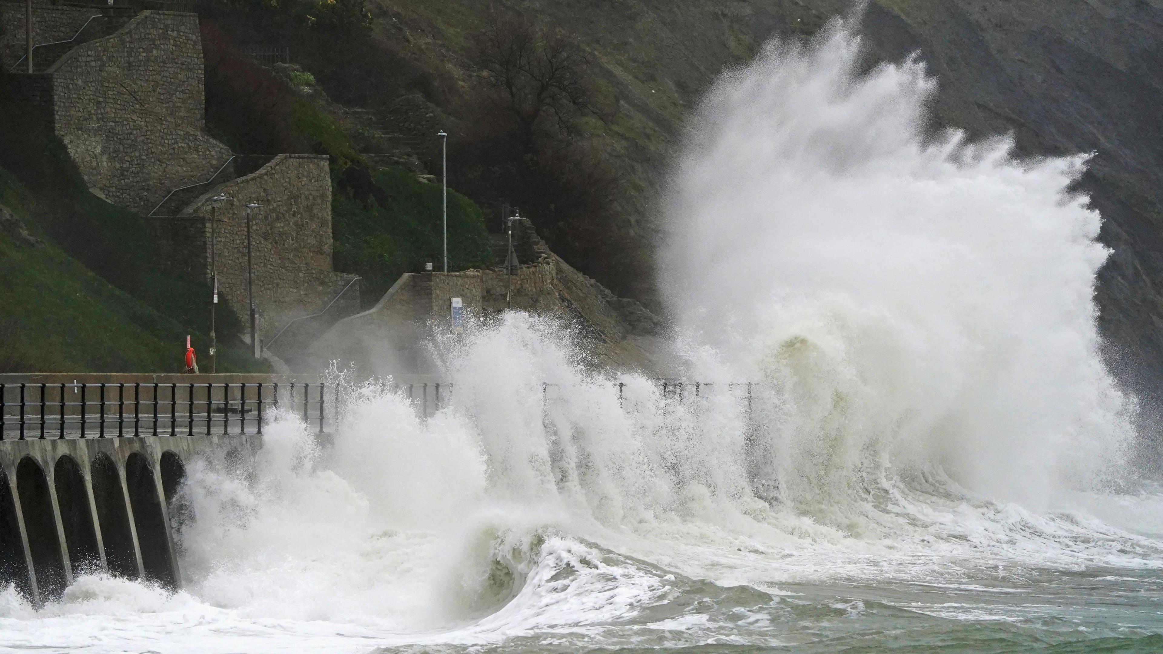
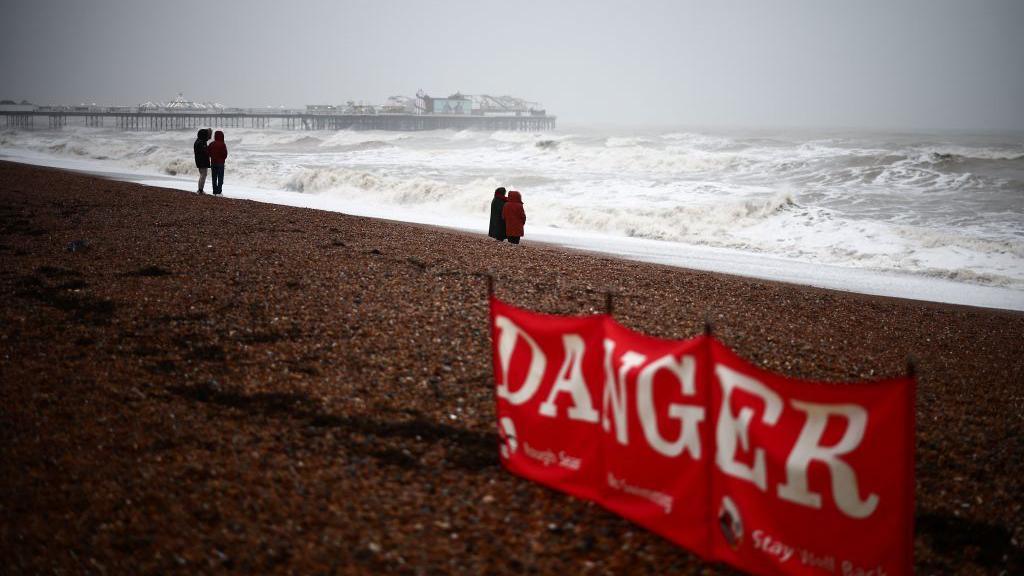
Huge swathes of the south east are expected to see blustery conditions over the next few days as the Met Office issued two yellow warnings for wind.
A yellow warning for strong winds is in place for Kent and Sussex from 07:00 until 18:00 GMT on Thursday, while those counties and Surrey are included in another yellow warning which comes into effect at 05:00 GMT on Friday.
The second warning has been issued in response to Storm Éowyn, which is set to bring about strong winds until 15:00 the same day.
BBC Weather's Nina Ridge suggested that the windy weather "could persist well into February".
She said: "The return to unsettled weather starts on Thursday afternoon, with an initial front forecast to bring heavy rain and strong winds across Kent, Sussex, and Surrey.
"The winds will peak in the afternoon with gusts of 50-60mph (80-96km/h) through the English Channel."
The weather pattern is undergoing a "dramatic shift" from calm, cold, and cloudy conditions to those which are "stormy and disruptive", she added.
According to the Met Office, gusts of 40-50mph (64-80km/h) are likely for part of Friday as Storm Éowyn moves across the north west.
Nina says the south east will "avoid the storm's most severe impacts" despite being under a yellow warning.
Follow BBC Kent on Facebook, external, on X, external, and on Instagram, external. Send your story ideas to southeasttoday@bbc.co.uk, external or WhatsApp us on 08081 002250.
Related topics
Related stories
- Attribution
- Published22 January

- Attribution
- Published1 August
