Thunderstorms and floods expected in England and Wales

- Published
Yellow warnings for thunderstorms and heavy rain are in place for parts of England and Wales as a heatwave continues.
Heavy showers, lightning and thunder are forecast for Thursday, with travel disruption and power cuts possible.
Flood alerts are also in place in parts of the Midlands.
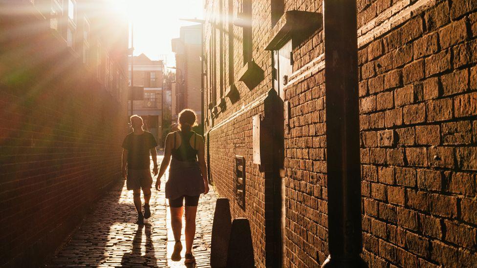
The warm temperatures of recent days are set to continue across large parts of the UK into Friday, with peaks of 29C expected in southern England.
Following the passing of Wednesday morning's heavy rain in northern England, the Met Office reduced the size of the Yellow warning for thunderstorms.
It remains in place for areas from South Yorkshire, through the Midlands and into much of southern England, as well as parts of eastern Wales.
The Met Office said some areas could see difficult driving conditions and road closures, as well as delays and cancellations to train and bus services.
It warned there could be damage to buildings from fast-flowing water, lightning strikes, hail or strong winds, and that the flooding could pose a danger to life.
Homes and business could see power cuts and losses of other services, the forecasting agency added.
Dan Holley, a deputy chief forecaster at the Met Office, said the thunderstorm warning had been issued for a broad area but that not all of it would be affected.
"The most intense impacts are likely to be focussed on central, southern and south-east areas of England," he said.
"Here, some locations will witness torrential downpours, large hail and frequent lightning.
"A few places could see 50-100mm of rainfall in a few hours."
In the areas covered by the warning where storms do develop, they are likely to be slow-moving.
Large totals of rain could mount up in a short space of time, leading to flooding and disruption.

The Environment Agency has issued eight flood alerts for parts of Nottinghamshire, Derbyshire and Loughborough.
The rivers affected include the Trent, Maun and Leen, with low-lying agricultural land, roads and footpaths close to small rivers and streams most at risk.
People in these areas have been advised to avoid using low-lying footpaths near local watercourses or low-lying roads near rivers.
The humid conditions that many have experienced this week will finally lift through Friday night and into Saturday as a cold front sweeps across the country.
It will be fresher for all this weekend, but still pleasantly warm in the sunnier moments.
The UK recorded its hottest day of the year on Tuesday, when measuring stations in both Heathrow and Kew Gardens, south-west London, reached 32C (90F).
The Met Office defines a heatwave in the UK, external as "when a location records a period of at least three consecutive days with daily maximum temperatures meeting or exceeding the heatwave temperature threshold."
For London and the surrounding region, that threshold is 28C - which has been surpassed since Monday. Temperatures had been expected to remain above that level through to Friday.
In south-east England the threshold is 27C, dropping to 26C for other parts of southern England and the Midlands.
For Scotland, Northern Ireland, Wales and most of northern and western England, the heatwave threshold is 25C.
The hot weather is expected to cool slightly into the weekend, with highs of around 23C forecast for Saturday.
The Met Office said there would still be a risk of isolated thunderstorms in the east and south-east of England, but that their frequency and impact would be much reduced.
Related topics
- Published30 July 2024
- Published24 July 2024
- Published25 July 2024