Warm bank holiday forecast as NI heats up before storm

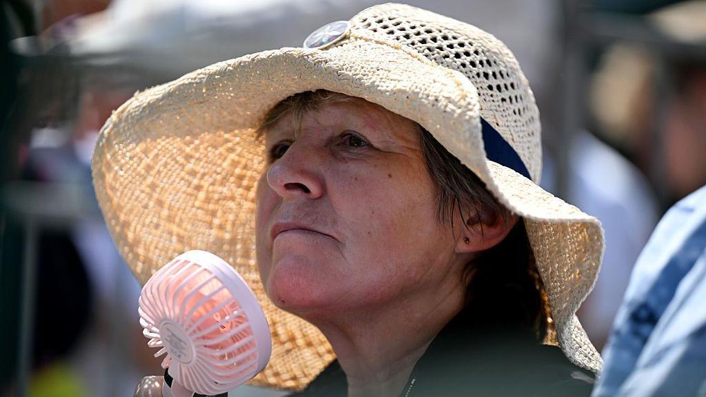
This dog was enjoying a cold water dip at Cultra in County Down during one of this summer's heatwaves
- Published
Monday marks the last bank holiday of the summer and the forecast looks pretty good.
There will be a lot of dry weather although Saturday may be the exception with some showers forecast.
Temperatures are on the rise, climbing back into the low 20s again.
Then it is all to change as Hurricane Erin introduces wet and windy weather by the end of the bank holiday and more general unsettled conditions for next week.
Was this year an outlier?

Temperatures are rising quicker than they have done before
The official summer statistics will be available at the end of the month but so far it has been drier and warmer than average with three heatwaves in the bank, although officially the first one occurred at the end of spring.
We have also had a named storm - Storm Floris - and the new set of storm names will soon be available for the coming autumn season.
But the question has been asked: "Was this year an outlier and why has it been so good?"
Various areas of high pressure have allowed for a lot of dry weather and being on the edge of a couple of European heatwaves have boosted the temperature.
That is the short answer to this year's set up.
Being warmer than average also follows the trend of a warming planet.
Climate change is happening and experts warn that we can expect more frequent extreme weather events, whether that be periods of very warm weather, more frequent storms, flooding or droughts.
It is important to remember that this is an overall trend and does not rule out some cooler, wetter spells in the mix too.
Could the temperature in the UK reach 40C again?
- Attribution
- Published19 July
The UK Met Office looks at temperatures, rainfall and sunshine over a period of 30 years and uses these average values to compare with current data.
These 30-year trends are updated every decade.
The current set of data is for the period 1991-2020.
I have been a meteorologist for about 30 years and have worked as a forecaster through a climatological period.
When I started my forecasting career in the 90s, I was based in the English Midlands and then London.
I remember working for BBC Radio 5Live over Wimbledon and forecasting maximum temperatures up to 30C in the southeast of England.
This was considered hot and people took notice.
Fast forward to 2022 and the new UK record of 40.3C was recorded at Coningsby in Lincolnshire on 19 July 2022.
This was the first time 40C was recorded in the UK.
After moving back to Northern Ireland and joining BBC NI in 2008, I remember the first time I forecast a temperature of 30C in Northern Ireland in June 2018.
It felt alien and quite momentous.
Although temperatures had reached 30C before, it was a first for me, as a forecaster, and a big deal.
Since then, four of the last five years have seen temperatures reach 30C.
What is a heatwave?
The Met Office introduced the 'heatwave' definition in 2019, external as a communications tool to ensure consistency in communicating the forecast.
This was due to increased media interest in the subject and media demands to know if the hot weather could be called a heatwave or not - and to tackle the inappropriate use the term.
The thresholds were changed upwards to reflect the current climate in 2022, following the temperature of 40C being reached in eastern England.
The temperature threshold for Northern Ireland is 25C or more on three consecutive days.
Rising temperatures
Grahame Madge from the Met Office's climate unit said it is likely that in another 50 years temperatures of 35C or more will be forecast in Northern Ireland.
Mr Madge said not only are temperatures rising quicker than they ever have done before, the extremes are getting more extreme.
"The hottest days we experience in the UK have increased in frequency dramatically in just a few decades," he said.
Rather than just getting the odd temperature of 10C above the average, this is happening more frequently and the extreme values are becoming the new norm.
So if you are in your early 20s now, it is possible that the extreme maximum temperature in Northern Ireland will get closer to 40C in your senior years.
- Published30 June
- Published26 April