Weather warning issued for spell of heavy rain

A rain warning covering East and West Sussex and parts of Surrey has been issued by the Met Office
- Published
A rain warning covering parts of the south-east of England has been issued.
The Met Office has put out a yellow warning for “heavy rain” between 16:00 BST on Sunday to 09:00 on Monday.
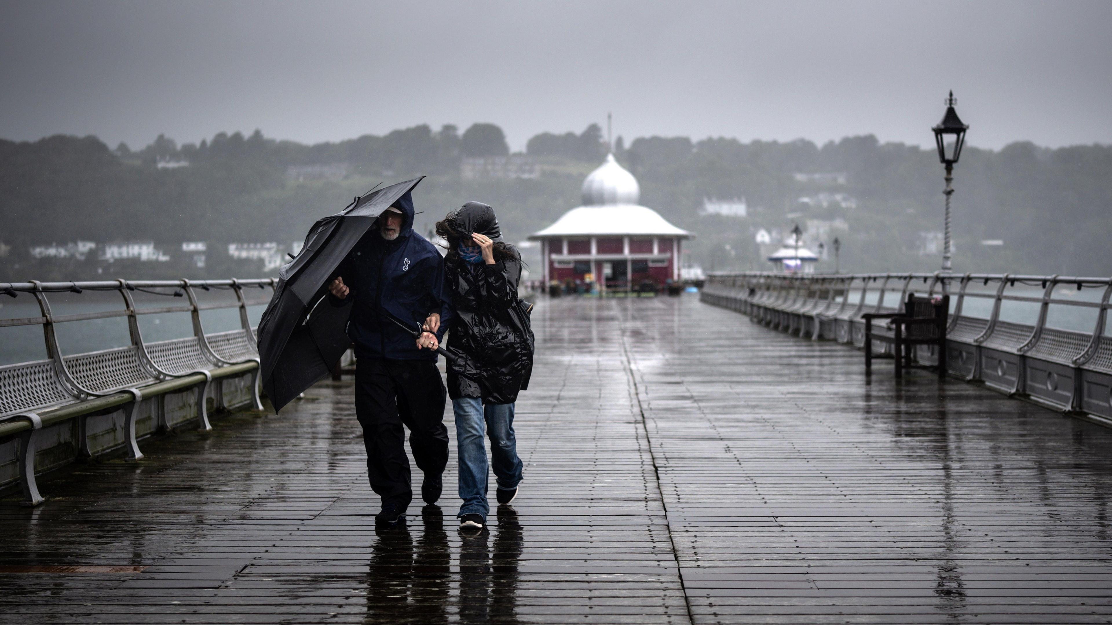
Officials warned of power cuts, flooding and travel disruptions.
East Sussex, West Sussex and parts of southern Surrey would be affected, the Met Office said.
“Much of the warning area is likely to see 20mm to 30mm fall over nine to 12 hours, though some places may see 50mm to 80 mm,” a spokesman said.
“Some counties in southern and central England have already had more than 250% of their average September rainfall, with the month’s full provisional statistics to be released on 1 October.”

The Met Office has issued warning for rain between 16:00 on Sunday to 09:00 on Monday
Gusts of 50mph to 55mph are likely within the yellow warning area, and up to 60mph is possible in the most exposed coasts and areas of higher ground.
Flooding to homes and businesses is likely, while some interruption to power supplies and other services is possible, the spokesman adds.
Bus and train services are likely to also be affected.
The Met Office spokesman added: “After further rain on Monday, which could extend into Tuesday in some eastern and southeastern areas, it should become somewhat drier and brighter more widely around midweek.
“However, there are signals for the potential of further wet and windy weather towards the end of next week.”
Follow BBC Surrey on Facebook, external and X, external. Send your story ideas to southeasttoday@bbc.co.uk , external or WhatsApp us on 08081 002250.
Related topics
- Published27 September 2024

- Attribution
- Published29 September 2024