Storm Lilian dampens bank holiday weekend

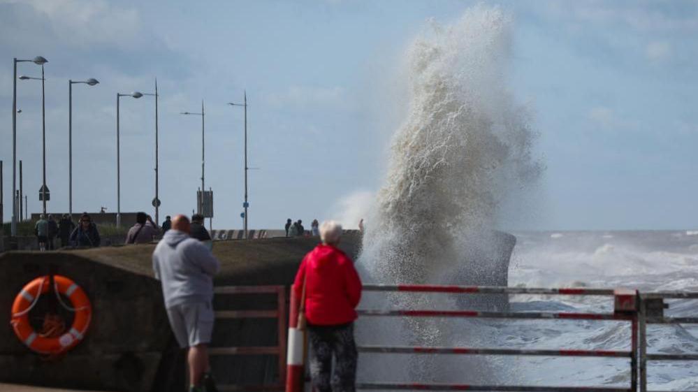
High winds battered the North West coast on Friday afternoon
- Published
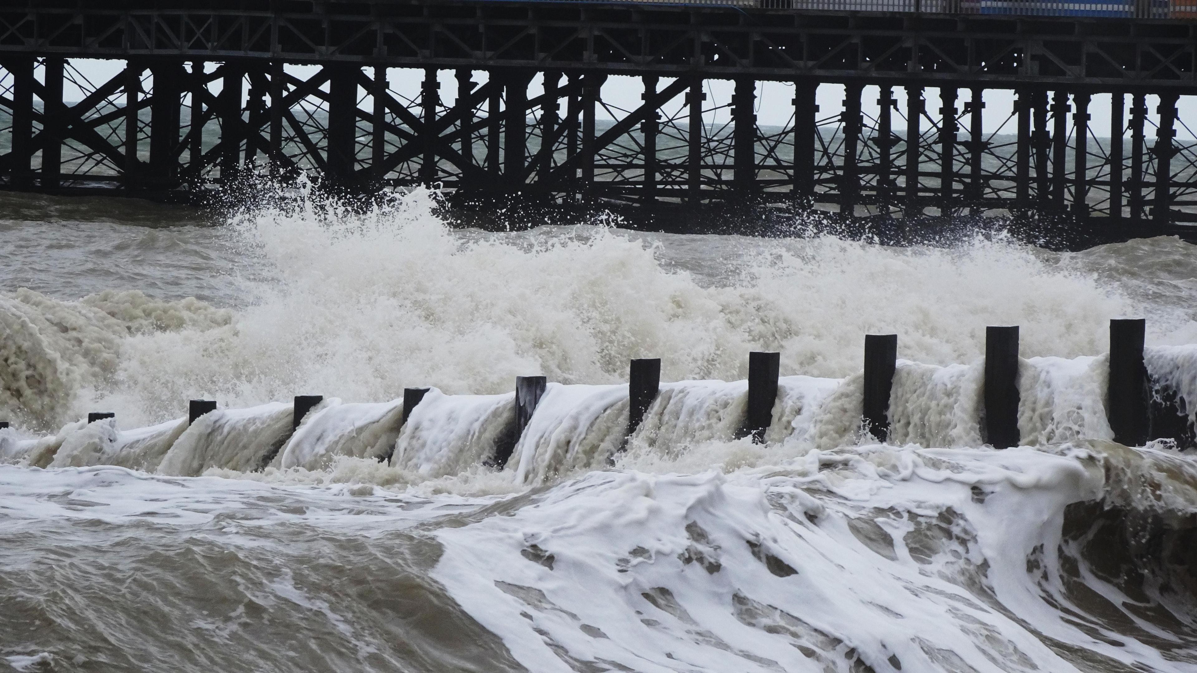
Up to 70mm of rain could drench parts of the UK on Saturday with a yellow weather warning issued for the south-east of England, following widespread disruption caused by Storm Lilian.
The warning will be in place from 06:00 to 13:00 and will span Portsmouth, Hampshire and parts of Suffolk including Ipswich.
"With that yellow warning, expect some small travel disruption," Liam Eslick of the Met Office told PA Media.
"I know it's the start of the bank holiday so people may be out and about trying to get to their holiday destinations."
Storm Lilian brought travel disruption to parts of the UK on Friday, with more strong winds and rain forecast for Saturday.
The heaviest of the rain is expected to move away around mid-afternoon on Saturday, but showers will linger around central and south east England, and western Scotland.
Powerful gusts forced the organisers of Leeds Festival to close three stages on Friday and entry into Creamfields music festival in Cheshire was also delayed.
Downed energy lines led to tens of thousands experiencing power cuts.
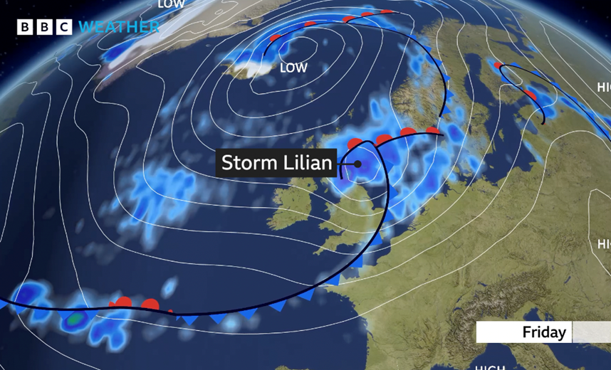
Storm Lilian brought 70mph winds to the north west of England and Wales early on Friday, before moving eastwards.
Gusts of 50-60mph were recorded widely on Friday and winds reached 72mph at Capel Curig in Wales.
'Tents in the sky'
Festivalgoers hoping for an early start in Leeds had their plans disrupted when organisers said they would delay opening the site's main arena.
The BBC Radio 1, Chevron and Aux were closed due to high winds. It is hoped the Chevron will open on Saturday at midday but the Radio 1 and Aux stages will remain closed throughout the weekend, said organisers.
Attendees were advised to stay in their tents and cars until it was safe enough to venture out amid 60mph winds.
University student Carrie Gill, 19, said the weather had made the experience the "worst day ever".
Tent takes flight at Leeds festival
She said she had seen "people's tents in the sky", adding that her own had flooded with rainwater and had to be replaced.
Tegan Mcivor told the BBC how she and her partner became a "bit lost" on the way to the festival after road signs were knocked over by the wind.
"I’m pregnant and I’m hoping the wind doesn’t blow the tent away," she added.
With the weather improving at the site and across much of northern England as Friday progressed, festivalgoers were heard sharing tips on repairing damaged tents as the first acts took to the main stage.

This felled tree was left resting on a house in Bury
Northern Powergrid - which supplies electricity to the north east of England, Yorkshire and northern Lincolnshire - said 36,000 people were without power on Friday afternoon.
Electricity North West said engineers had restored power to almost 15,000 homes in north-west England, and were working to restore power in 3,000 more.
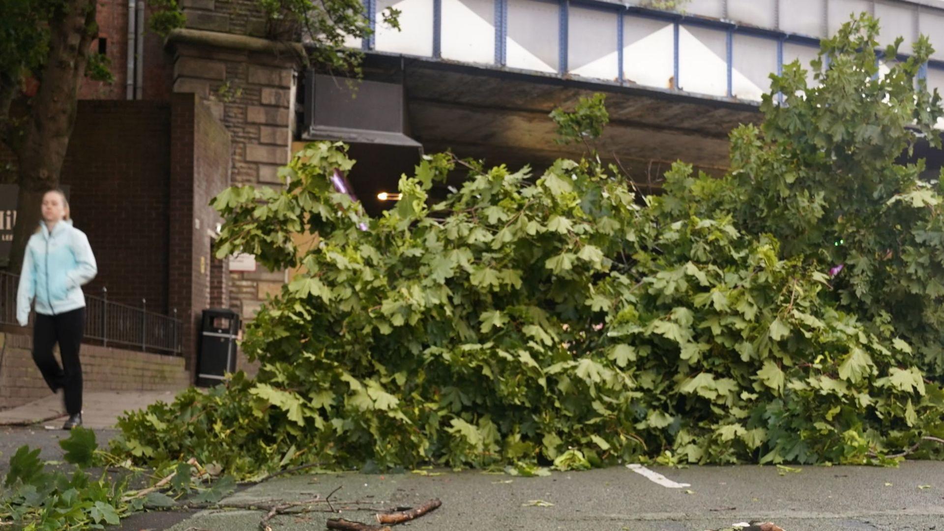
National Rail reported disruption on Friday caused by trees blocking lines in several parts of the country. It later said many services had returned to normal.
Metrolink tram services in Greater Manchester were also suspended on some routes.
British Airways cancelled 14 flights scheduled to take off from Heathrow on Friday morning and delayed others due to strong winds.
The M48 Severn Bridge in Gloucestershire was temporarily closed, while motorists were told to expect disruption on the M6 motorway, A66 and A1.
From Sunday, conditions are expected to ease, although rain is forecast in the east, northern England and southern Scotland.
Winds will ramp up and it will be blustery for much of the UK.
But the bank holiday weekend will not be a complete wash-out, Mr Eslick said.
"Monday looks like the best of the days," he said.
"There will be more in the way of some sunshine and winds are expected to ease.
"It will be a lot calmer coming into the Bank Holiday Monday and it will be nice to have that extra day this weekend to enjoy."
Why is it so windy in the UK?
By Simon King, BBC Weather

Lilian is the twelfth named storm of the current 12-month cycle, which ends in September.
It is the first time there have been that many named storms in a single cycle since the system was introduced by the Met Office in 2015.
While there were two named storms last August, Storm Lilian is more typical of an autumn storm.
Lilian is a deep area of low pressure which formed quite rapidly on Thursday night.
In meteorology, low pressure systems are the ones that give us the wet and windy weather.
The lower the pressure, the larger the pressure gradient is around its centre, which in turn creates strong winds.
These areas of low pressure have been directed to us by a fast wind high in the atmosphere flowing across the Atlantic.
Over the last few days, the jet stream has been particularly active, bringing the remnants of ex-hurricane Ernesto to our shores as well as creating Storm Lilian.
Get in touch
Are you affected by the storm?
- Attribution
- Published22 August 2024

