Roads and train lines flooded after more downpours

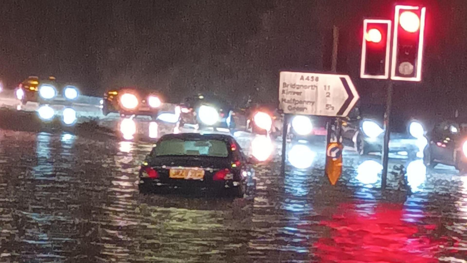
A car was left stranded on the A449 in Stourbridge after heavy rain on Thursday evening
- Published
Parts of England have been hit by travel disruption after a night of heavy rain and flash flooding.
A section of the M5 near Bristol is flooded and has been closed after motorists needed to be rescued from their cars, and there is rail disruption in parts of the Midlands and southern England.
Several flood warnings are in place due to rising river levels after days of heavy rain across the country.
As of 06:00 BST, the Environment Agency had 66 flood warnings, external in place across England, meaning flooding was expected, and 118 less severe flood alerts.
All Met Office weather warnings have now expired but localised disruption is expected to impact some areas throughout Friday morning.
The M5 is closed between junctions 14 and 16. Avon Fire and Rescue service said it was working with with National Highways to rescue people stranded in their cars after it was inundated by rainwater.
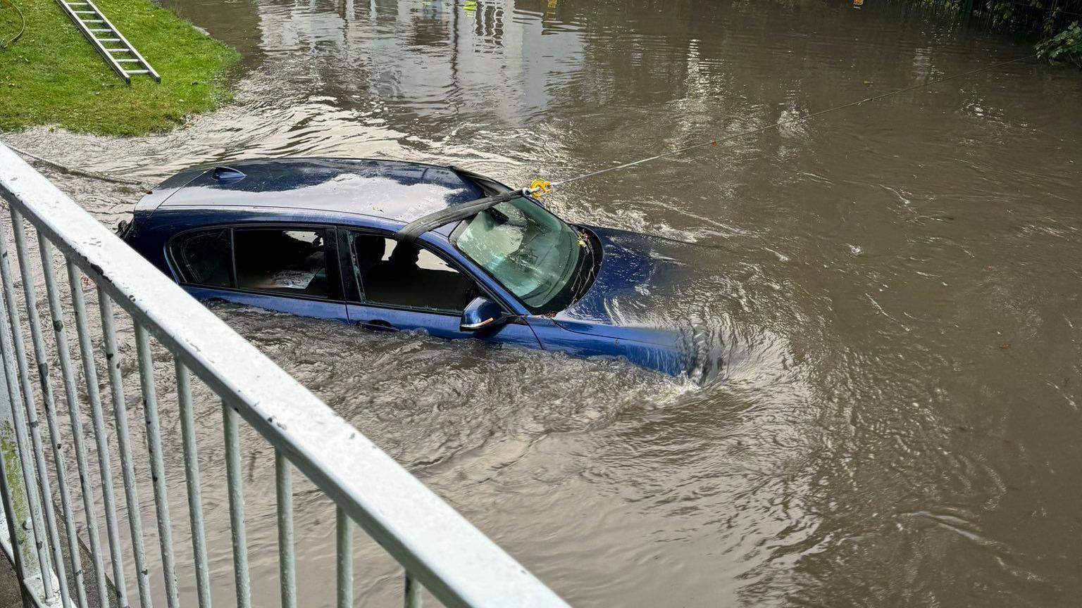
In Birmingham, a man had to be rescued by police when his car became submerged in flood water on Thursday evening and a car became stranded in nearby Stourbridge.

A driver had to be rescued from his BMW after it became submerged up to its bonnet in Hall Green, on Thursday evening
In Oxfordshire, flooding left roads submerged and blocked rail lines running between Bicester North and Banbury.
Journeys between Shrewsbury and Wolverhampton have been affected by flooding at Wellington in Shropshire.
In Bedfordshire, there is concern the River Great Ouse could burst its banks at Kempston and a school has been closed due to staff and students not being able to travel.
In Gloucestershire, Tewkesbury Borough Council has been handing out sandbags to residents to protect their homes against flooding.
Councils in Northamptonshire and Hertfordshire confirmed a number of road closures and sought to reassure residents they were working to keep people safe overnight.

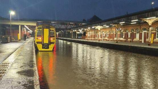
Wellington station in Shropshire was flooded overnight
Areas in the north of England have seen the most rain, with with Flyingdales, North Yorkshire seeing one months' worth of rain (81mm) in two days.
The rainfall over the last few days adds to what has been an incredibly wet September for some in southern England.
In Woburn, Bedfordshire, there has been four times as much rainfall than is usual at the time of year, making this September the wettest month ever recorded in the town.
Many other locations in Oxfordshire, Hampshire and Herefordshire have had three times their monthly rain in the last few days.
More flooding is possible on Friday as rivers will continue to rise after the rain clears.
National Highways network manager Stephen Basterfield said people expecting to travel by car should "adjust their driving behaviour and take extra care".
Some areas which were forecast for the heaviest rain overnight had already experienced record September rainfall this month.
Parts of Bedfordshire and Oxfordshire, in particular, have seen over three times their normal September rainfall.
Rain is expected to clear later on Friday and the forecast is drier for the weekend, with some less severe rain expected.
Temperatures are expected to drop across the country. BBC Weather is monitoring the prospect of more wet and windy weather arriving later on Sunday and into Monday.