Weather warning as heavy rain forecast

Disruption to transport is likely in areas affected by very heavy showers
- Published
People are being warned of potential disruption due to heavy rain, with up to 70mm falling in some places.
The Met Office issued a yellow weather warning for rain, external across the East of England between 22:00 BST on Thursday and 12:00 on Friday.
The weather system is expected to push eastwards after arriving in southern Wales and England, affecting parts of Buckinghamshire, Hertfordshire, Essex and Suffolk.
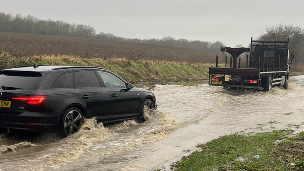
Residents and businesses were advised to check whether their properties could be at risk of flooding and to prepare accordingly.

Heavy rain is expected to clear into the North Sea by Friday afternoon
The national forecaster said some flooding was possible in wetter areas, especially near the coast.
"Whilst not everywhere will see the heavy showers or rain, where they do occur 10-20mm of rain in less than an hour is possible," it said.
"50-70 mm of rain is possible in a few hours where heavy showers become more prolonged, this most likely near coasts."
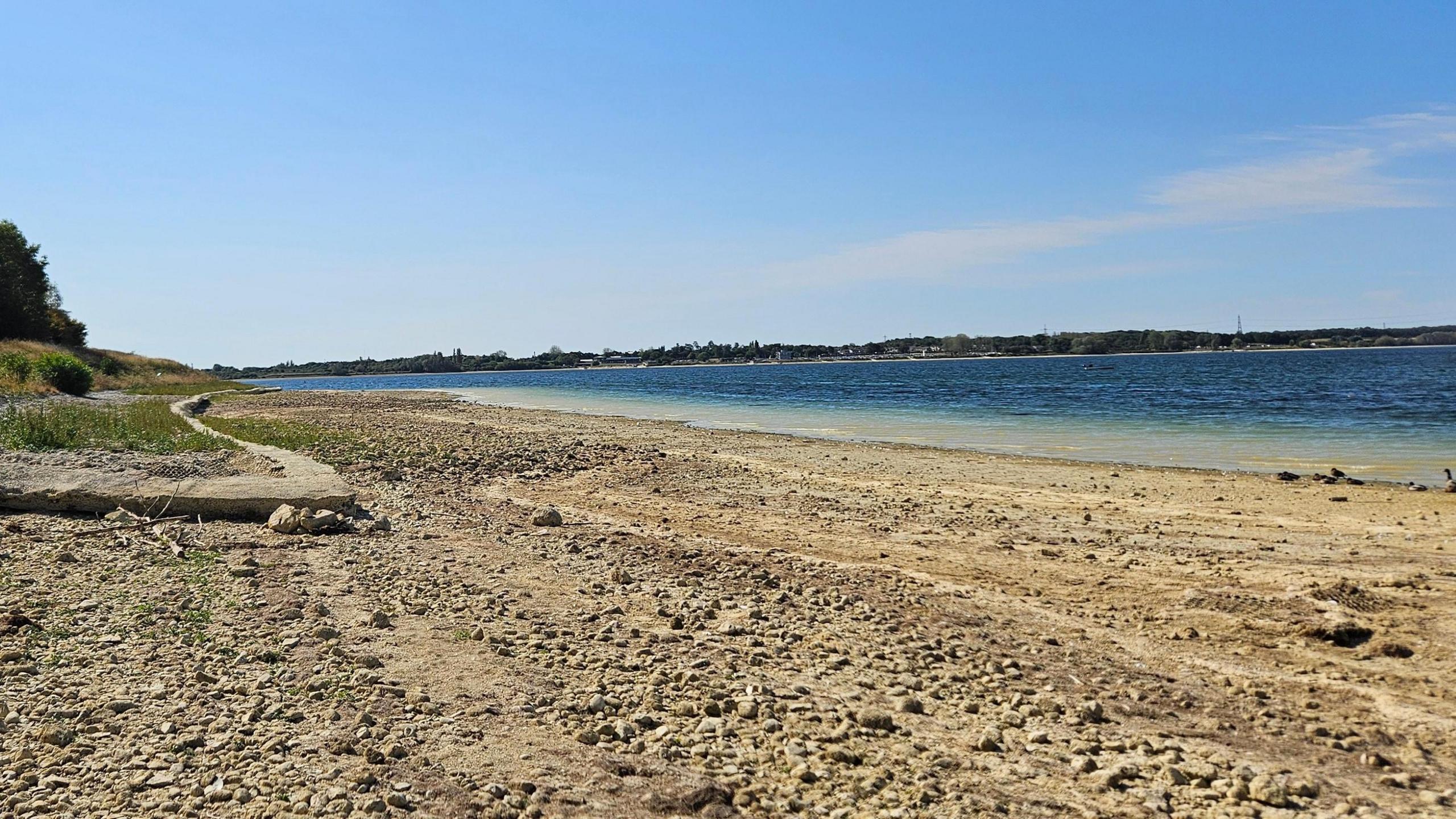
The warning comes as the East of England had its driest spring and summer since 1976, with exceptionally low rainfall.
Dried-out soil is less likely to absorb heavy rain, which means a greater risk of flash flooding.
The Met Office said that transport and infrastructure could be disrupted, and advised people to allow extra time for journeys, whether by public transport or car.
Get in touch
Do you have a story suggestion for the East of England?
Follow East of England news on X, external, Instagram, external and Facebook: BBC Beds, Herts & Bucks, external, BBC Cambridgeshire, external, BBC Essex, external, BBC Norfolk, external, BBC Northamptonshire, external or BBC Suffolk, external.
Related topics
- Published26 August
- Attribution
- Published19 August
- Published2 January 2024