Pictures show high tides at Norfolk and Suffolk coast after storm

Strong winds brought rough waves to Gorleston-on-Sea in Norfolk
- Published
Storm Amy has brought particularly high tides to coastal areas in Norfolk and Suffolk.
Pictures from above show the high tide at Great Yarmouth, where the water level reached 2.59m on Sunday morning.
On Saturday, the Environment Agency (EA) had warned that flooding to businesses and homes was likely along the River Waveney, the River Yare and at Southwold.
Meanwhile, there were reports of trees falling on roads in the region, including in Norfolk and Essex.

High tide reached 2.59m at the River Yare in Great Yarmouth, shown here beside the Asda supermarket at Runham
On Saturday, the EA warned that flooding was possible along the the River Yare between Norwich and Great Yarmouth for 24 hours from 05:45 BST. Areas most at risk included Cantley, Ferry Road at Reedham, the A47 and the railway line between Reedham and Brundall.
Similar warnings were issued for the River Waveney near Lowestoft, the coast at Southwold and for the A12 at Bluthburgh.
However, all those warnings had been lifted by 15:33.

The flooding meant an underpass in Great Yarmouth was off limits

The water level was higher than normal at Haven Bridge in Great Yarmouth
At about 16:45 on Saturday, Norfolk Police said drivers could not access Park Road or Stanley Road at Diss - part of the A1066 - because of a fallen tree.
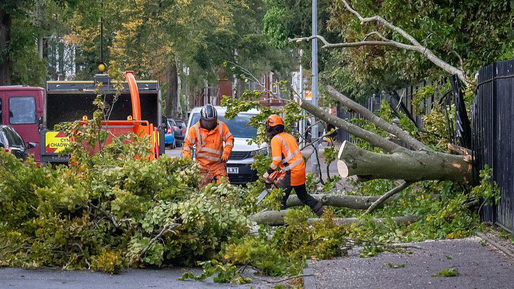
A large collapsed tree was also blocking St Peter's Road in Coggeshall, near Braintree in Essex.
Storm Amy brought wind speeds of up to 55mph (89km/h) to much of the UK and has knocked out power for many homes.

St Peter's Road is a residential street near the centre of Coggeshall village in north Essex

High tide at Cromer in Norfolk was 4.76m on Sunday evening
Get in touch
Do you have a story suggestion for Suffolk?
Follow Suffolk news on BBC Sounds, Facebook, external, Instagram, external and X, external.
Related topics
- Published4 October