Met Office severe weather warning for South East

A rain warning across the south-east of England has been issued by the Met Office
- Published
Met Office yellow severe weather warnings have been issued for the South East.
The alerts warn of heavy rain between 21:00 BST on Wednesday and 23:59 on Friday.
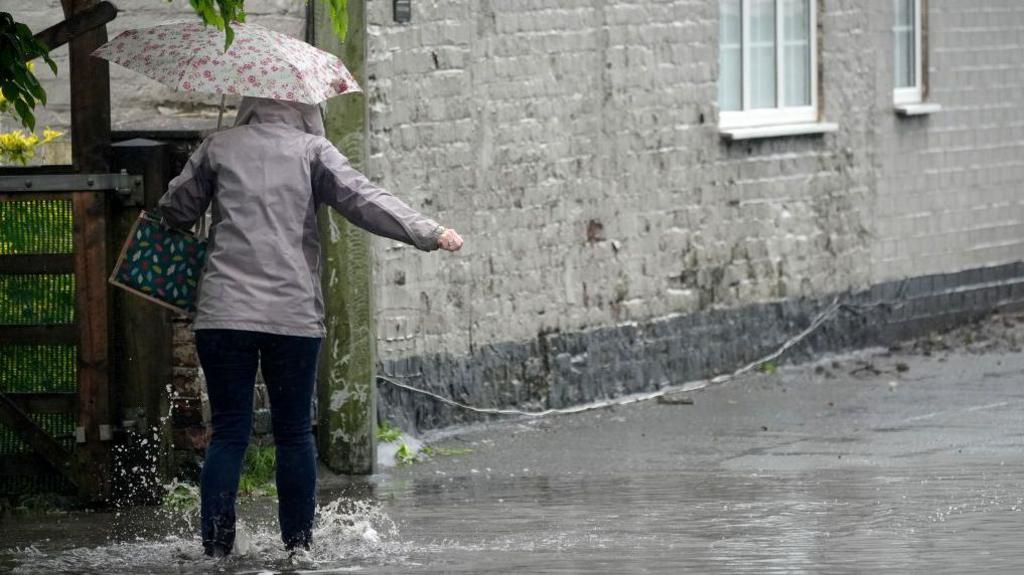
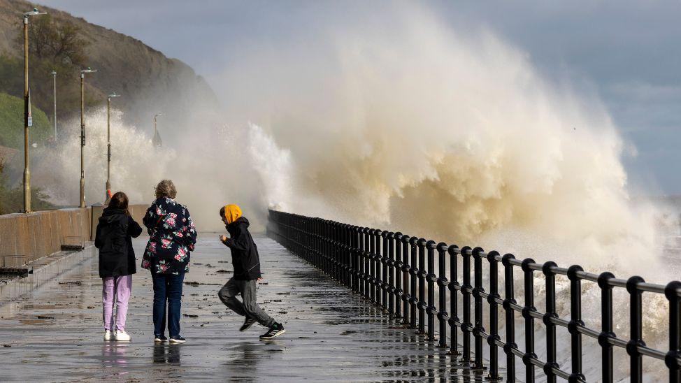
Officials warned that flooding, transport disruption and power cuts were possible.
Kent, East Sussex, West Sussex and Surrey would be affected, the Met Office said.
Forecasters say some parts will miss the worst weather, but scattered heavy showers on Wednesday night are expected to merge into longer spells of heavy or thundery rain overnight and into Thursday.
With up to 100mm (4in) of rain expected in some of the wettest areas, it would be well above the whole of September's average rainfall.
Commuters and motorists are warned to expect spray and sudden flooding, leading to difficult driving conditions and some road closures.
Officials also warned that there was a small chance of damage to buildings, while delays to train and bus services were possible.
'Heavy downpours'
Met Office meteorologist Alex Deakin said the UK was experiencing a closed low-pressure system called a “cut-off low” - also known as a “weatherman’s woe” - as the weather becomes more difficult to predict in detail.
He said: “Some heavy downpours are possible.
"We’ve got that warning out for Wednesday night into Thursday, but even after that we’re going to see further pulses of heavy rain.
“Generally across the south, it does look pretty wet as we go through this weekend into the early part of next week.”
Follow BBC Sussex on Facebook, external, on X, external, and on Instagram, external. Send your story ideas to southeasttoday@bbc.co.uk, external or WhatsApp us on 08081 002250.
Related topics
Related internet links
- Attribution
- Published5 September 2024
- Published3 September 2024
- Attribution
- Published30 August 2024