Major milestone for coastal path project

The King Charles III Coast Path will be more than 2,700 miles long when it is fully completed
- Published
The latest stretch of the King Charles III England Coast Path will officially open later marking the completion of the North East section of the route.
Stretching 397 miles (634km) the path runs from the Scottish border to Gibraltar point in Lincolnshire.
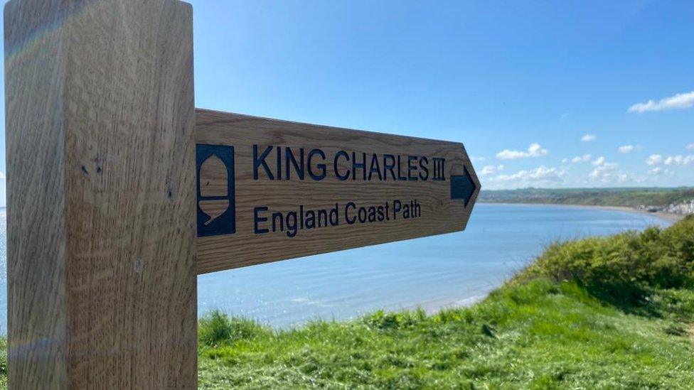
The final section of the route, which will be unveiled by officials, starts at Easington and ends in Bridlington.
According to Natural England, it will be the longest managed coastal path in the world when the entire 2,700 mile (4,345km) coast path is completed.

The opening of the Easington to Bridlington path marks the completion of the North East section of the route
The latest part of the route, which runs for 42 miles (68km), starts at Easington before passing a gas terminal, clay cliffs and beaches.
After passing through Withernsea, the path runs past the former RAF Cowden site, through Hornsea and up the Holderness coast to Bridlington before it finishes to the north of the town.
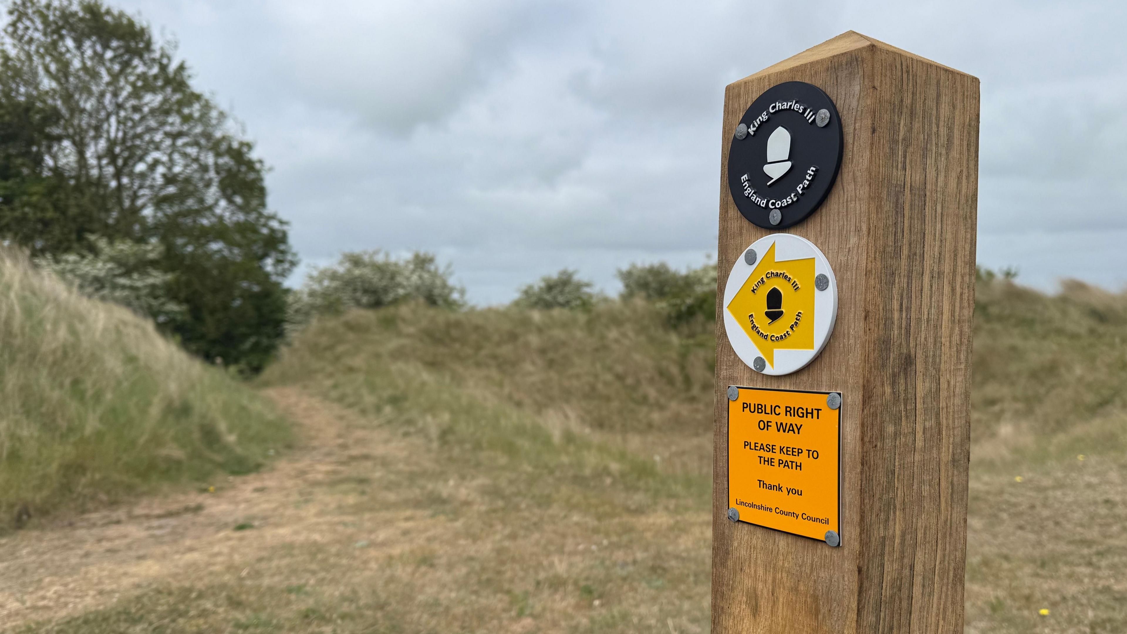
In addition to the walkway, new fencing, signage and information boards have also been added.
Listen to highlights from Hull and East Yorkshire on BBC Sounds, watch the latest episode of Look North or tell us about a story you think we should be covering here, external.
Download the BBC News app from the App Store, external for iPhone and iPad or Google Play, external for Android devices
Related topics
- Published15 May
- Published10 May 2023