How a 'forgotten' river shaped Nottingham

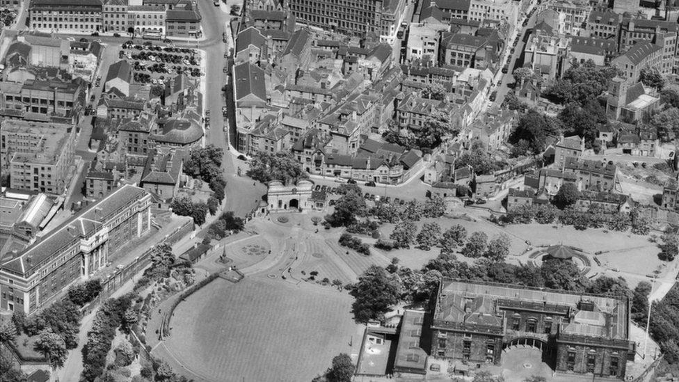
The modern infrastructure surrounding the River Leen was shaped by the response to floods in 1947
- Published
Throughout history, the River Leen has kept villages watered, supported industrialisation, shaped political boundaries and caused devastating floods.
However, despite being "incredibly important" to modern Nottingham, researchers say the 15-mile waterway is often overshadowed by its much larger neighbour the River Trent.
The River Leen runs from Newstead Abbey, through Papplewick and Linby, then into the city through Bulwell, Basford, and Lenton before it joins the River Trent.
Dr Rachel Dishington and Dr David Beckingham from the University of Nottingham, who have set up an exhibition on the river, say they believe the Leen should receive more recognition and appreciation.
"We're not saying in any way shape or form that the Trent isn't important to the story of Nottingham... but we share the Trent," Dr Beckingham said.
"What's interesting about the Leen is it is truly Nottinghamshire's river. We want people to understand that this river is tied to the history of Nottingham, and managing this river will unlock the future of Nottingham as well."

The river can be seen running alongside tracks for Nottingham's current tram network
The first recorded historical mention of the River Leen was in the Domesday book in 1086 due to the corn mills along its banks, which was the starting point of Dr Beckingham and Dr Dishington's research.
"The Leen has a much older relationship and tie to geology, but the oldest records that we've seen are nearly a thousand years old," Dr Beckingham said.
"It's kind of mind-blowing when you get to hold those things in your hand... people are recording things like fields, old systems and management, they're fantastic 'way back' machines."

Many areas around the River Leen (centre) are still industrial to this day
However, the advent of industrialisation in the 18th Century meant that the River Leen would provide Nottingham with both tremendous opportunities and problems.
The banks of the river became home to factories and Dr Beckingham said it was provided an attractive opportunity for those leading new industries.
"For much of this period, Nottingham is really quite small, so there's a sort of competition for space that encourages people to look a bit further west," he said.
The competition for space, led industrialists to move into Basford and Bulwell, which are today a part of Nottingham, but were then separate villages.
"That's one part of the story, and the other is just the Leen water serving as a source of power," Dr Beckingham said.

Gerard's Soap Works was a notable example of an industry which used the River Leen
There was one major drawback brought on by the "unplanned urban growth" though, which Dr Beckingham could describe with one word - sewage.
"All of that industry and growth that made Nottingham incredibly famous put real pressure on this small river," he added.
"People were depositing things like sewage and waste water, and all of that was trickling downstream into the city.
"You would see the people of Lenton merrily empty their sewers into the river... and the authorities were worried because they had no control over that," Dr Beckingham said.

There were less polluting uses of the River Leen, the researchers said, including for leisure
Dr Beckingham added the mess flowing into the city led to an early form of local government reorganisation to expand Nottingham's boundary, to incorporate villages upstream, which was completed with an Act of Parliament in 1877.
A year later, in 1878, the Corporation of Nottingham leased 638 acres of land at Stoke Bardolph to build sewage works, which still exist today, managed by Severn Trent Water.
"So that infrastructure which is still managing water for us in Nottingham today is very much a product of those historical episodes," Dr Beckingham said.

Flooding in 1947 caused widespread damage in Nottingham

Dr Rachel Dishington said the river's location in Nottingham put many areas at risk of flooding
By the 1940s the risk of floods to homes and businesses along the length of the river had become a hot topic.
Around 3,000 homes and factories from the Meadows to Basford were deluged in 1947, which led to the creation of the River Leen Improvement Scheme in the 1960s.
"That was a kind of catalyst for an already existing process of thinking about how we deal with flood risk on the Leen," Dr Dishington said.
"It was an incredibly ambitious project for basically moving water through Nottingham as quickly as possible to reduce the risk of flooding, and it covered the entire length of the River Leen."

The Trent Catchment Board modelled the flooding on the River Leen in an effort to find out how to prevent it in future
The cost of the River Leen improvement scheme was estimated to cost £988,000 in 1961, but the final cost was £1,800,000 by the time the work was completed in 1973.
"A lot of what they ended up doing was things like culverting, so using concrete channels as a way of basically fitting the River Leen around other kinds of infrastructure," Dr Dishington said.
She added the work took more than 10 years and disrupted many local businesses.
"We've got a lot of notes about that at our exhibition, and particularly there's one about Queen Elizabeth visiting which is quite interesting," she added.
"She was visiting the Raleigh site, and the note says 'While the Queen is visiting can we keep the building work quiet?'"

Dr Dishington said river culverts can be clearly seen in the Derby Road area
Dr Dishington said: "I think the improvement scheme specifically is quite inspiring because it was an ambitious project.
"It was people who really cared about the environment of Nottingham, really cared about the river, and who put a lot of work, money and effort into making that river do exactly what they wanted it to do."
She added the infrastructure built as part of the 1960s improvement scheme remains visible in Nottingham today.
"So New Road Bridge is one example, and you can also see the culverts, notably in the Derby Road area," she said.

The New Road Bridge was built as part of the 1960s flood scheme, the researchers said
"This story is incredibly important to the modern shape of Nottingham, and I think there's a really exciting opportunity for communities to come and think about the future," Dr Beckingham said.
He pointed out that a lot of the river is covered by concrete and obscured from view.
"We know living by water is good for our health, but if you can't see the river you can't enjoy it," he said.
"There is also the health of the river itself and clearly if you've got infrastructural barriers in the river they're not necessarily working ecologically as one might wish."

The exhibition room has dim lights to protect sensitive historical papers
"As people who work on the past, often we're doing that for its own sake, and I'll celebrate that.
"But when you look closer you discover very often historical work is telling you something about ourselves, the people, or the places that we've become," he said.
Meanwhile, Dr Dishington said it was necessary to know how the river served the past if we were to imagine how it could serve the future.
"I think it's important when we're thinking about the future to think about the significance of that river to the people of Nottingham and Nottinghamshire."
Their research, supported by the University of Nottingham's Manuscripts and Special Collections department, is currently on display at the Weston Gallery in Lakeside Arts, Nottingham.
The exhibition will run until 15 March 2026.
Get in touch
Tell us which stories we should cover in Nottingham
Follow BBC Nottingham on Facebook, external, on X, external, or on Instagram, external. Send your story ideas to eastmidsnews@bbc.co.uk, external or via WhatsApp, external on 0808 100 2210.
Related topics
- Published27 April 2024

- Published26 March 2022