'Threat to life' as red warnings issued in Republic of Ireland

Red warnings for wind have been issued for all 26 counties in the Republic of Ireland
- Published
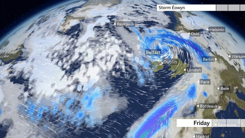
A red wind warning has been issued for the whole of the Republic of Ireland, with Met Éireann warning of a possible "danger to life".
The alert comes into effect at varying times from 02:00 on Friday and will end at varying times.
Met Éireann has warned that "severe, damaging and destructive winds" are expected, with gusts of up to 130km/h.
Speaking to RTÉ, external the chair of the National Emergency Co-ordination Group has said Storm Éowyn will "probably be among the severest storms that Ireland has ever seen".
Additionally, the Met Office has issued an amber wind warning for Northern Ireland.
Keith Leonard said the storm would result in very difficult conditions for everybody and cause serious disruption to transport and significant power outages.
He said it was likely that the number of people who would lose power will top the 385,000 figure from Storm Ophelia in 2017.
Mr Leonard added that those under the red advisory should shelter until the warning is lifted.
However, difficult conditions will remain he said, saying it is expected there will be debris on roads and trees down.
Allow X content?
This article contains content provided by X. We ask for your permission before anything is loaded, as they may be using cookies and other technologies. You may want to read X’s cookie policy, external and privacy policy, external before accepting. To view this content choose ‘accept and continue’.
Carlow, Kilkenny, Wexford, Cork, Kerry, Limerick and Waterford are under the warning from 02:00 on Friday until 10:00 that morning.
An hour later, the alert will come into effect for Clare and Galway until 11:00.
Then at 04:00, it is valid for counties Leitrim, Mayo and Sligo until midday.
At 06:00 a cluster of counties will be covered until 11:00, including Cavan, Monaghan, Dublin, Kildare, Laois, Longford, Louth, Meath, Offaly, Westmeath, Wicklow, Roscommon and Tipperary.
From 07:00 until 14:00 , the red weather warning for wind is valid for Donegal.
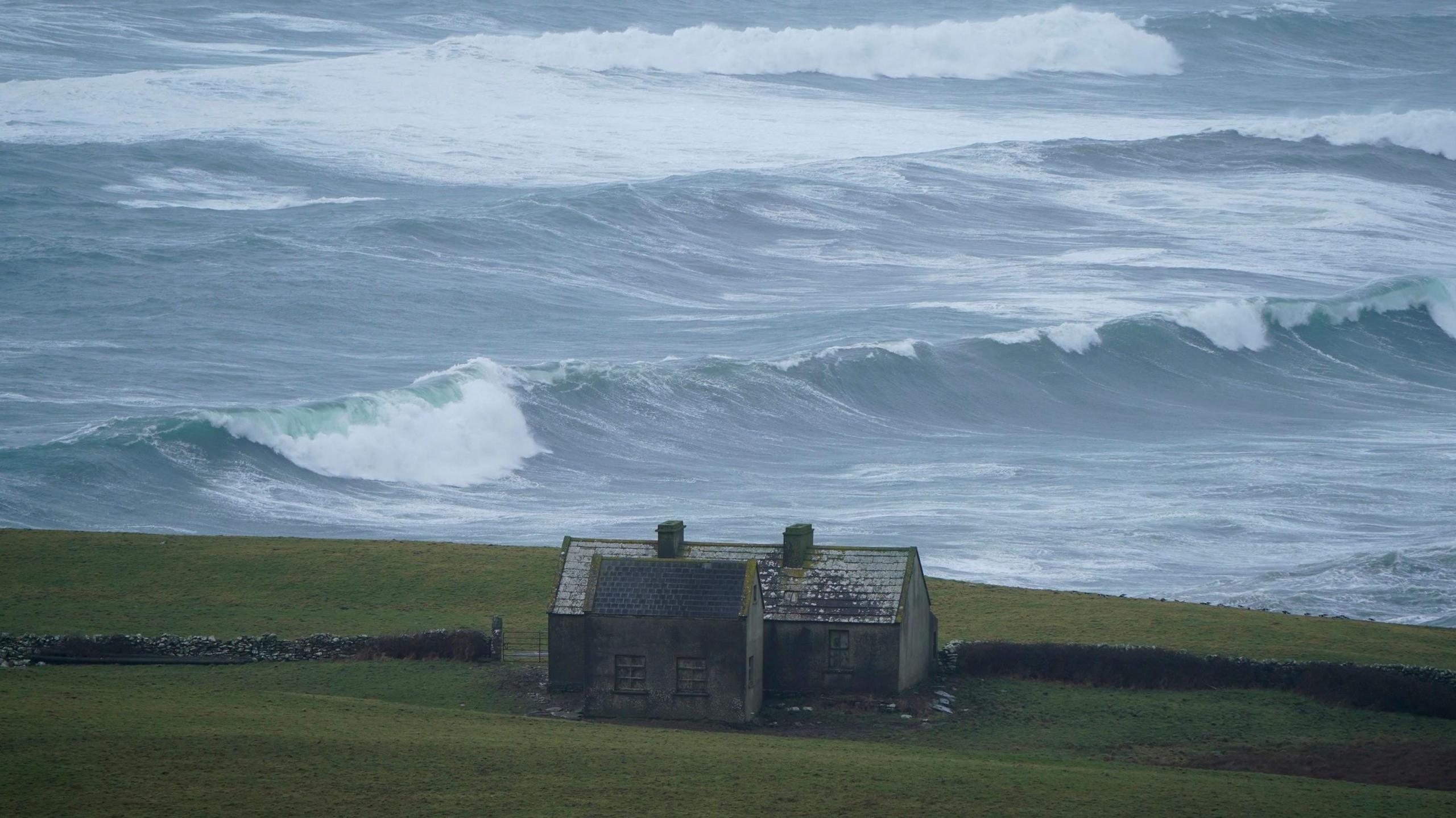
Wave overtopping and coastal flooding is possible in low lying and exposed areas.
A yellow rain warning is due to come into effect for Cork, Kerry and Waterford from 21:00 on Thursday until 03:00 on Friday.
Strongest winds in more than 60 years
These wind speeds could be the strongest experienced here since Storm Debbie in 1961.
The National Emergency Co-ordination Group said schools, early learning and childcare settings and further and higher education institutions in red level warning areas will close for the duration of the red warning.
The group said employers in red warning areas should facilitate working from home for all employees who can do so. Only emergency service workers should be leaving home for work, where directed by their employer, it said.
Widespread disruption to public and other services is to be anticipated.

Northern Ireland weather warnings
In Northern Ireland the storm is expected to bring possible damage and disruption to parts of the UK.
A Met Office yellow warning for wind lasts from midnight on Thursday until midnight on Friday as the storm moves across the region, although there is still some uncertainty on how it will track.
Wind gusts between 50-60mph (80-100km/h) are expected inland, with stronger winds for coastal and exposed areas.
Allow X content?
This article contains content provided by X. We ask for your permission before anything is loaded, as they may be using cookies and other technologies. You may want to read X’s cookie policy, external and privacy policy, external before accepting. To view this content choose ‘accept and continue’.
The yellow warning will be upgraded to amber - the second highest level - from 06:00 GMT on Friday until 21:00.
The strong winds could lead to power cuts, travel disruption, damage to buildings and infrastructure, and injuries due to flying debris and large coastal waves.
During this time, wind gusts up to 70mph (115km/h) are expected quite widely inland, and up to 80mph (130km/h) in some areas.
Exposed coasts and hills could record gusts up to 90mph (145km/h), according to the Met Office.
Storm Éowyn is the fifth named storm of the winter season, and follows Storm Darragh which hit on 5 December 2024.
- Published22 August 2011