Privacy dispute over drone surveys on pylons route

- Published
The use of drones to survey the planned 114-mile (183km) route of new pylons was non-intrusive and helped to minimise disruption to local people, National Grid said.
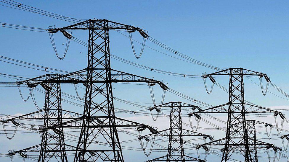
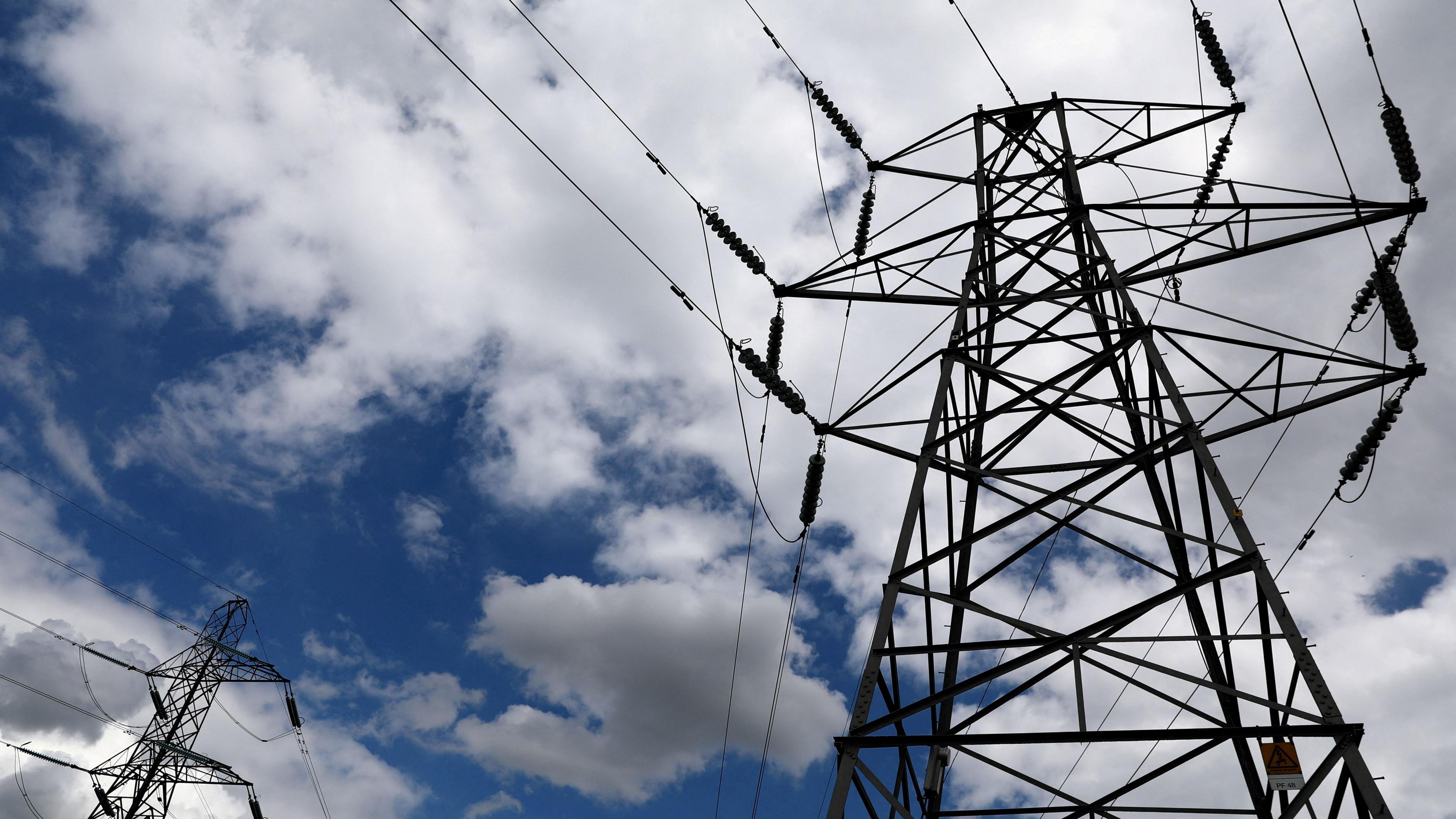
The company has submitted plans to build high-voltage electricity lines through Norfolk, Suffolk and Essex, running from Norwich to Tilbury.
Campaigners against the project said the drone surveys, which began on 17 November, were an invasion of privacy and felt like "spying".
But the company carrying out the work insisted only footage "directly relevant to the route and surrounding landscape" would be captured, with no flights directly over residential properties.

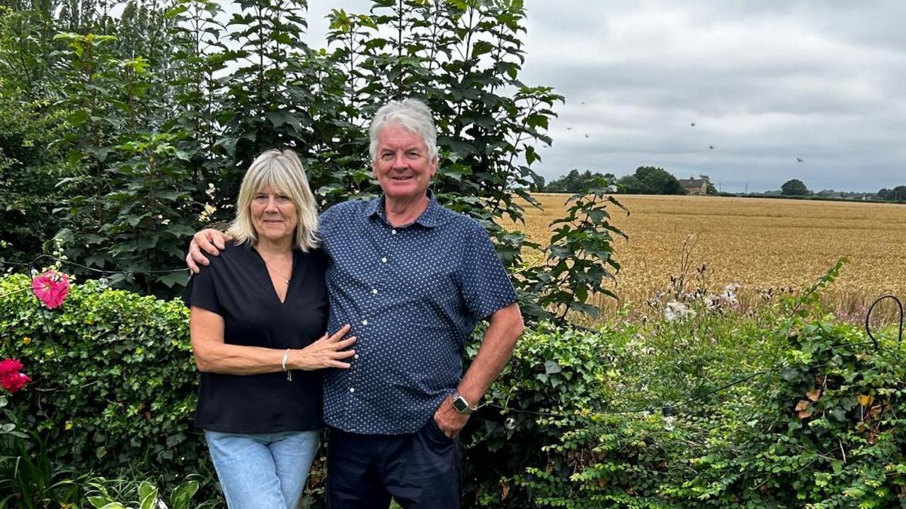
Rosie Pearson, founder of Essex, Suffolk, Norfolk Pylons Action Group, said: "How can it be unobtrusive if you've got something flying over your house, garden or land?
"I think it feels more like spying. It's a direct eye down to your garden."
StirlingX, the company carrying out the drone surveys, said: "They are not equipped or intended to record any personal or property-specific information, and no identifiable individuals will appear in the video."
National Grid senior project surveyor James Magson said: "By using this technology, we can reduce the need for teams to walk the entire route on foot, which helps to minimise disruption for local communities, landowners and the environment."
The company added it had enhanced permissions from the Civil Aviation Authority to record video footage of the route from heights of around 100m (330ft).

StirlingX head of flight operation Rowley Cory-Wright said: "We can fly this route in six days, whereas to walk it would take months.
"We're here to look at the potential construction corridor; not to look at people's properties.
"We're too high up to identify anybody personally."

Rowley Cory-Wright from drone firm StirlingX said they were only interested in capturing pre-construction information
Get in touch
Do you have a story suggestion for the East of England?
Follow Norfolk news on BBC Sounds, Facebook, external, Instagram, external and X, external.
Follow Suffolk news on BBC Sounds, Facebook, external, Instagram, external and X, external.
Follow Essex news on BBC Sounds, Facebook, external, Instagram, external and X, external.
Related topics
- Published26 September
- Published30 August
- Published26 July 2024