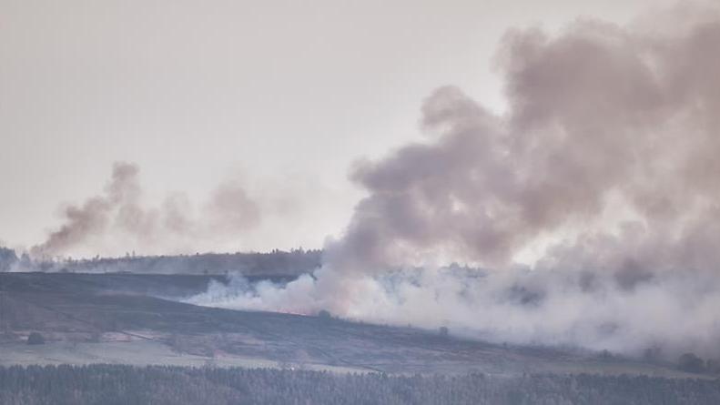
Aerial images show land devastated by wildfire

The fire affected more than 100 acres of land in the Peak District
- Published
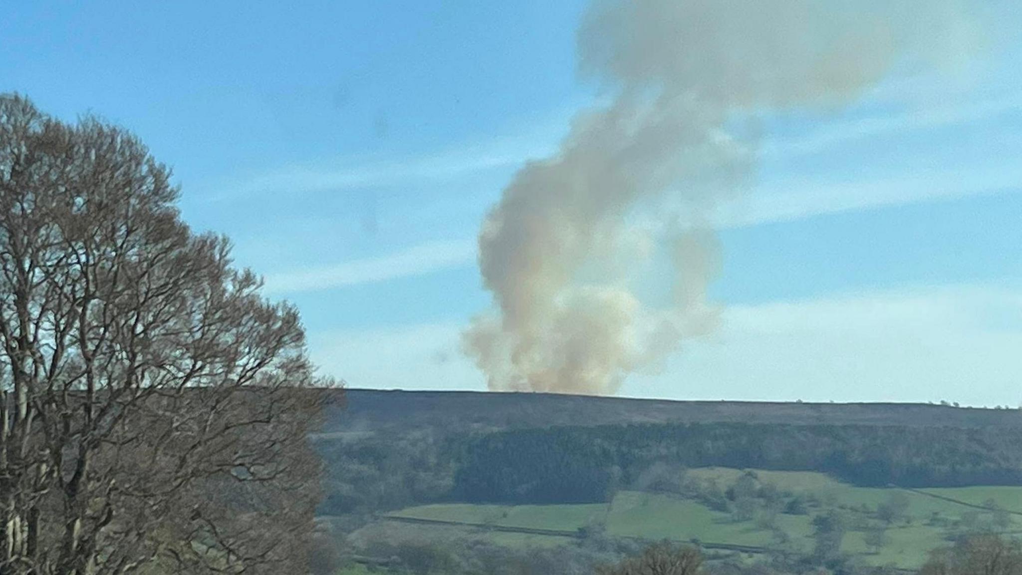
Aerial images have shown the devastation caused by a wildfire in Derbyshire's Peak District.
Eight fire crews were called to Beeley Moor at about 14:40 BST on Tuesday, with the blaze eventually being brought under control at 06:30 on Wednesday.
Derbyshire Fire and Rescue Service said the fire was caused by a controlled burn which was believed to have been affected by strong winds.
The blaze affected 45 hectares (111 acres) of land, a spokesperson for the service added.

A large area of Beeley Moor was damaged in the fire last week
Get in touch
Tell us which stories we should cover in Derby
Follow BBC Derby on Facebook, external, on X, external, or on Instagram, external. Send your story ideas to eastmidsnews@bbc.co.uk, external or via WhatsApp, external on 0808 100 2210.
Related topics
- Published8 April
- Published9 April