Why do people love Ordnance Survey maps?
- Published
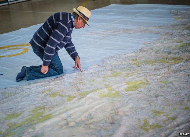
A man looks at a giant Ordnance Survey map of Wales
US-born neuroscientist John O'Keefe has jointly won the 2014 Nobel Prize for medicine for discovering the brain's navigation system. Is it any surprise then that he loves Ordnance Survey maps, writes Luke Jones.
O'Keefe came to the UK from the US in the late 1960s. He was supposed to stay for only two years as part of post-doctoral study. He decided to relocate for good.
The 74-year-old told BBC Radio 4's Today programme that he was "very attracted to many aspects of British culture".
Two aspects that he named were the NHS and the Ordnance Survey map. "I like walking on the weekends and finding my way around," said the professor who found that the brain has an "inner GPS system" in 1971 by discovering nerve cells that help create maps.
Key research that he co-authored in 1971, The Hippocampus As A Cognitive Map,, external references an OS map as a way of explaining spatial behaviour and the brain's internal positioning system.
Most countries have a national mapping agency. But Rob Andrews, from Ordnance Survey, says it is the level of detail which makes them unique. Some 250 surveyors and two planes contribute to the "10,000 changes" made to the database every day. More detail is added and changes in the landscape are accounted for. We constantly have "roads changing, houses popping up and petrol stations being demolished", he says.
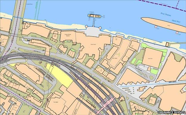
Detail of the London Bridge area
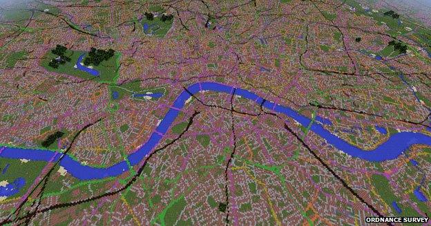
Minecraft map
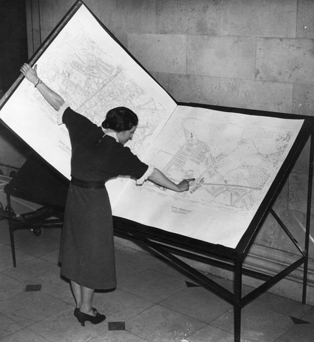
Ordnance Survey map from 1937
Simon Garfield, author of On the Map, agrees with O'Keefe that OS maps are an integral part of British culture.
"Ordnance Survey maps were originally inspired by 18th Century cartography in France," he says. "But they've been associated with sodden walks in the Cairngorms and the Lakeland Fells for so long that they'll always be thought of as British as roast beef and Big Daddy. What else makes them so? Their indefatigable finicky detail and their historic quirkiness. The maps show bracken and drinking fountains, not something you see much of on satnav."
The maps were originally military surveys. Official Superintendent William Mudge expected them to be the "honour of the nation". The first Ordnance Survey map produced was of Kent. They started mapping the South East to help with the defence plans against Napoleonic France. It was quickly picked up as a tool for tourists. A director of the Ordnance Survey complained of the "swarms of idle holiday visitors" who were pestering surveyors for the locations of the most picturesque parts to visit.
Print sales now account for just 7% of revenue. Last year, sales dropped below two million for the first time.
OS maps became available online in 2009, and in September 2013, OS terrain data was made available for users of the online game Minecraft.
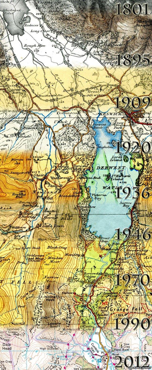
Evolution of the Ordnance Survey map for the Derwent Valley, Lake District
Subscribe to the BBC News Magazine's email newsletter to get articles sent to your inbox.