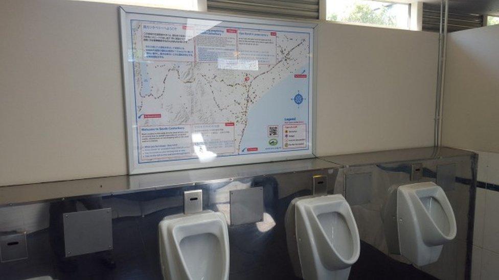
New Zealand toilets feature road crash maps
- Published

It's hoped the maps' message will benefit from a captive audience
Maps showing the sites of traffic collisions are being hung in public toilets in New Zealand as part of a road safety campaign aimed at foreigners.
The maps have been installed above urinals and on cubicle doors in about 60 toilets in the southern region of South Canterbury, the Stuff.co.nz website reports, external. They show the locations of all crashes on the region's roads between 2011 and 2015, along with safety notices and driving tips in five languages, including Chinese, Japanese and Filipino. Among them is a reminder that in New Zealand cars drive on the left-hand side of the road.
Daniel Naude, South Canterbury's road safety co-ordinator, says he was trying to think of ways to get people to stop ignoring road safety messages when he realised that toilets provided a captive audience. He says he hopes the signs will be a good read for "30 seconds when there's nothing to do".
New Zealand has been wrestling with the problem of traffic collisions involving tourists for months. In South Canterbury, about 8% of crashes resulting in injury over the past four years involved overseas drivers, according to NZ Transport Agency statistics. A spate of fatal crashes involving foreign drivers prompted public anger in 2015, and car rental companies have been encouraged to adopt of a code of practice, external giving visitors more information on the rules of the road before they are handed the keys.
Next story: Free Madrid metro passes for transgender people
Use #NewsfromElsewhere to stay up-to-date with our reports via Twitter, external.