Google Maps to start showing eco-friendly routes
- Published
- comments

Google Maps will start directing drivers to routes it calculates to be the most eco-friendly based on a list of factors.
The search engine said it will highlight journeys that generate the lowest carbon footprint using mainly traffic data and road inclines.
Google said the feature would launch first in the US later this year "with a global expansion on the way".
The new feature is part of its commitment to fight climate change.
When launched, the default route on the Google Maps app will be the "eco-friendly" option, unless users choose to opt out of it.
When alternative routes are significantly faster, Google will offer choices and let users compare estimated emissions.
"What we are seeing is for around half of routes, we are able to find an option more eco-friendly with minimal or no time-cost trade-off," Russell Dicker, a director of product at Google said.
The search engine, owned by Alphabet, said it uses emissions data based on testing across different types of cars and road types, drawing on insights from the US government's National Renewable Energy Lab (NREL).
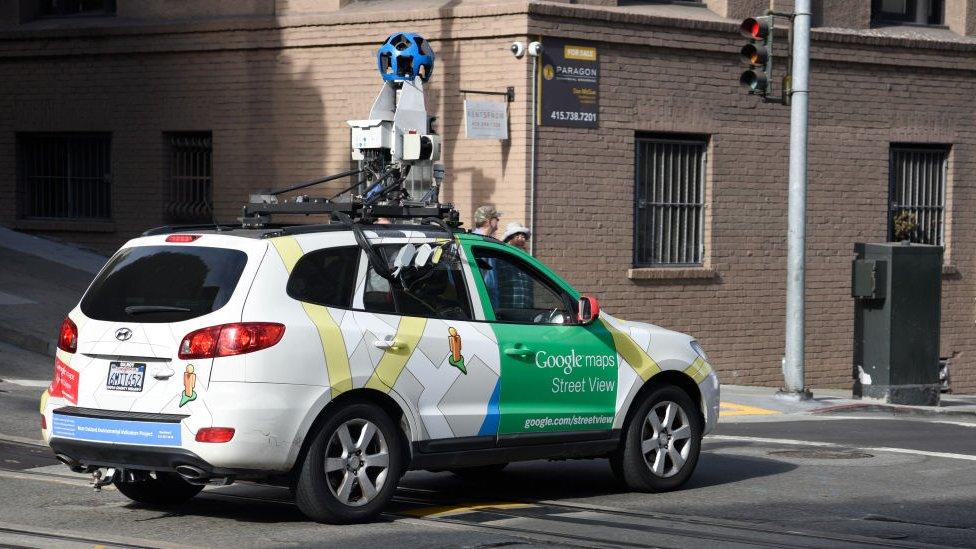
Its road data factors in slopes and inclines from its own Street View cars feature along with aerial and satellite imagery.
The Google chip that lets users make tiny hand gestures to control devices
"This is a great example of three trends coming together - the data, sustainability and consumer choice," said Siddharth Pathak, a partner at consultancy firm Kearney.
"It will also push those on the fence to make a deliberate choice of speed over sustainability and often cost."
Zone warnings
From June, Google will start warning drivers about to travel through low emissions zones where some vehicles are restricted. These are common in countries such as Germany, France, the Netherlands, Spain and the UK.
"From Amsterdam to Jakarta, cities around the world have established low emission zones - areas that restrict polluting vehicles like certain diesel cars or cars with specific emissions stickers to help keep the air clean," Google said in a blog post, external.
"To support these efforts, we're working on alerts to help drivers better understand when they'll be navigating through one of these zones."
Google Maps users will be also able to compare car, cycling, public transport and other travel options in one place instead of toggling between different sections in a new feature being launched this year.
The US tech giant says it has long developed sustainable practices to benefit the environment, and has pledging to be carbon-free by 2030 to helping cities track greenhouse gas emissions.
- Published25 March 2021

- Published23 March 2021

- Published16 March 2021
