Storm chaser documents 'Tornado Alley'
- Published
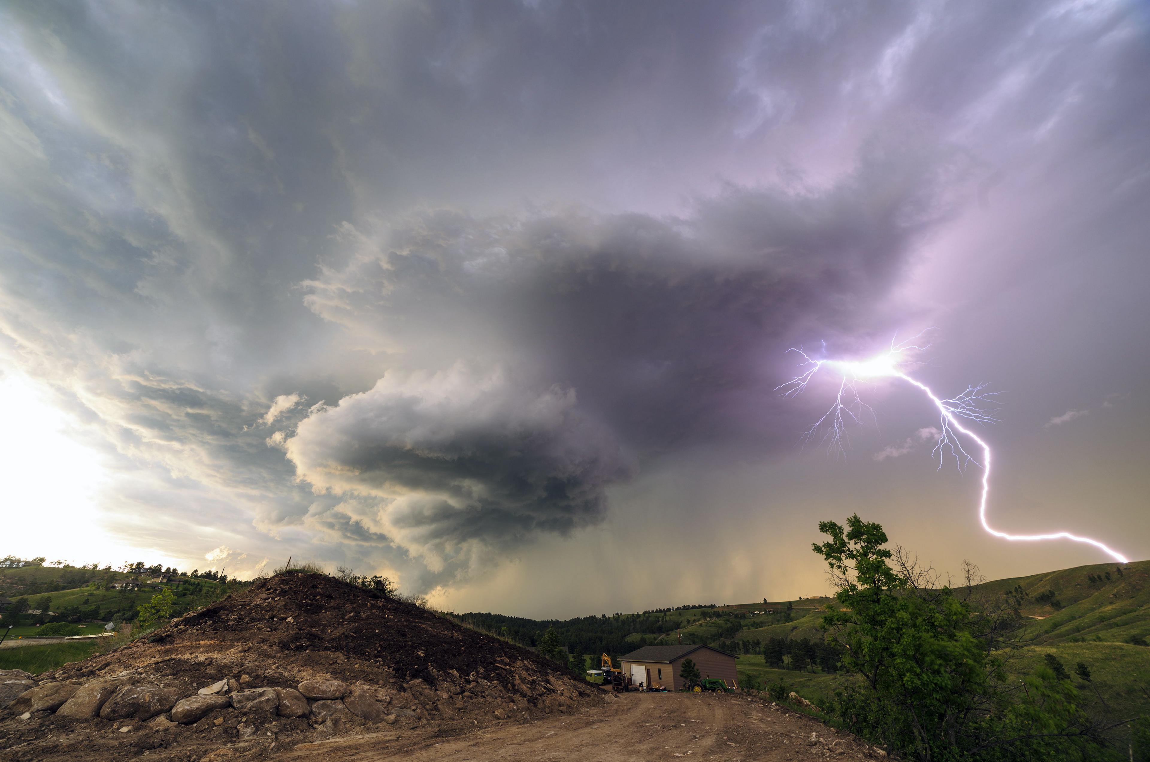
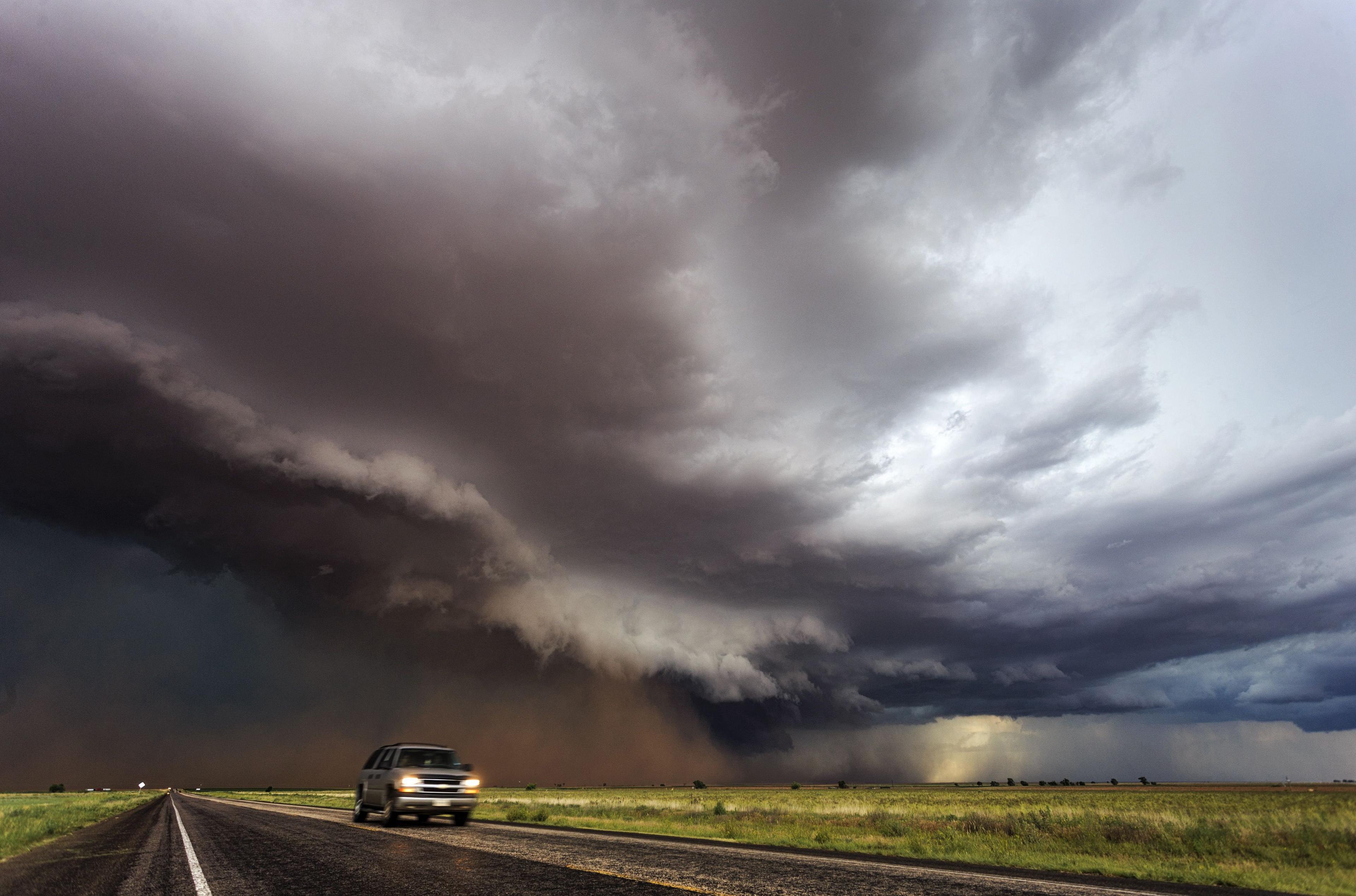
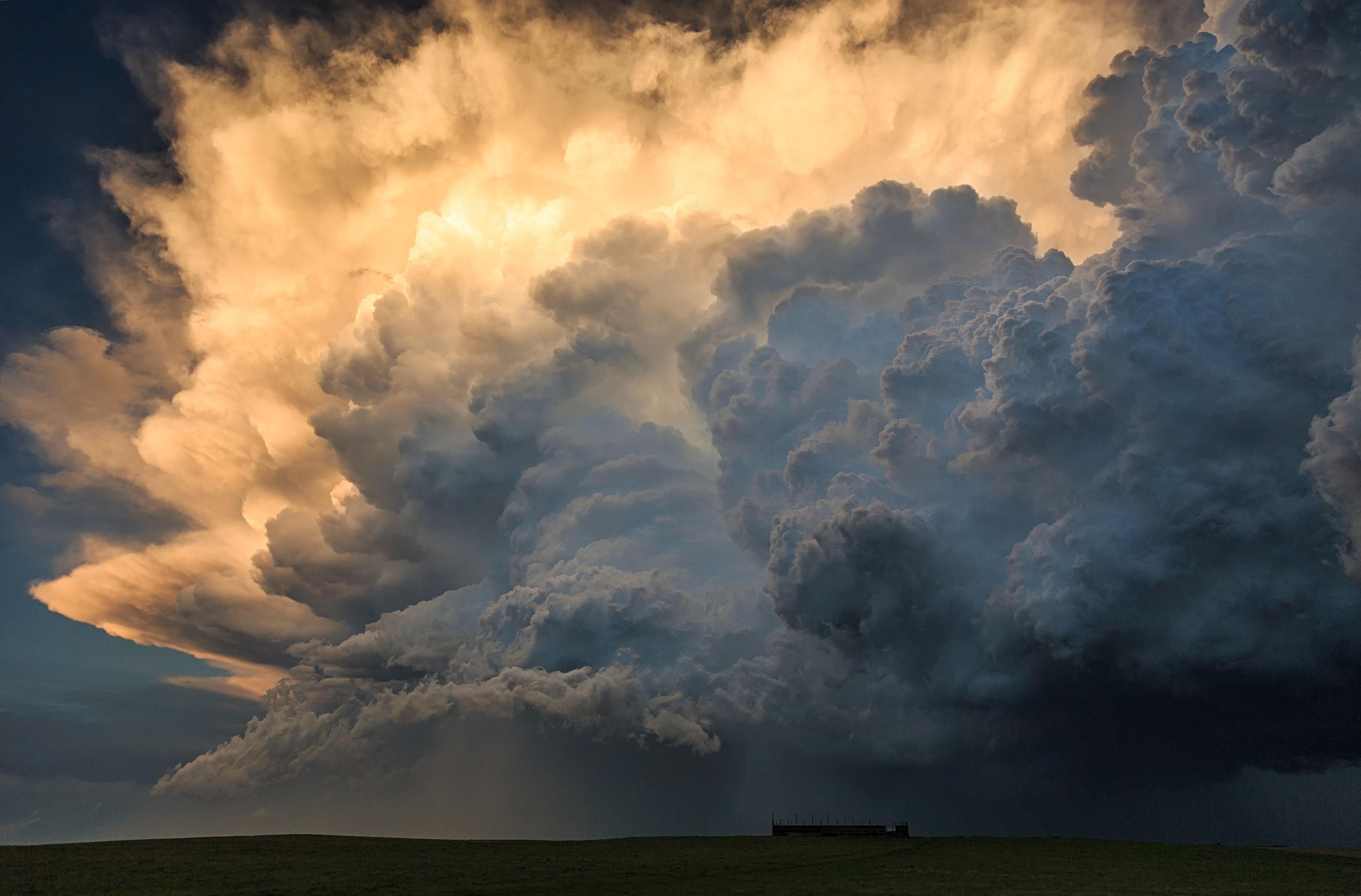
Marko Korosec, an amateur photographer from Sezana, Slovenia, has documented an impressive range of supercell storms in "Tornado Alley", in the US Midwest.
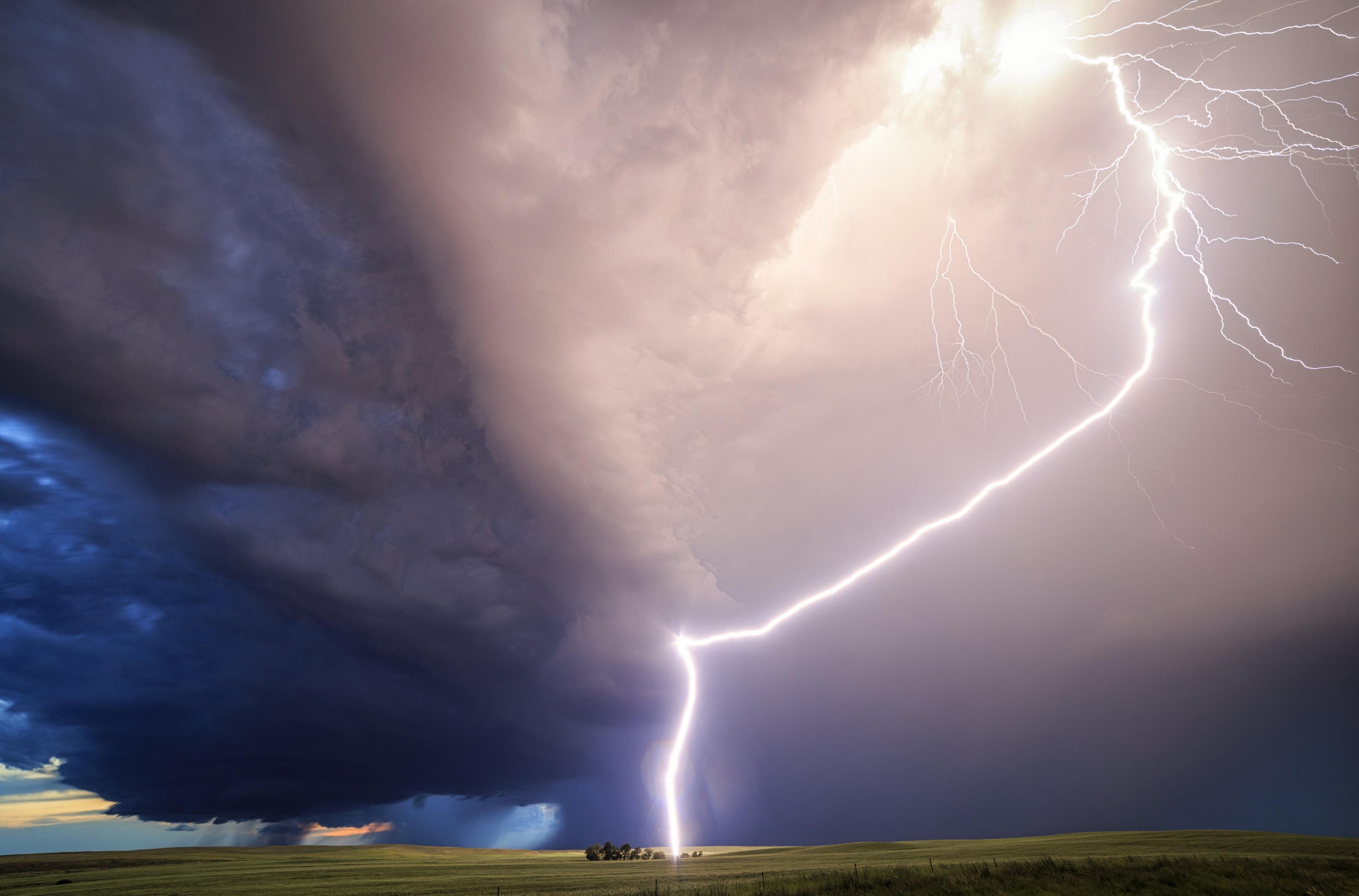
Korosec spent five weeks following storms in Texas, Oklahoma, Kansas, Colorado, Nebraska, South Dakota, and Montana.
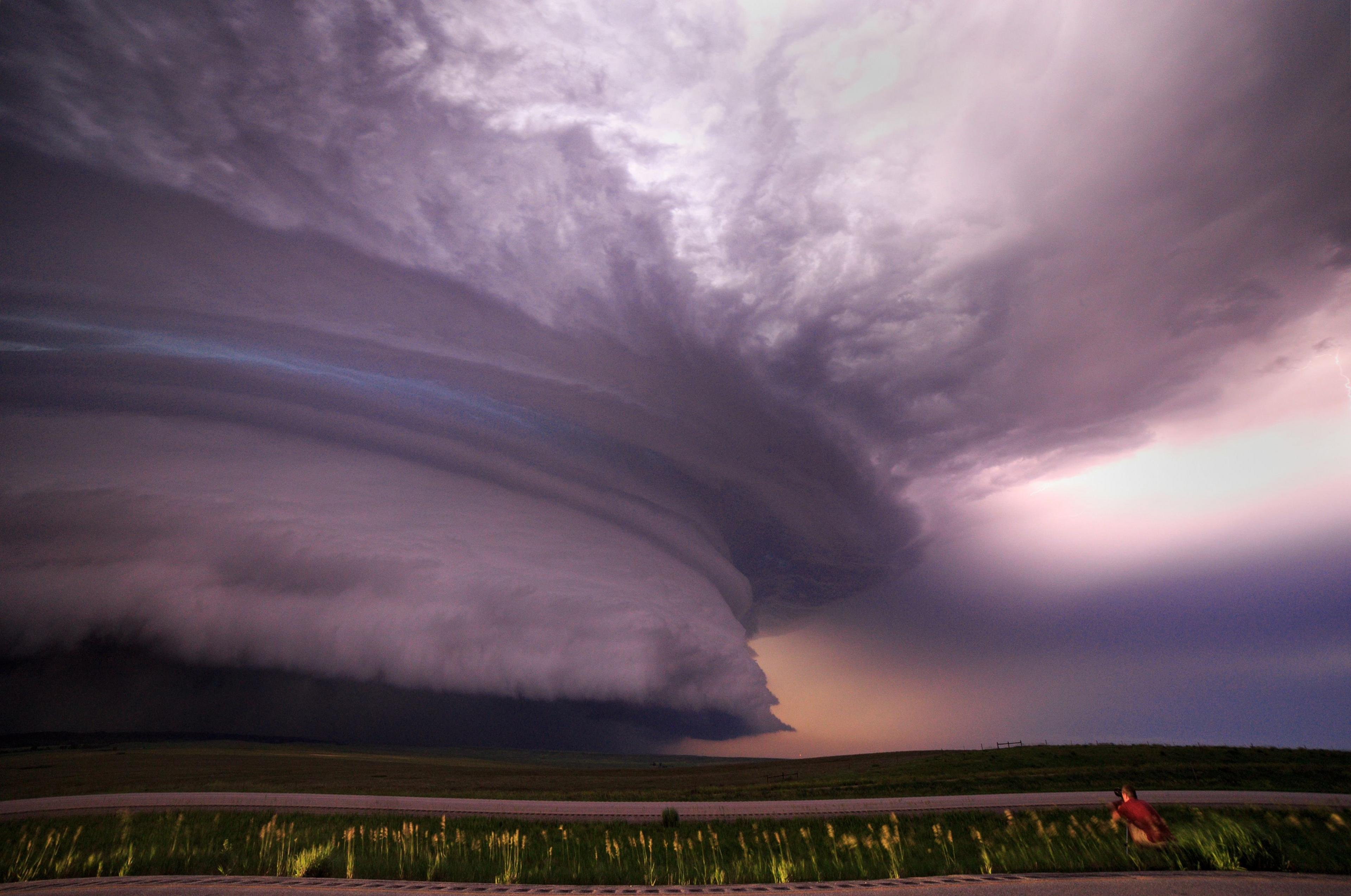
Supercells are the least common kind of thunderstorm. Their destructive might is second only to hurricanes.
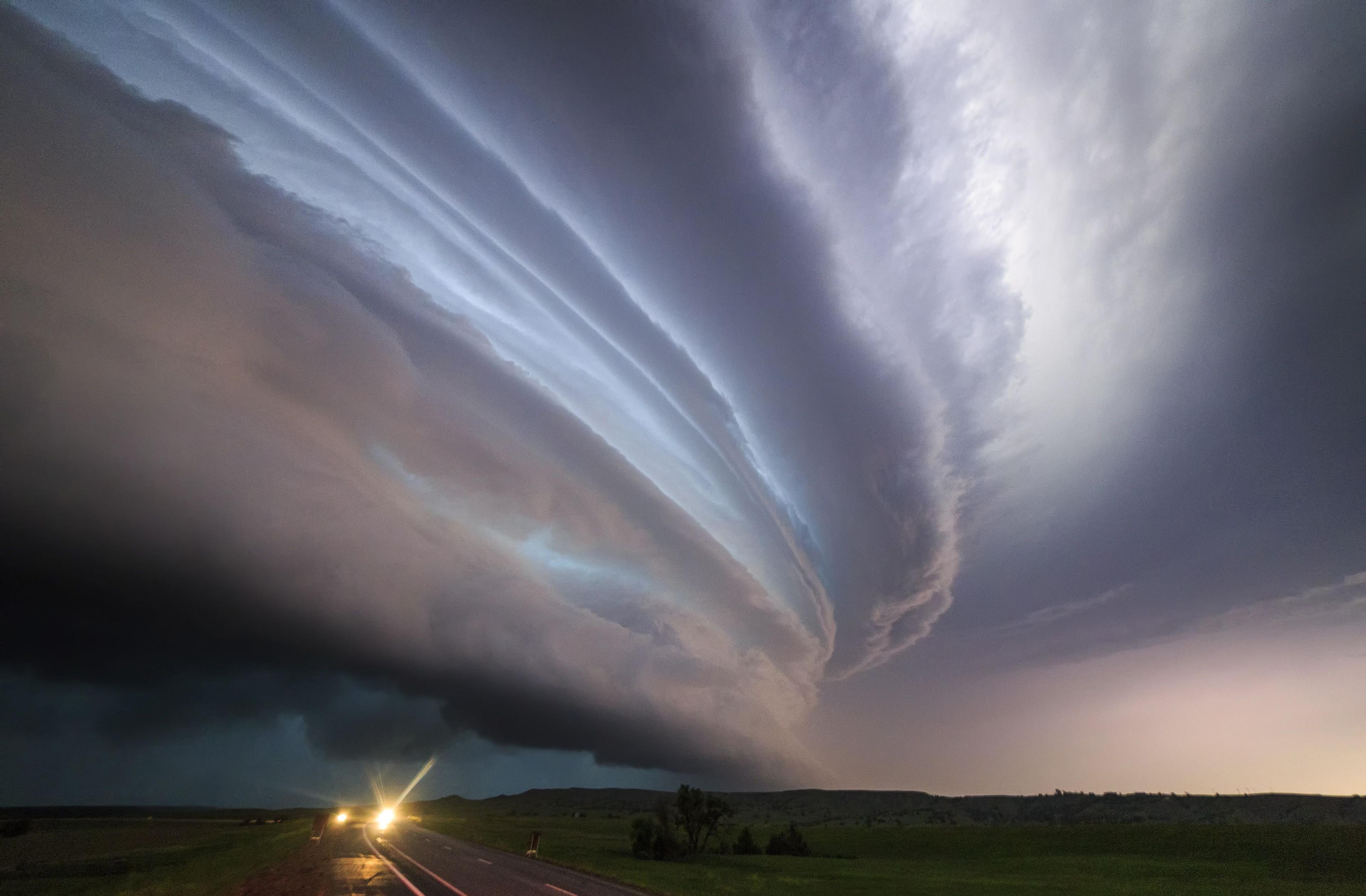
What sets them apart from regular violent storms is a persistent rotating updraft called a mesocyclone, which allows the storm to sustain itself over many hours.
Typical thunderstorms develop from cumulonimbus clouds. These begin as dense, billowing white towers, formed when warm, moist air is carried swiftly upwards by powerful convection currents.
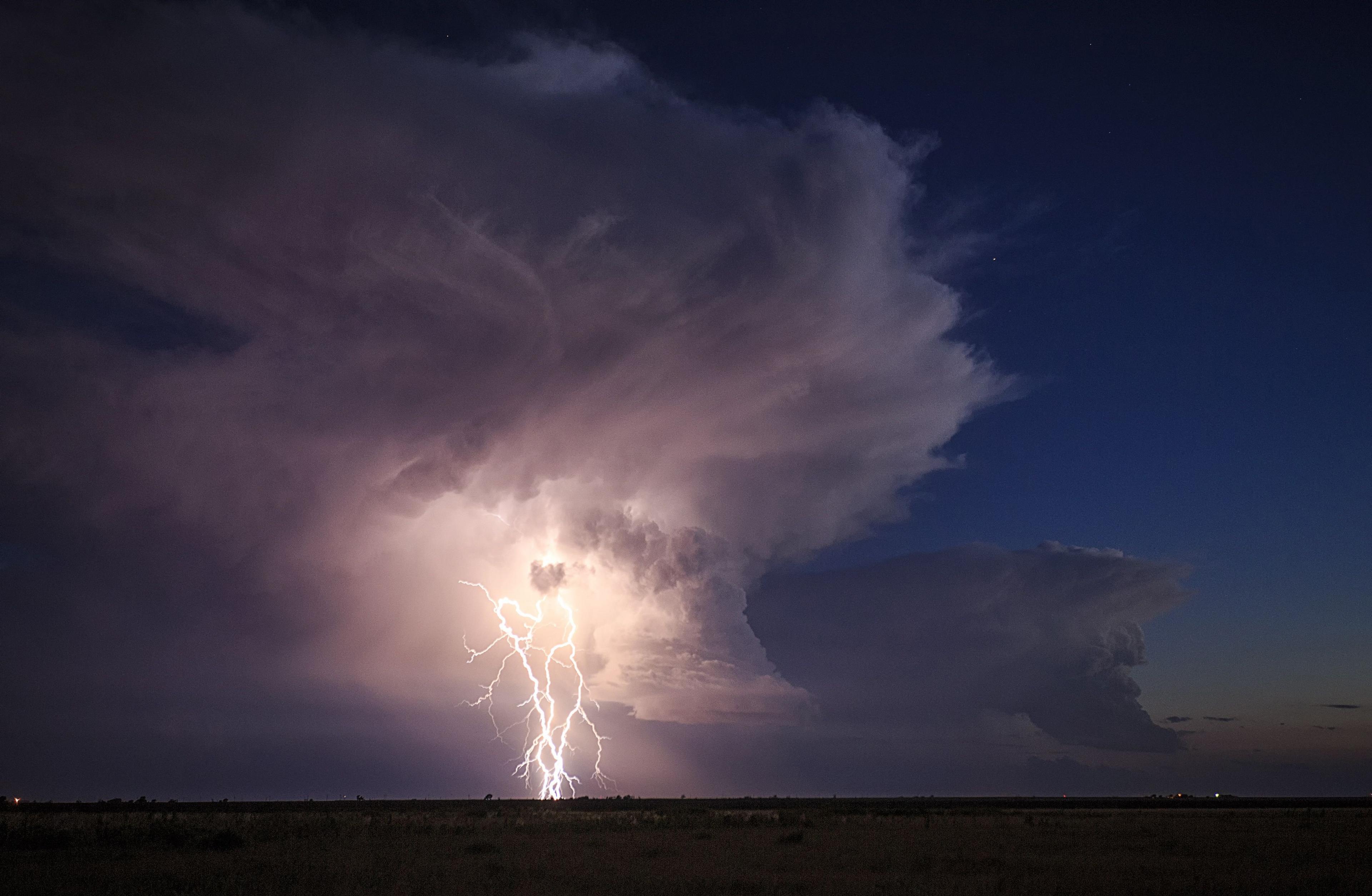
As the humid air bubbles up into cooler parts of the atmosphere, the moisture condenses, transforming fluffy cotton-wool clouds into a massive, lumbering rain cloud.
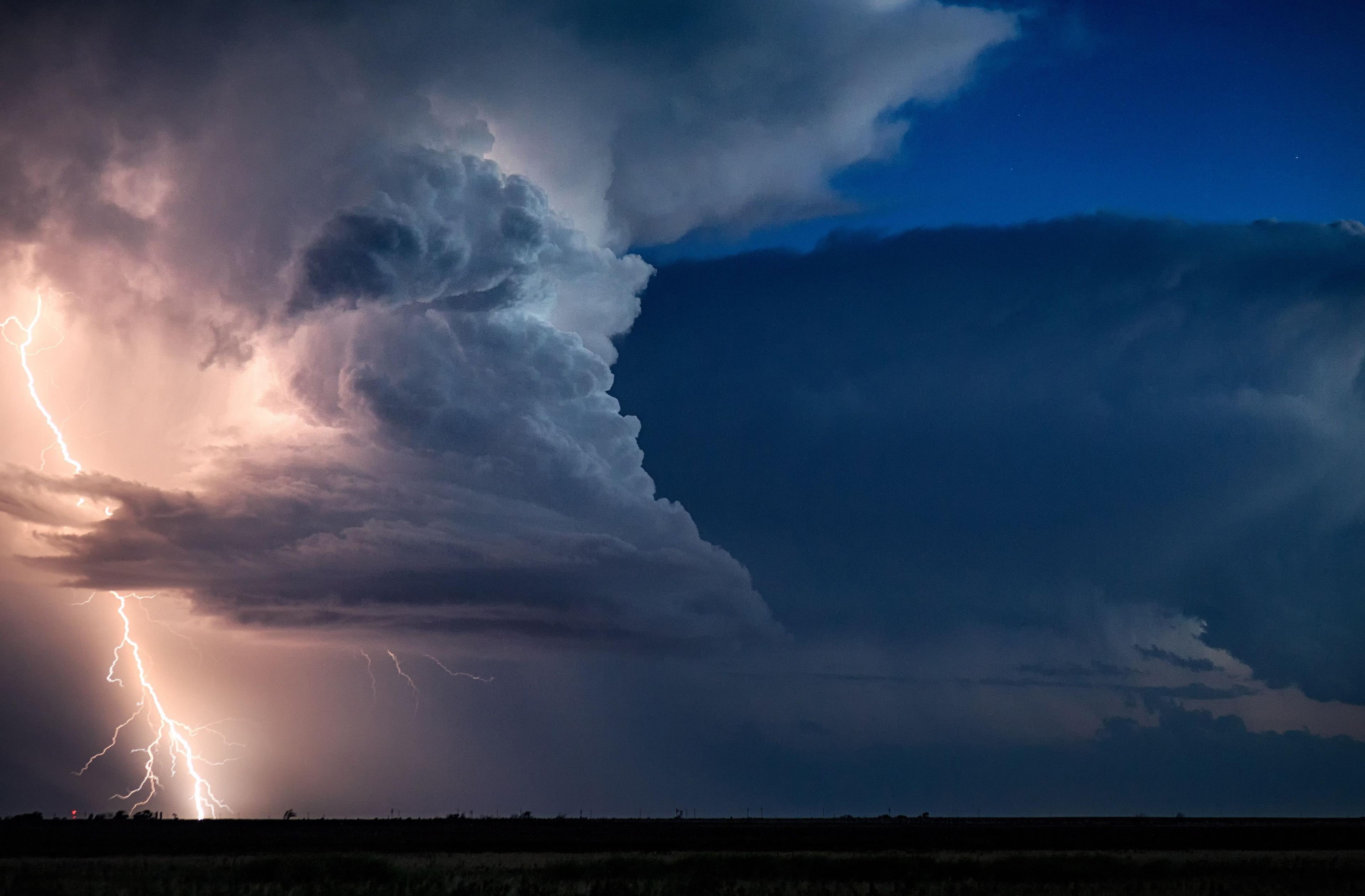
Korosec, who works as a meteorologist, was able to predict when the storms would occur, allowing him to get close to the action.
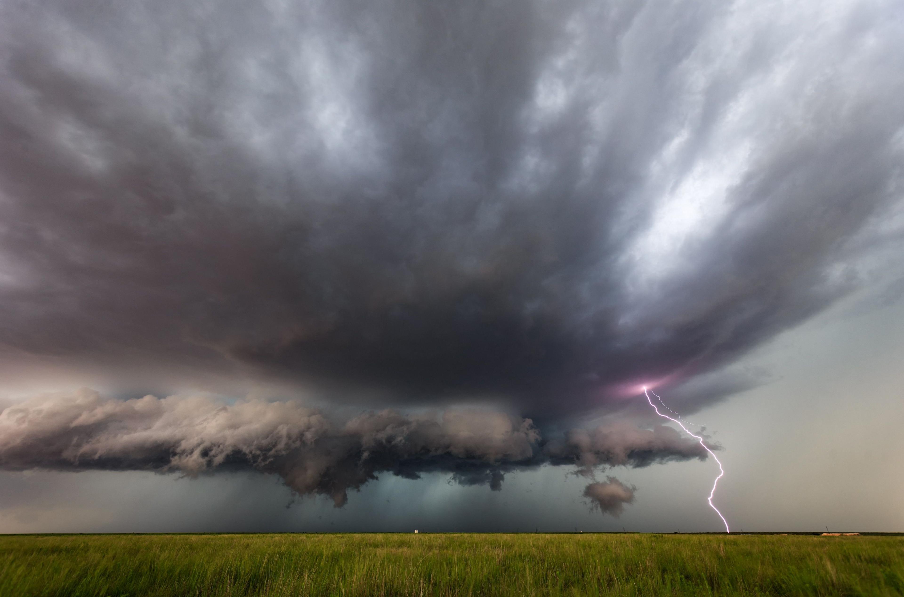
"I usually observe lightning strikes from about 1-2km [1.2 miles] away," says Korosec. "However, the tornados in these photos were about 500m-1km away."
"Being highly skilled and a good extreme-weather forecaster gives me an opportunity to predict and intercept where and when the storms occur. Usually I have a team of chaser friends, so we enjoy the show for several weeks together."