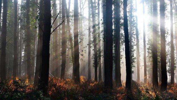
UK wins satellite contract to 'weigh' Earth's forests
- Published
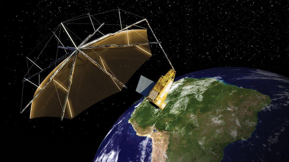
Artist's impression: The Biomass radar will use a 12m-diameter reflector/antenna
British industry is to lead the construction of a satellite that will weigh the world's trees.
The Biomass mission's novel space radar will make 3D maps of forests, improving our understanding of how carbon is cycled through the Earth system.
Its data will be important for climate research, and will create a baseline for treaties that seek to monitor the status of global forest resources.
The spacecraft is to be assembled by the UK arm of Airbus Defence and Space.
It signed a contract with the European Space Agency (Esa) on Friday last week valued at €229m (£179m).
The mission, which will launch on a Vega rocket in 2021, is part of Esa's Earth Explorer programme.
This operates a fleet of satellites that deploy innovative sensor technology to address big, outstanding environmental questions.
Slice by slice
The newness in Biomass is its P-band radar: a type of instrument that only recently has begun to be exploited in orbit.
By pulsing with a wavelength of 70cm, the radar can look through the leaf canopy of forests to the woody parts below.
Using an approach akin to tomography, it will scan slices through the trees on repeat passes to build up a picture of how much woody material is present.
Global maps should be produced every six months. The plan is for Biomass to gather at least five years' worth of data.
"Effectively, we'll be weighing the forests," said Prof Shaun Quegan, who was one of the key proposers of the mission.
"We'll know their weight and their height at a scale of 200m, and we'll see how they are changing over time.
"This will give us unprecedented information on deforestation - on how much carbon is going into the atmosphere from this source. At the same time, we'll also see how much carbon is being taken up in regrowth," the Sheffield University scientist told BBC News.

Biomass Earth Explorer
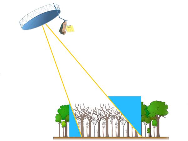
The satellite will measure the amount of carbon locked in the world's forests
Its P-band radar looks through the canopy to see the large trunks and branches
Repeat observations allow the satellite to gradually assemble a 3D view
Maps at a resolution of 200m will be made available every six months or so
The five-year mission will see at least eight growth cycles in the world's forests

Biomass will be permitted under international telecommunications rules to operate everywhere except the far north of the Americas and northern Europe.
Military priority for the detection of missiles means the satellite will have to turn off its radar in these regions.
Scientists are not unduly concerned about this, however, because forest statistics in those areas are already reasonably robust. The major regions of uncertainty are in the tropics, where Biomass can wield its instrument without restriction.
The capture of the satellite contract from Esa is a further boost to the British space sector. After some lean years, it is now the industrial lead on a number of the agency's missions:
Lisa Pathfinder: A fundamental physics experiment launched in December
Aeolus: To be launched next year, it will use a laser to map the winds on Earth
Solar Orbiter: Scheduled for 2018, it will study the Sun from close range
ExoMars rover: Set for 2020, this robot will search for life on the Red Planet
Sentinel-5p: Launching shortly to monitor Earth's atmospheric chemistry
"This is further proof of the confidence Esa has in UK industry to deliver," said Airbus executive Andy Stroomer. "It also affirms our approach to re-use proven systems to reduce cost.
"So, although Biomass with its big antenna looks quite different from Sentinel-5p, they actually share many of the same components, particularly the electronics."
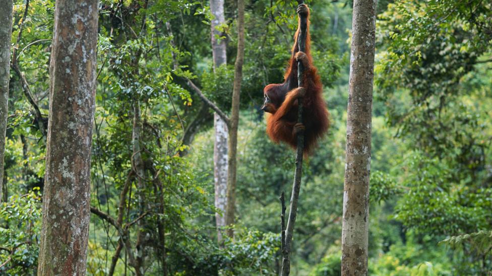
The data will also be used for biodiversity research, to understand the habitats of different species
All missions have a primary objective, but then enterprising researchers will find secondary applications for a satellite's data. Biomass promises some fascinating alternative uses.
Its P-band radar, for example, will see tens of metres into the ground.
"The penetration depth of the radio wave is very high compared to any other radar," explained Volker Liebig, Esa's director of Earth observation.
"This means in deserts we can look under the sand for archaeology, for the foundations of old buildings. It may be possible to see old impact structures from meteorites as well."
UK science minister Jo Johnson, who witnessed the contract signing between Mr Stroomer and Prof Liebig, said: "Biomass is a revolutionary mission, helping us better understand our planet's carbon cycle to help tackle climate change.
"Satellites are the only way for us to get this unique perspective on our planet. It is our membership of Esa and our reputation for science and innovation that enables UK industry to win major satellite manufacturing contracts such as this one, creating jobs around the country."
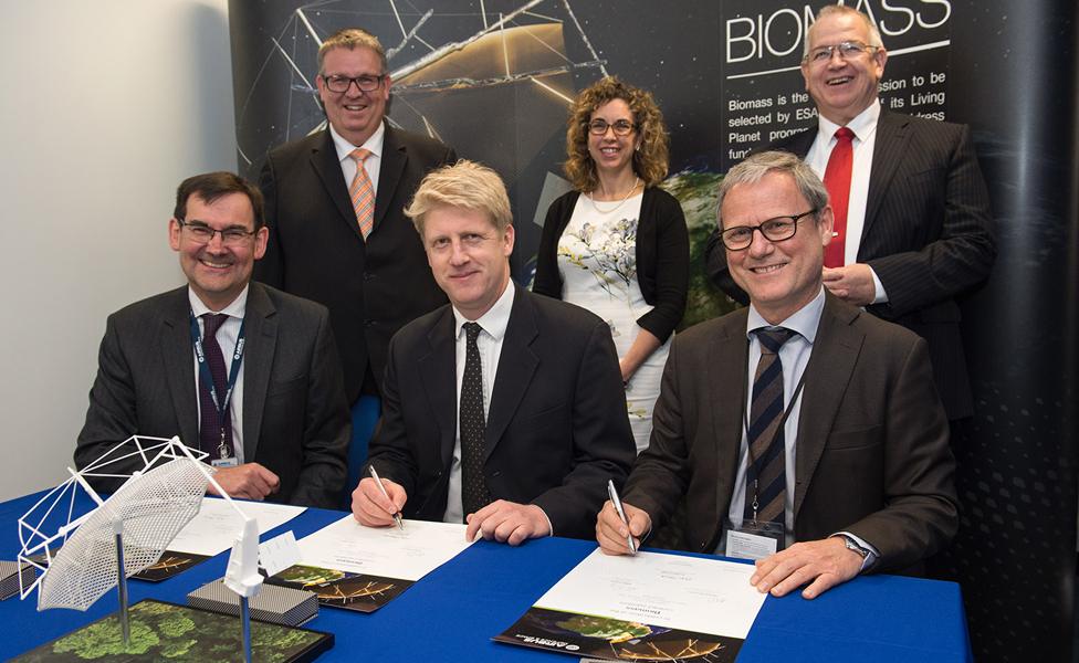
Jo Johnson (centre) witnessed the signing between Mr Stroomer (left) and Prof Liebig (right)
Jonathan.Amos-INTERNET@bbc.co.uk, external and follow me on Twitter: @BBCAmos, external
- Published3 September 2015
