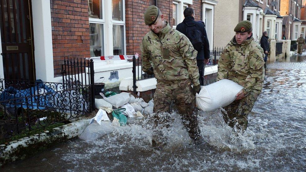
Cumbrian lakes hold a centuries-long flood record
- Published
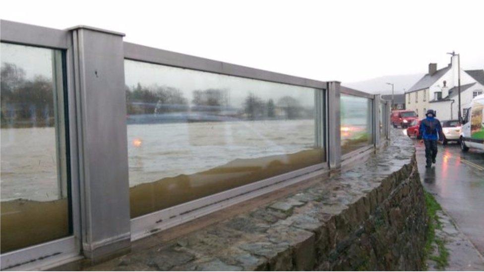
To understand what could happen in the future requires some knowledge of what happened in the past
Any plan to protect homes and businesses from flooding has to understand the scale of the problem being confronted.
Key questions are: "How often will it flood, and how big will the events be?"
Engineers can then design and build the defence infrastructure suitable to the task.
In the modern era, we've relied on records of precipitation and river flow to help gauge flood risk.
But this is problematic because our data on rainfall only goes back a couple of hundred years in a few locations, and good measurements of river flows are shorter still - just a matter of decades.
That is really too short to capture the full range of possibilities in terms of flood frequency and magnitude.
It is why the National Flood Resilience Review, external published on Thursday wants to see greater use of "information from historic sources (for example newspaper reports, photographs, and sediments)".
This is work done by the likes of Richard Chiverrell, external, David Sear, external, Jeff Warburton, external and Daniel Schillereff, external (Liverpool, Southampton, Durham, Kings College London universities).
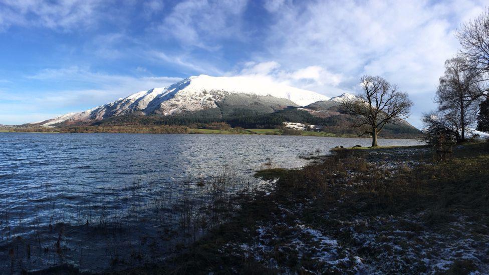
The team has been studying the sediments in four lakes in Cumbria.
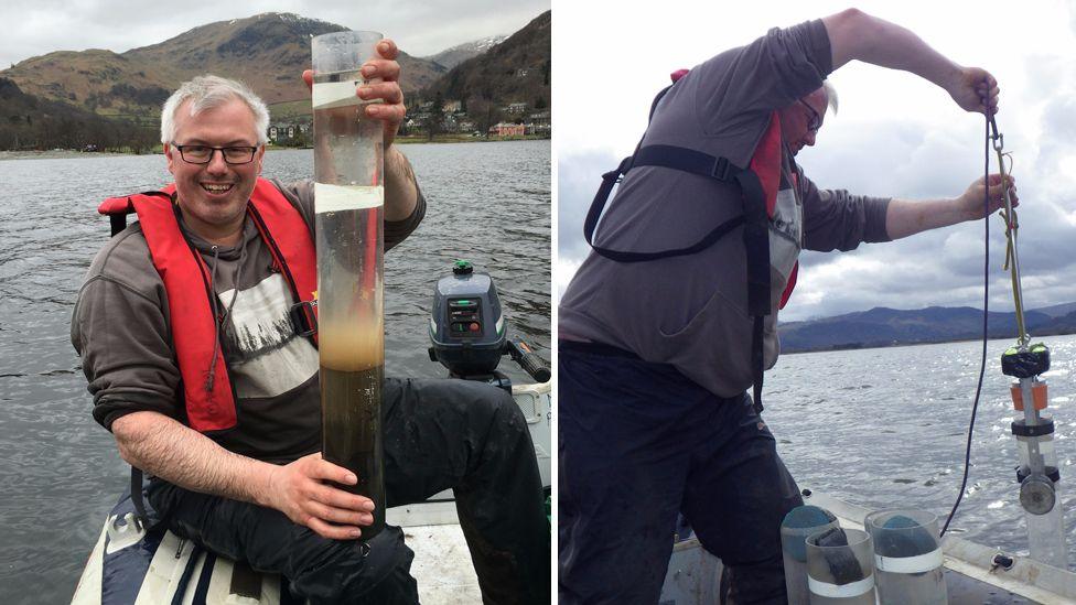
Richard Chiverrell's group studies the sediments in four lakes
In amongst their typically fine-grained brown bottom-muds are numerous layers of sand.
This is the material washed into the lakes whenever there is a colossal downpour, such as that delivered by Storm Desmond last December and which brought misery to Cumbria.
The size of the sand grains is related to the magnitude of a flood: a bigger event will have the energy to carry larger particles.
The team has a lot of confidence in its methods - for both flood magnitude and frequency.
Back in December, the group happened to have sediment traps in place on Brotherswater to see how Desmond washed material into the lake.
The scientists saw precisely how the flood plume, with its load of sand, entered the main body of water and then settled out.
"It was very important because it allowed us to test that the sediment record that we've been interpreting as a flood really is a flood," Prof Chiverrell said.
The storm changed the level of Brotherswater by more than a metre in 24 hours
The spacing of the sand layers is a telltale for how often floods occur.
The UK Natural Environment Research Council has funded this investigation through its Urgency Programme, external, including the on-going investigations in the lakes of Buttermere, Bassenthwaite, Ullswater and Brotherswater, but already new insights are emerging.
In Bassenthwaite, for example, the team has an unpublished sediment record stretching back more than 600 hundred years - back beyond AD 1400. The Brotherswater record is even longer in duration.
They are represented by one long core drilled through the bottom of the lake, and a series of shorter "satellite" cores drilled around it.
The team has also been very fortunate in building its chronology to have some special time markers.
The Lake District has a long and well documented history of metal mining. And mixed in the sand layers are traces of copper, lead, zinc and even barytes that reflect the periods when particular industries were dominant.
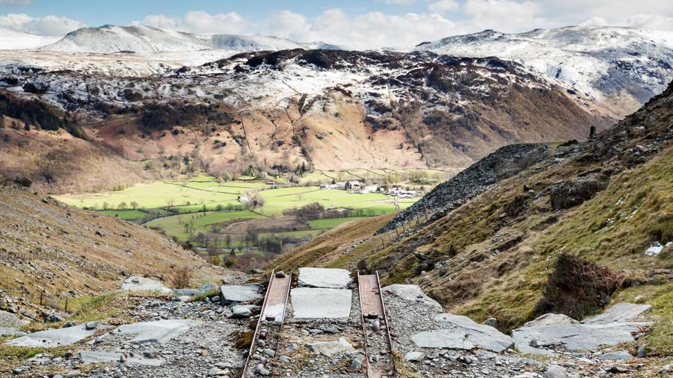
The Lake District has a long history of mining which is also now written in the sediments
"You can see the signature of Goldscope mine when German technologists came in around AD 1560 and started extracting the copper. We see this early copper spike in the sediments. We've also got an independent chronology as well; at the base of the core from radiocarbon, and there are also markers (radiocaesium) in there from nuclear weapons testing and from Chernobyl," Prof Chiverrell explained.
The team hopes to publish its full paleoflood analysis shortly, but from the preview given at this year's European Geosciences Union meeting, external it is clear we are living in extraordinary times.
Two-thirds of the biggest floods in the Bassenthwaite sediment record have occurred in the past 20 years.
Nothing like them has been seen since the first Queen Elizabeth was on the throne.
"The people living in the Lake District today are very aware that they're experiencing a flood-rich period, and the last 20 years contains some of the largest flood events - 2009, 2005, 2015 and 1995 in order of severity," Prof Chiverrell told BBC News.
"In any discussion about the recent floods, the issue of 'attribution' is always a keen topic. But it is difficult to be certain because there are many controls influencing the intensity and track of storms across the UK.
"That said, the recent spate of extreme floods does correspond with the move into a warmer world."

Update: 30/05/19: The research on which this article was based was subsequently published in the journal Earth Surface Processes and Landforms, external.

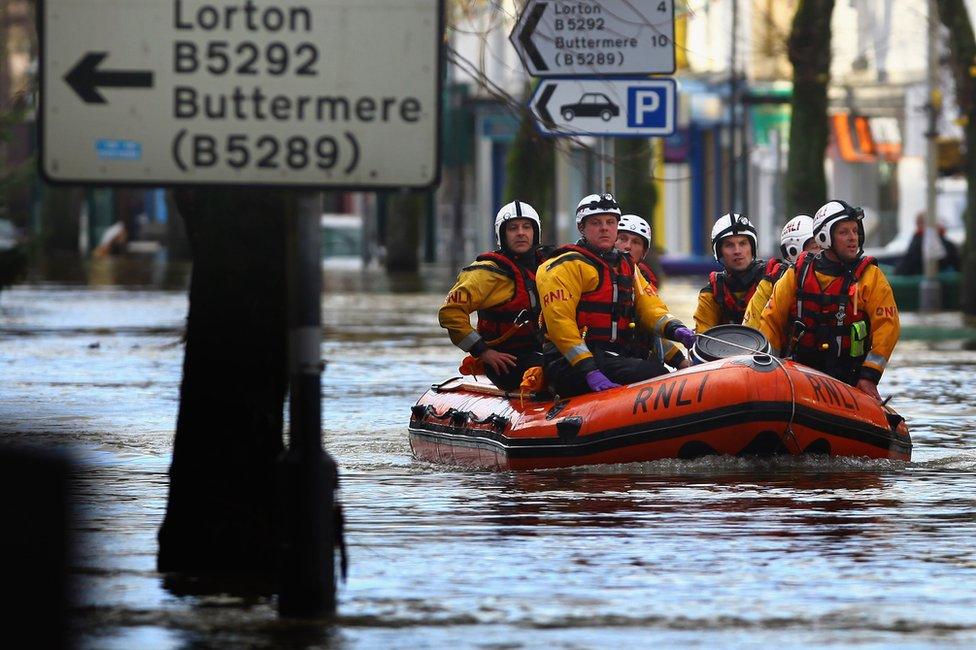
North-west England is living through a flood-rich period that is unmatched in centuries
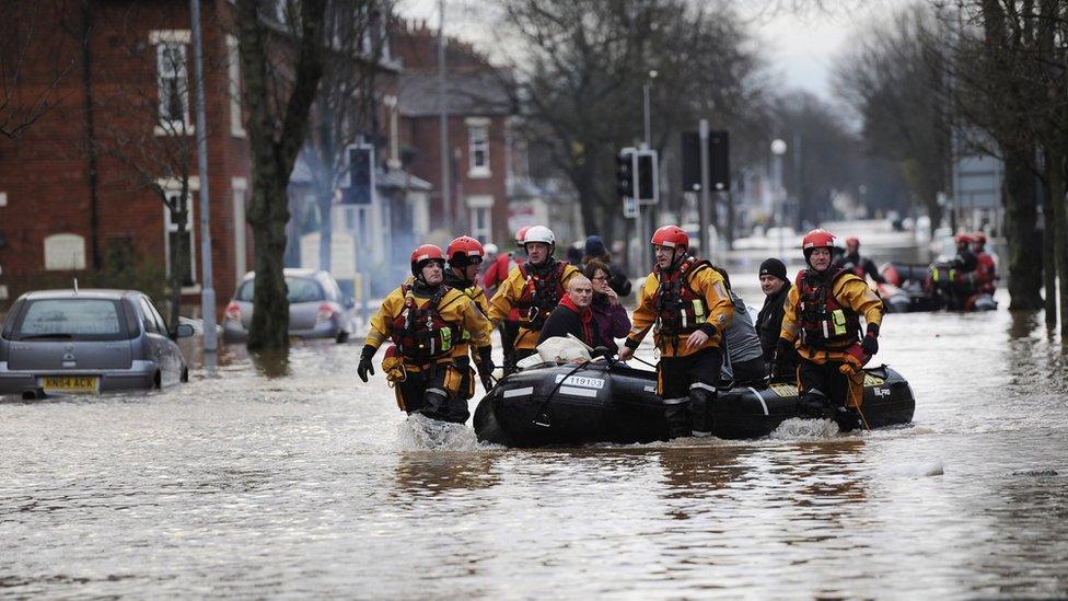
The National Flood Resilience Review wants to see a broader set of data being used
Jonathan.Amos-INTERNET@bbc.co.uk, external and follow me on Twitter: @BBCAmos, external
- Published8 September 2016
- Published8 September 2016
