Weather: UK experiencing hotter days and 'tropical nights' - Met Office
- Published
- comments

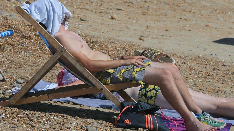
While 2018 saw an extremely hot summer in the UK, the previous decade was also warmer than the long-term average
The UK has experienced more weather extremes over the last 10 years when compared with previous decades, a Met Office report has said.
The hottest days have become almost 1C hotter, warm spells have increased, while the coldest days are not as cold.
The number of so-called tropical nights - when temperatures stay above 20C - is increasing.
The Met Office says these changes are consistent with warming driven by human activities.
The new study compares UK weather data from the period 1961-1990 with the 10 years between 2008 and 2017.
Why there were so many heatwaves around the world in 2018
The study finds that on average the hottest day in each year over the recent 10-year period is 0.8C warmer than it was when compared to the earlier decades.
The coldest days and nights have also become warmer, with temperatures on average 1.7C milder in recent years.

To illustrate just how mild temperatures have been between 2008 and 2017, the report says that a significant area inland from the UK coast had, on average, less than one day per year with temperatures below zero.

One intriguing finding has been about what are termed tropical nights, when temperatures stay above 20C.
In the 30 years between1961 and 1990 there were no less than 44 nights where at least somewhere in the UK had a minimum temperature of 20C or higher.
But in the 10 years between 2008 and 2017 there were 12 such nights. In 2018, there were five such nights,
The Met Office expects to see more tropical nights as our climate continues to warm. These can be a big risk for elderly people.
"A particular concern for the health impacts of heat waves are these tropical nights where the human body doesn't get respite from the heat," said Dr Mark McCarthy from the Met Office's National Climate Information Centre.
"That is particularly so in large cities where it is further exacerbated by the urban heat island effect where the city will retain more of the heat of the day.
"Of those places where we do see tropical nights most frequently, London is one of those areas where it does occur. It could become a very important index in future."
Key highlights from the report
Another important measure of change that is highlighted in the study are the number of warm spells that have been recorded. This is the number of days per year that go well beyond the average long-term temperature for that 24-hour period.
The study says that between 1961 and 1990 there were on average 5.3 days per year that went well beyond the average. In the 10 years to 2017, there were 13.2 days on average every year.
Rainfall has also increased over the period of the report. The maximum five-day precipitation between 1916 and 1990 was 77.8mm - between 2008 and 2017, it averaged 81.4mm.

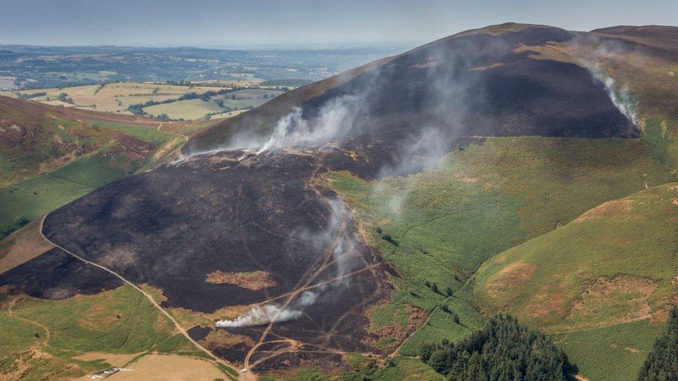
Wildfires in various parts of the UK were a consequence of the hot summer of 2018
So what's been driving all this change? Met Office scientists say that natural variability may be impacting the rainfall situation across the UK - but when it comes to temperatures, the researchers say it is warming driven by humans.
"The temperature indicators are all consistent with the warming of the UK climate that we have observed over the last 50 years or so," said Dr McCarthy.
"Certainly for the temperature-based indices such as the warm spell duration and the cold and high temperature indices, they are consistent with that well known warming, and for the UK it's about the same rate of warming as has been seen globally."