Satellite plane-tracking goes global
- Published

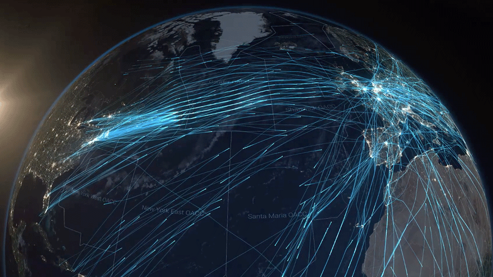
The North Atlantic is the busiest oceanic flight corridor in the world
Tracking aeroplanes anywhere in the world just got a lot easier.
The US firm Aireon, external says its new satellite surveillance network is now fully live and being trialled over the North Atlantic.
The system employs a constellation of 66 spacecraft, which monitor the situational messages pumped out by aircraft transponders.
These report a plane's position, altitude, direction and speed every eight seconds.
The two big navigation management companies that marshal plane movements across the North Atlantic - UK Nats, external and Nav Canada, external - intend to use Aireon to transform their operations.
The more detailed information they now have about the behaviour of aeroplanes means more efficient routing can be introduced.
This ought to reduce costs for airlines. Passengers should also experience fewer delays.
Neil Wilson, the president and CEO of Nav Canada, called the introduction of the satellite system "momentous".
His counterpart at UK Nats, Martin Rolfe, called it "historic".
"As we speak, our air traffic controllers based in Prestwick in Scotland, together with our friends at Nav Canada and the Irish Aviation Authority, are trialling the use of Aireon's realtime data to manage the safe passage of hundreds of flights across the ocean," he said.

More efficient routing will save fuel, emissions, money and time
How does the new system work?
Increasing numbers of planes since the early 2000s have been fitted with Automatic Dependent Surveillance Broadcast (ADS-B) transponders. US and European regulators have mandated all aircraft carry this equipment as of next year.
ADS-B pushes out a bundle of information about an aircraft - from its identity to a GPS-determined altitude and ground speed. ADS-B was introduced to enhance surveillance and safety over land, but the messages can also be picked up by satellites.
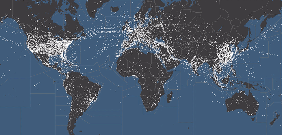
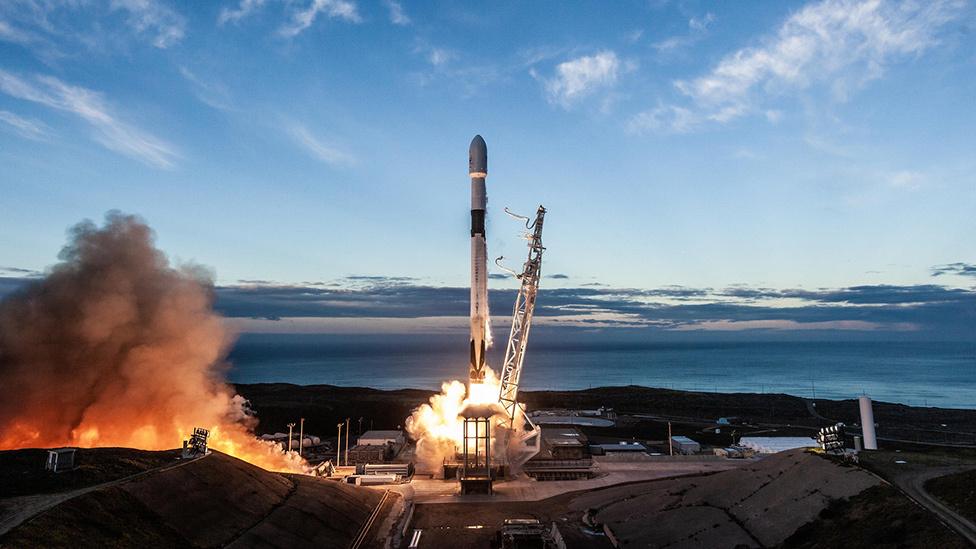
Aireon has receivers riding piggyback on all 66 spacecraft of the Iridium sat-phone service provider. These sensors make it possible now to track planes even out over the ocean, beyond the visibility of radar - and ocean waters cover 70% of the globe.
The rapid-fire nature of the messaging also means aircraft visibility is virtually continuous. Existing data links only report ocean-crossing aircraft positions every 14 minutes.

Truly global, near-realtime surveillance of ADS-B-equipped aircraft
How will traffic management change?
The limited visibility that has existed up until now means planes moving between Europe and North America have had to use regimented tracks in the sky. The rigid structure maintains large areas of clear space around planes to remove the possibility of a collision.
But with the near-realtime surveillance from satellites, it becomes possible to introduce greater flexibility into the management of the airspace.
For example, in the North Atlantic, traditional in-line safe separation distances will eventually be reduced from 40 nautical miles (80km) down to as little as 14 nautical miles (25km). As a result, more aircraft will be able to use the most efficient tracks.
What are the likely benefits?
Increased safety: Air traffic controllers will get earlier notice of planes that have deviated from an agreed flight path, allowing early intervention to prevent situations arising that are potentially dangerous.
The big benefits from satellite ADS-B will come over the oceans, but there are also remote land regions that have limited ground infrastructure which the new system can now bolster. Nav Canada, for example, will be making particular use of Aireon in its Arctic sectors.
Fuel and CO2 savings: Too many planes crossing the Atlantic are forced to fly at altitudes and speeds that burn unnecessary amounts of fuel.
"Eight out of 10 flights will now be able to fly without any kind of speed restriction compared with the far less efficient fixed-speed environment we previously had to operate within," Mr Rolfe said. "These changes, made possible by Aireon, will generate net savings of $300 in fuel and two tonnes of carbon dioxide per flight."
However, any carbon dividend is likely to be eaten into by the growth in traffic made possible by the introduction space-based ADS-B. Today, there are over 500,000 aircraft movements across the North Atlantic each year. This is projected to increase to 800,000 by 2030.
Passengers' time: The new system should permit more direct routing, meaning more reliable schedules. Then there's the issue of plane-stacking at congested airports. The practice is a profligate waste of fuel and carbon. It's also a very frustrating experience for passengers. Controllers will aim to use the new system to craft flight profiles so that aircraft can neatly follow each other in to land.
"We would like to adopt some of the advanced management techniques that stream the way the aircraft cross the Atlantic, so that they can come in to have a constant descent into Heathrow, etc," UK Nats safety director, Alastair Muir, told BBC News in January.
"We want to do trials to investigate how we don't have to hold aircraft in domestic airspace."
Jonathan.Amos-INTERNET@bbc.co.uk, external and follow me on Twitter: @BBCAmos, external
- Published11 January 2019
