'Moderate to strong' La Niña weather event develops in the Pacific
- Published

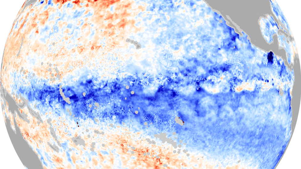
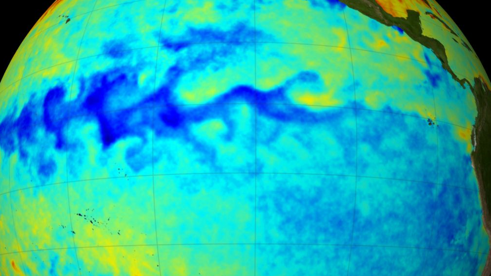
An image showing the colder waters in the Pacific that characterise a La Niña event
A moderate to strong La Niña weather event has developed in the Pacific Ocean, according to the World Meteorological Organization (WMO).
The naturally occurring phenomenon results in the large scale cooling of ocean surface temperature,
This La Niña, which is set to last through the first quarter of 2021, will likely have a cooling effect on global temperatures.
But it won't prevent 2020 from being one of the warmest years on record.
La Niña is described as one of the three phases of the weather occurrence known as the El Niño-Southern Oscillation (ENSO), external.
This includes the warm phase called El Niño, the cooler La Niña and a neutral phase.
How La Niña could impact world weather
A La Niña develops when strong winds blow the warm surface waters of the Pacific away from South America and towards Indonesia.
In their place, colder waters from deep in the ocean come up to the surface.
This event leads to significant weather changes in different parts of the world.
If a really strong La Niña event were to occur, research suggests, external that the UK and Northern Europe might experience a very wet winter.
Normally La Niña means countries like Indonesia and Australia can get much more rain than usual, and a more active monsoon occurs in southeast Asia.
There are likely to be more storms in Canada and the northern US, often leading to snowy conditions.
Southern US states can be hit by drought at the same time.
The last time that a strong event developed was in 2010-2011.
The WMO says there is a now around a 90% chance of tropical Pacific sea temperatures remaining at La Niña levels for the rest of this year.

There is a 55% chance of the conditions persisting through the first quarter of next year.
While a La Niña event normally exerts a cooling influence on the world, this is unlikely to make too much of a difference to 2020.
"La Niña typically has a cooling effect on global temperatures, but this is more than offset by the heat trapped in our atmosphere by greenhouse gases," said Prof Petteri Taalas, from the WMO.
"Therefore, 2020 remains on track to be one of the warmest years on record and 2016-2020 is expected to be the warmest five-year period on record," he said
"La Niña years now are warmer even than years with strong El Niño events of the past."
The WMO says it is announcing the La Niña now to give governments a chance to mobilise their planning in key areas such as disaster management and agriculture.
One important aspect of La Niña is the effect it could have on the remainder of the Atlantic hurricane season.
A La Niña event reduces wind shear, which is the change in winds between the surface and the upper levels of the atmosphere. This allows hurricanes to grow.
The hurricane season ends on 30 November and so far there have been 27 named storms. This is more than the 25 predicted by the US National Oceanic and Atmospheric Administration, external (NOAA) earlier this year.
Follow Matt on Twitter, external.