Satellite to help planes avoid turbulence
- Published

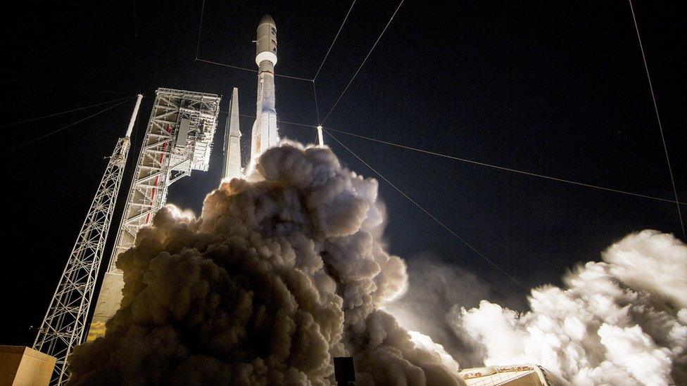
A new weather satellite that could help pilots avoid turbulence has launched into space.
The US National Oceanic and Atmospheric Administration (Noaa) said it would beam clearer images of cloud "waves", which contribute to turbulence, back to earth more quickly.
It is also set to give better estimates of wind speed, fog, ice and lightning.
Pilots have welcomed the advances, which are expected to be available from the second half of 2017.
GOES-R (Geostationary Operational Environmental Satellite) is billed as the world's most advanced weather satellite.
It also claims to pick up on hurricanes, tornadoes, flooding, volcanic ash clouds, wildfires, lightning storms and solar flares more quickly.
The $1bn (£800m) satellite will scan the skies five times faster than previous versions and with four times greater image resolution, according to Noaa.
'Cloud waves'
For airlines, the improved data and imaging will help pilots plan their routes to avoid hazardous conditions.
Steven Goodman, a senior programme scientist for GOES-R, said satellites had previously struggled to capture clouds in enough detail to show the "waves" that contribute to turbulence.
But the new satellite would deliver clearer views and send images back within minutes, he told the BBC.
"It will give the weather as it's looking now rather than the weather that happened 15 to 30 minutes ago," he said.
It was designed to also measure in-cloud lightning, wind speeds and fog patterns more accurately, he said.

Pilots will appreciate the promised advances in weather forecasting, according to Steve Landells, a flight safety specialist at the British Airline Pilots Association (Balpa).
Mr Landells, a pilot of 27 years, said turbulence caused by lightning storms was more predictable, but that other types were more difficult.
"If they can start predicting that to a great degree, and more timely, then that would be a significant help," he said.
Noaa teamed up with Nasa for the mission, which saw about 8,000 space programme workers gather at the launch site in Florida on Saturday.
The satellite is scheduled to reach an orbit of 22,300 miles (35,900km) in about two weeks and become operational within a year.
Once running, it aims to produce full images of the Western Hemisphere every 15 minutes and the continental US every five minutes. Specific storm regions will be updated every 30 seconds.
- Published17 November 2016
