How wet has June really been in the UK?
- Published

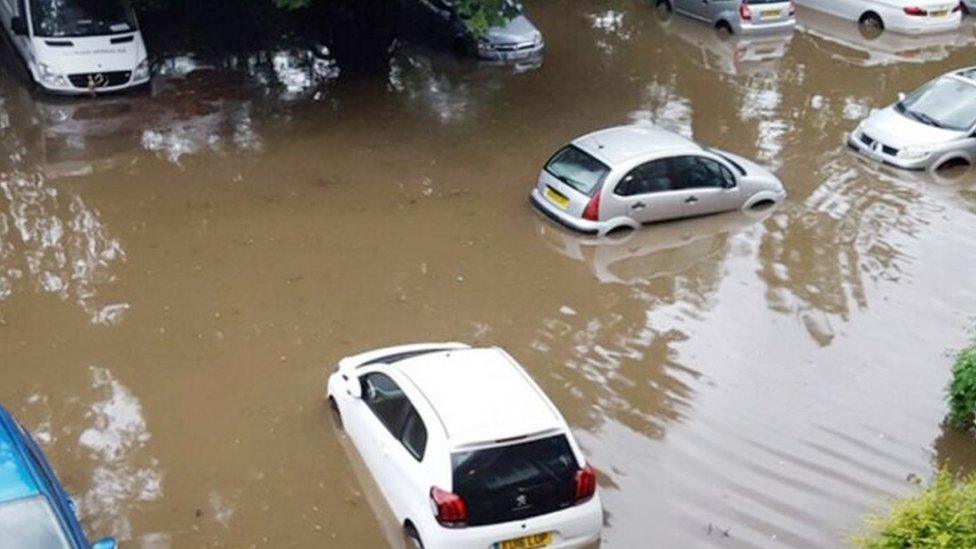
Heavy rainfall affected many parts of south-east England overnight into Thursday morning, causing localised flooding and travel disruption across areas including central London.
Indeed, central London's St James's Park recorded 44.4mm of rain in just a few hours through the early part of the morning.
The greatest official rainfall total during this spell of severe weather was recorded just to the south west of London, where South Farnborough in Hampshire recorded 45.6mm.
To put these amounts in context, in an average June, the county of Hampshire would expect to record around 53mm of rain and central London a similar value.
So on a local level, some areas received the best part of a month's rainfall in just a few hours.
This is by no means the first instance of heavy localised rain so far this month either - with weather stations across Surrey, Nottinghamshire and parts of the West Midlands receiving similar rainfall totals over a similar duration only last week.
Haphazard rainfall
But how do the rainfall statistics on a UK-wide scale shape up so far this June?
Well, in contrast to events seen locally across different parts of the UK in the last few days, on a national scale, June has only been slightly wetter than we would usually expect.
This might seem difficult to believe if you have been unfortunate enough to have been caught in a torrential downpour.
The reason the national rainfall picture is so skewed towards around about average is that the rainfall that has occurred so far this June has been very localised, in the form of heavy, thundery (and what meteorologists refer to as) convective activity.
The month actually started on a fairly dry note.
Western Scotland, Northern Ireland and west Wales saw temperatures climb well into the mid to high 20s, and those warm conditions were mimicked across the south of the UK at other times in the early part of the month.

From around the second week of June onwards, the weather turned far more unsettled.
For the past couple of weeks, low pressure systems have often lingered over parts of the UK.
These slow moving low pressure systems and troughs tend to distribute any rainfall in a haphazard fashion across the land, in contrast to the organised bands of rain that tend to sweep in from the Atlantic and deposit rain more evenly.
The random distribution of showers is best reflected in the way that some parts of the Midlands and south-east England have seen around twice as much as the June average rainfall already, with western Scotland and the northern Isles having a meagre 20 to 30% of their June average rainfall so far this month.
When we average these regional fluctuations out, we arrive at the conclusion that, so far this month, rainfall has been just that - pretty average.
- Published23 June 2016
