Storm Brian: Gale-force winds and high seas hit UK coast
- Published
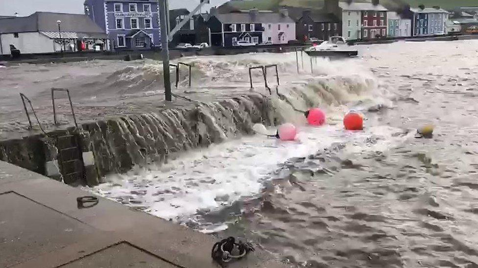
Water levels were high in Aberaeron harbour
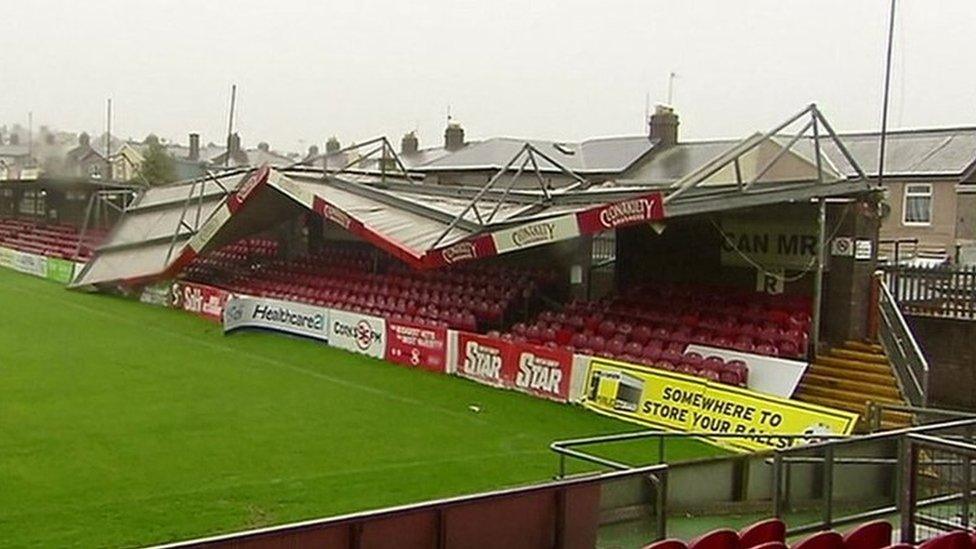
Storm Brian has eased after the UK saw gale-force winds and high seas, although disruption was not as bad as had been feared.
Gusts of 78mph were recorded in Capel Curig and Aberdaron, north Wales, with 84mph recorded on the Isle of Wight.
The Environment Agency said three properties had been flooded in the upper Calder Valley in West Yorkshire.
There are Red and amber flood warnings, external in much of northern England and people are urged to "take immediate action".
There are also flood warnings in place in the South West and Wales, while the south of England and London were under yellow wind warnings.
The storm comes after three people were killed and hundreds of thousands of people - mostly in the Irish Republic - were left without power after the remnants of Storm Ophelia battered the British Isles after weakening from its earlier hurricane force.
Strong winds and high seas first reached the western coast of Ireland overnight on Friday.
Gusts hit 80mph (130km/h) in the country, said Irish weather agency Met Éireann, and there was flash flooding in several Irish cities, including Limerick.
A race meeting at Fairyhouse was cancelled and the Cliffs of Moher tourist attraction in County Clare was closed.
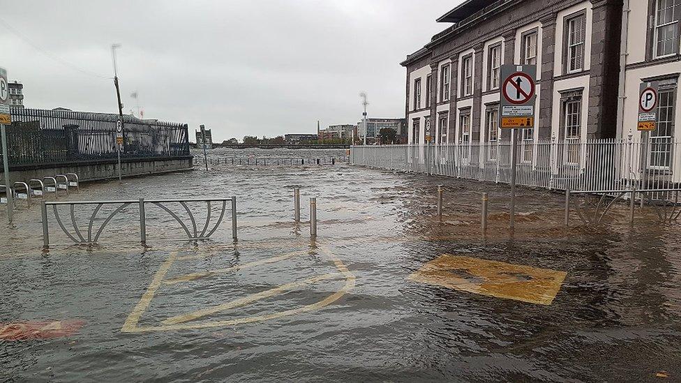
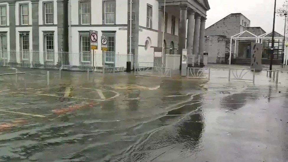
Flooding was caused by the storm in Limerick, Ireland
In Wales, trains and ferries were cancelled and seafront roads closed as a result of the weather.
Natural Resources Wales said the coastline was likely to be "extremely dangerous this weekend".
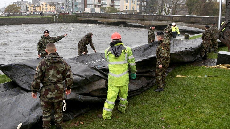
Flood barriers are readied in Galway City
A lifeboat was sent to help a person in difficulty at Skrinkle, while Porthcawl RNLI warned people to watch the storm waves on its live feed, after people were spotted taking photographs from the harbour wall.
Ceredigion council also warned people to "keep away" from seafronts and "be careful" on low-lying land where coastal flooding was possible.
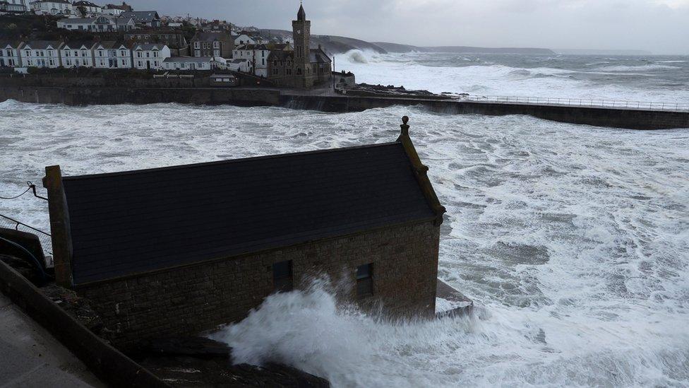
Flood barriers have been put up in Cornwall to protect costal towns
The Environment Agency has issued 30 flood warnings, external - meaning flooding is expected - in the north-west and south-west of England.
Flood barriers have been put in place in areas including Fowey in Cornwall, but Frank Newell, from the Environment Agency, said the surge had been lower than forecast.
"In terms of impact, we've had spray overtopping quaysides, but we don't have at the moment any reported property flooding," he said.
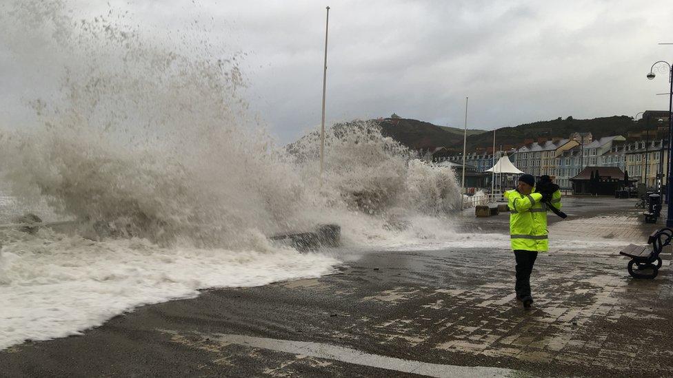
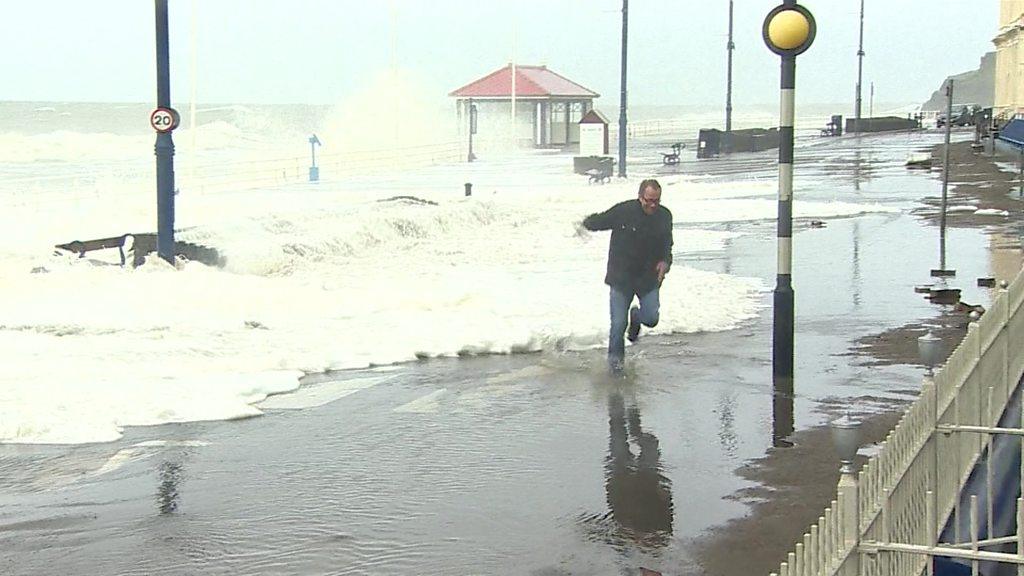
Waves crashing over Aberystwyth promenade
In Wales and southern England, fallen trees and other debris on railway tracks caused cancellations and disruption on some lines.
Waves crash into the seafront in Aberystwyth, Wales, as Storm Brian hits the UK
The Environment Agency's national flood duty manager, Ben Lukey, warned people against posing for photos during the hazardous conditions.
He said: "We urge people to stay safe along the coast and warn against putting yourself in unnecessary danger by taking 'storm selfies' or driving through flood water - just 30cm (11in) is enough to move your car."
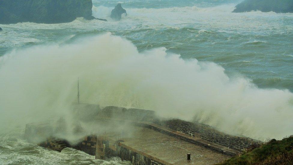
Waves crashed over Mullion Harbour in Cornwall on Saturday


Have you been affected by Storm Brian? If it is safe to do so, share your pictures, video and experiences by emailing haveyoursay@bbc.co.uk, external.
Please include a contact number if you are willing to speak to a BBC journalist. You can also contact us in the following ways:
WhatsApp: +447555 173285
Tweet: @BBC_HaveYourSay, external
Send pictures/video to yourpics@bbc.co.uk, external
Upload your pictures / video here, external
Send an SMS or MMS to 61124 or +44 7624 800 100
- Published21 October 2017
- Published21 October 2017
- Published21 October 2017
- Published17 October 2017
- Published16 October 2017
- Published16 October 2017
