Storm Agnes: How was it named and how did we know it was coming?
- Published

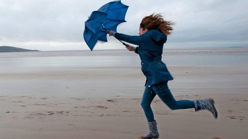
Strong winds caused by Storm Agnes created dramatic scenes in Tramore, County Waterford on Wednesday
It was a week ago that a Met Office team first noticed the signs of a growing storm.
Focusing on the Atlantic Ocean, they saw a strong jet stream was starting to develop - a tell-tale sign of heavy weather.
They assessed its strength and potential impact, and decided it was big enough to give it a name.
Will Lang heads up the Met Office team that leads the response in times of severe weather.
He says giving storms names means they can let people know what to expect, and helps them make informed and safe decisions.
"If we think there is a potential for something to have a large impact across the UK... then we will consider naming the storm and that's exactly what we did with this," he says.
In the case of Storm Agnes, there is likely to be disruption due to strong winds and heavy rain, with the worst affected areas being in the north of the UK.
How do you track a storm?
Originally spotted deep in the north Atlantic using satellite imagery, predicting its path relies on computer modelling and a team of people with observational, scientific minds.
"We get observations from ships and satellites all the way across the world," Mr Lang says.
Jet streams blow from west to east, about five to seven miles above the surface of the earth, he explains. They can cause low pressure systems, where air rises and blows anticlockwise, forming clouds and precipitation.
This often results in the weather being unsettled and causes storms to come off the Atlantic towards us.
Computer models then start to predict what might happen next - last week, his team could see the potential of Storm Agnes.
And now it's approaching the UK, and is due to hit on Wednesday evening.

How are storms named?
There's a lull in storm activity over the summer, so the Met Office starts the new storm season at the beginning of September when jet streams become active.
Mr Lang's team come up with a list of potential storm names - and work through them, starting with the letter A.
This year's list features "those who work to keep people safe in times of severe weather".
So Agnes - Agnes Mary Clerke - was an Irish astronomer and science writer.
And Ciarán Fearon, who was the inspiration for the third name on the list, works in the Department for Infrastructure in Northern Ireland.

On average, around six to seven named storms hit the UK each year, meaning many of the listed names are never used.
The UK, Ireland and the Netherlands work together to name storms but elsewhere in Europe, Portugal, Spain, Luxembourg, France and Belgium collaborate.
And storms named by other international weather services can also enter the UK.
Why are storm warnings colour coded?

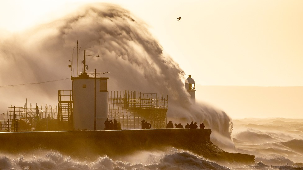
Strong winds and heavy rain are set to travel across the UK
A yellow weather warning is in place, external for Storm Agnes, and the Met Office says it's not impossible that this could shift to amber - the next level of severity.
This colour-coded warning system is in place so people know what to expect, but additional detail is provided to the energy, aviation and rail industries.
For example, the predicted wind speeds have the potential to close bridges or cancel ferry services.
Trees may come down and power supplies may be cut in some areas, and there is also the potential for injury and damage to property.
"The storm is there and progressing in line with our expectations," Mr Lang says.
And then it's on to the next one. His team are already watching and waiting.
Related topics
- Published27 September 2023
- Published27 September 2023