In pictures: Storm hits Cornwall
- Published
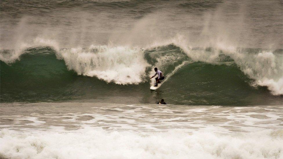
The worst storm in several years is forecast for overnight and into Monday. Surfers made the most of conditions at Newquay in Cornwall.
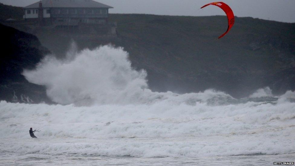
A kite surfer braved the waves crashing into Newquay before the storm.
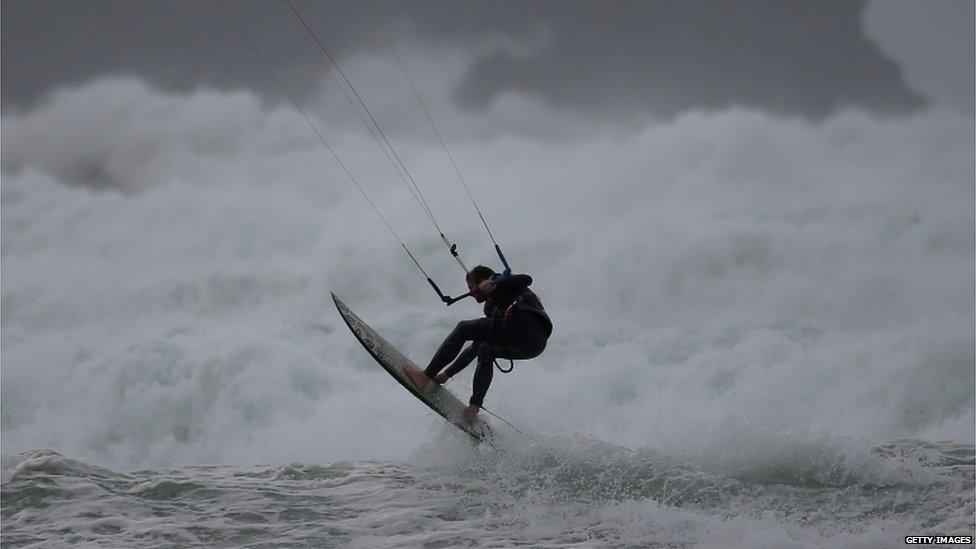
The storm is forecast to bring hurricane-force winds into Cornwall, including Newquay.
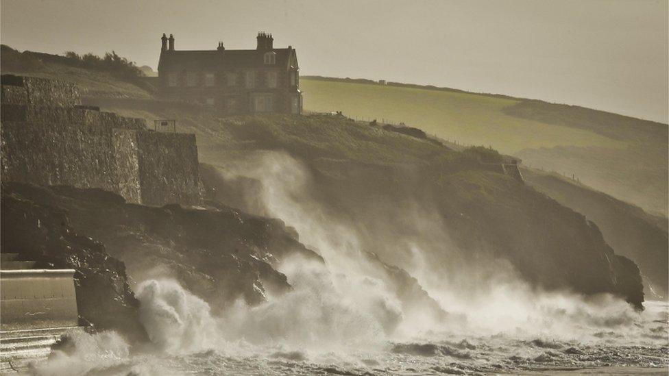
Meteorologists said they expected wind speeds to hit more than 80mph (128km/h) on exposed coasts such as Porthleven in Cornwall.
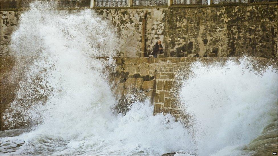
Waves crashed against the harbour wall at Porthleven on Sunday.
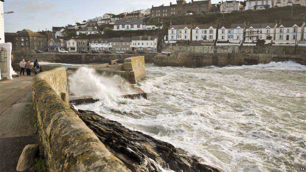
Forecasters have warned that up to 4cm (1.6in) of rain might fall within six to nine hours, leading to localised flooding.