Are we nearly there yet? Finding out where 'there' is
- Published
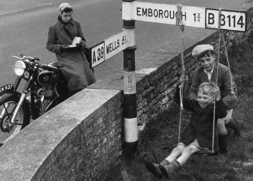
When you see a road sign saying 50 miles to your destination, where exactly is it 50 miles to? You would think it's fairly simple to find out - it is not.
It is the sort of question which part-time pedants who find themselves doing a lot of driving become obsessed by - where exactly are these distances measured from?
And I mean exactly, not just some vague notion of a town centre, I want to know which spot and why?
Thankfully London, at least, has a definitive answer.
Scattered around Trafalgar Square are various national icons and institutions but one of the most important is the smallest and largely overlooked.
Behind a statue of King Charles I on the south side of the square, a small plaque marks the official centre of London, the original Charing Cross and the point to which all distances to the nation's capital are measured.
Having a plaque marking the zero point is helpful. An obelisk near Leeds which sits exactly 200 miles from both London and Edinburgh is also pleasing to a certain sort of mind.
But for England's other towns and cities the picture is far less clear. Take Newcastle upon Tyne for example.
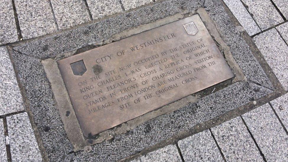
A plaque at Trafalgar Square marks the point all distances to London are measured from
According to most sat navs, the centre of Newcastle, the point from which all other distances are measured, is a cafeteria in a Newcastle University building.
The university could offer no explanation as to why this might be.
And the council was also unsure where the city's exact zero point was, but thought it might by Grey's Monument, a 130ft (40m) tall column at the top of Grey Street.

Newcastle Council believes the centre point of Newcastle is Grey's Monument while Google marks it as being in a Newcastle University building
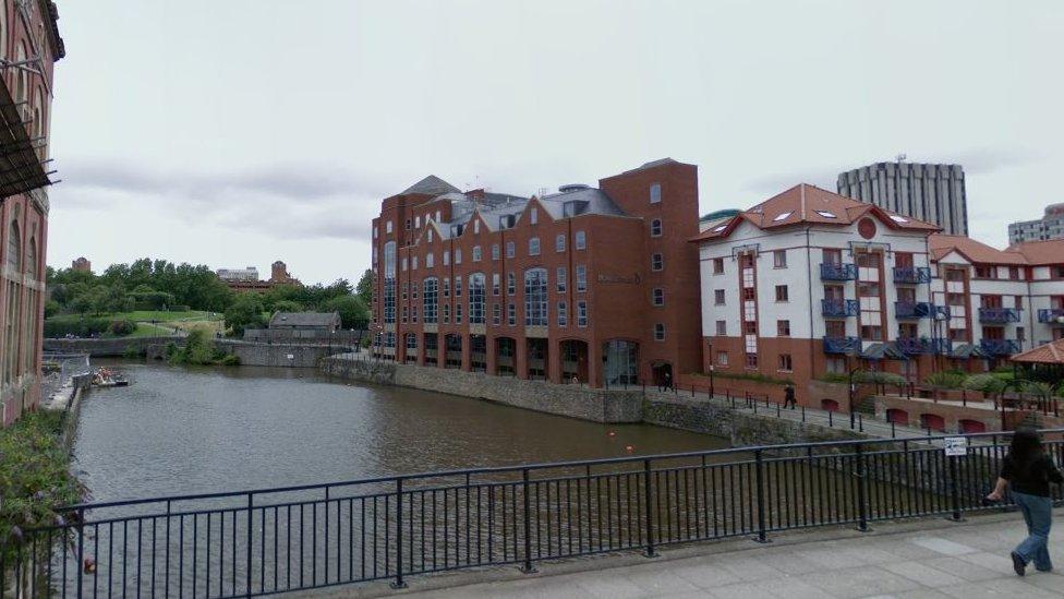
Google Maps marks the centre of Bristol as being in the middle of a waterway
Similarly, the centre of Bristol is in a stretch of water near Castle Park and the heart of Birmingham is, of course, the Serbian Orthodox Church which is labelled as being near Aston University campus.
Google, which provides the maps for many sat nav devices, said it used information provided by councils and agencies to determine where to drop its place marker.
But, if there is no defined "zero point", Google tries to put their marker "into the middle of the place in question as much as possible geometrically".
"It can be as vague as having the feeling on the ground that you have entered the central location," said a spokesman for TomTom, the sat nav manufacturer.
So, as there is nothing obviously historically significant about Best Bite cafe in Newcastle University's King George VI building, it would seem safe to assume it is an arbitrary centre point chosen by a computer algorithm.
In other words, it is basically made up.

The original Charing Cross
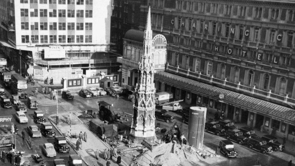
The cross outside Charing Cross station is replica of the original one
The plaque that marks London's centre spot is at the site of the original Charing Cross.
The cross was erected by King Edward I in 1290 to mark the 12th and final resting spot of the funeral procession for his wife, Queen Eleanor.
She had died near Lincoln and a cross was placed at every spot her body stopped on its way to Westminster Abbey for burial.
Only three of the original crosses remain - at Geddington, Hardingstone and Waltham.
The cross outside Charing Cross Station is a replica made in 1863, a few hundred yards away from where the genuine article stood.

Perhaps surprisingly, Highways England, the organisation responsible for road signs, said it had no list of centre points to measure distances from. Instead it bases its mileages on its "best judgement" of what seems "appropriate" for drivers.
The sat nav manufacturer TomTom said "a logical point based on various features" is picked if the source material doesn't specify a centre spot.
"These features could be the post office, village, town or city hall, council offices, public squares, pedestrian areas or crossing of the main roads," a spokesman said.
"Some will be based on features that are no longer present in reality and are based on historical features or meanings."
Historically then, point zero was the site of a town's market cross.
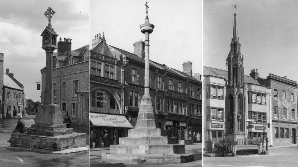
Market crosses are often used to mark the centre point of a place
Matt Thomson, head of planning at the Campaign to Protect Rural England, said the location of a market often predated the existence of a town.
"Many markets were established in medieval times in places convenient to a dispersed rural population and the town grew up around the market," he said.
Other landmarks have also been used, such as churches, post offices or town halls, but, even where there is a route with a distinct centre point at each end, the distance on the mileage signs may still not be exact.
Later on, between the 17th and 19th Centuries, the distances of turnpikes - tolled roads - were easily measured from payment booths at each end.
However, several started from different spots around London, meaning signs to the city were actually being measured to different points.
To ease confusion, in the early 1800s, one spot was chosen - the site of the original Charing Cross.
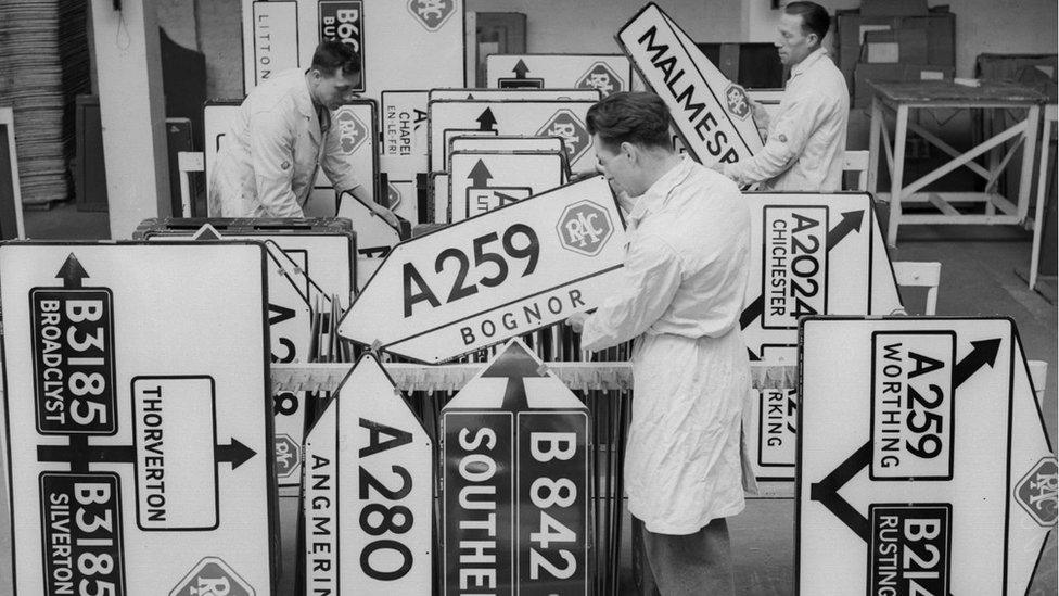
Highways England said signs are measured based on "best judgement" of what is appropriate for drivers
But why?
"My suspicion is some bureaucrat decided quite arbitrarily to say it was this spot and it has just become enshrined," said David Long, historian and author of numerous books about London.
"Something difficult for us to appreciate is the often ad-hoc nature of these things."
The question, then, is, apart from to pedants and local history buffs, does it really matter?
"I suppose it is only really useful from a road sign point of view," said Mr Long, adding: "For those people living somewhere, where exactly the centre is does not really matter.
"It is annoying for anyone who likes things to be just so but, in reality, that's just the way it is."
- Published16 September 2014
- Published14 June 2013
