Dunstable Priory church was once much larger, says survey
- Published

The priory - a religious house for men and women - was dissolved in 1540 as part of Henry VIII's religious reforms
The true size and importance of a medieval church has been revealed following an archaeological survey by Historic England.
Dunstable Priory in Bedfordshire was founded by Henry I in 1132 for the Augustinian Canons, external.
It was the location of the court which annulled Henry VIII's marriage to Catherine of Aragon, external.
The church survived his dissolution of the monasteries, external, but was once "grander and more elaborate", the survey shows.

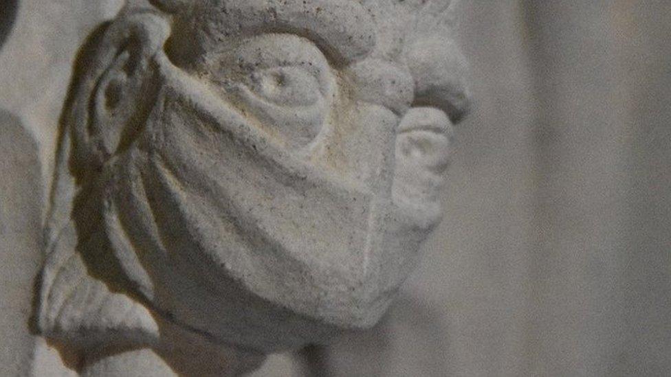
New information about the east end of the original church was discovered during the non-invasive survey
Historic England's geophysics team used ground-penetrating radar to reveal new information about the layout of the east end of the original priory church of St Peter, external.
The non-invasive method showed a buried, curving ditch, which experts believed was probably evidence of a stone arcade or walkway - a common feature in cathedrals and large churches.
The buried outline of the Lady Chapel - revealed in an earlier survey - was also confirmed, suggesting its floor may still survive along with graves and memorial stones.

After the pope refused Henry VIII his divorce, he convened his own court at Dunstable which gave him the result he wanted
Historic England said this "places Dunstable Priory amongst the grandest Augustinian houses of its day".
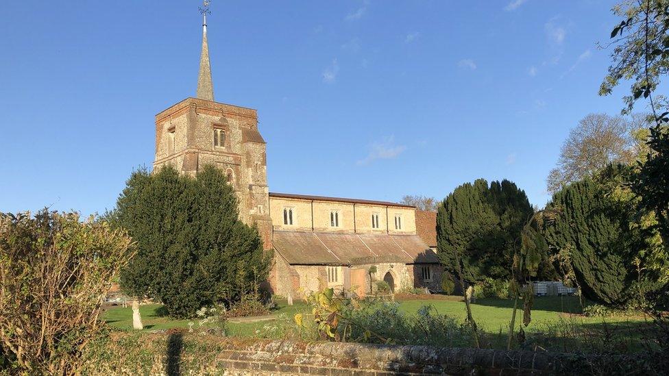
Today, only the nave of the Grade I-listed church, external survives.
The results of the survey will help to inform the development of the Dunstable High Street Heritage Action Zone, external, a joint project by Dunstable Town Council and Historic England.

This map uses the geophysics data to show walls and ditches of buildings which were pulled down following the Reformation
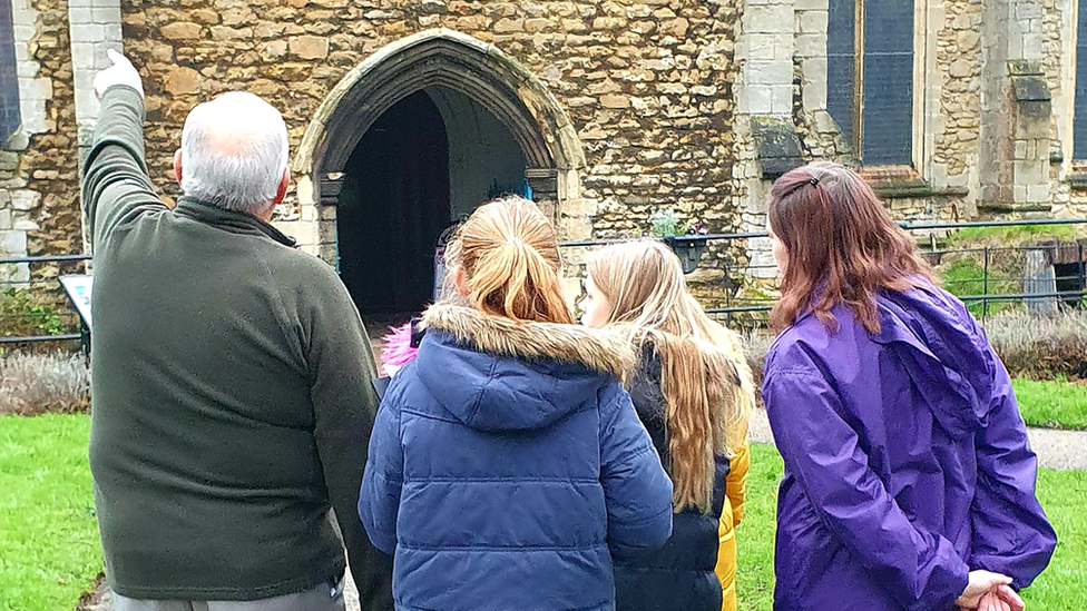
Peter Hollick, chair of the council's community services, said the priory "was of significant importance during the medieval period".
"It's wonderful that Historic England was able to undertake this new survey work, to help the town and others learn more about this part of the town's history," he added.

Find BBC News: East of England on Facebook, external, Instagram, external and Twitter, external. If you have a story suggestion email
Related topics
- Published3 April 2022
- Published17 December 2021
- Published7 May 2021