Bristol road to remain shut after river wall collapse
- Published

The strength of the road is being tested ahead of specialist equipment being brought in to carry out "erosion protection work"
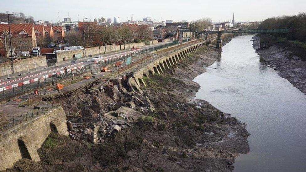
A road where part of a river wall collapsed last month is to remain closed for the foreseeable future.
Cumberland Road on Spike Island was shut in late January after the wall and supporting ground collapsed.
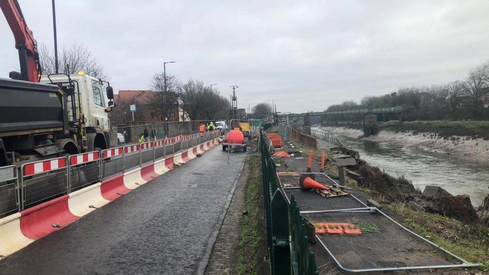
Bristol City Council said the strength of the road was being tested ahead of specialist equipment being brought in to carry out "erosion protection work".
It added that it was "unlikely" a decision to partially reopen the road will be taken before the end of March.
The closure of Cumberland Road, which runs alongside the Rover Avon, has caused tailbacks in the city as traffic is re-routed around the area.

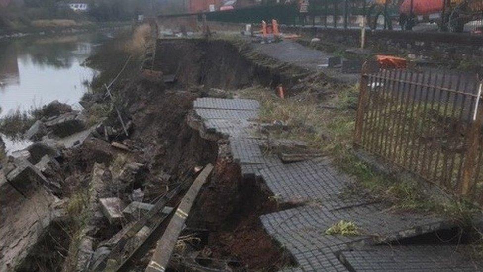
The river wall collapsed in late January
The city council had aimed to open the road "at least partially" a few weeks after the collapse.
But cabinet member for transport Kye Dudd, said the site was being monitored daily to "detect any further movement" and the priority was making it safe.
"Once the road is judged to have been stabilised sufficiently, a decision over whether to partially open it for public transport, including metrobus, and cyclists will be considered."
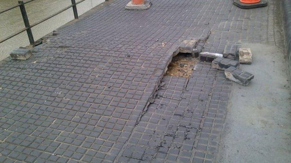
Chocolate Path, which runs alongside Cumberland Road, has been shut since December 2017 due to serious subsidence.
- Published24 January 2020

- Published3 October 2019

- Published29 December 2010