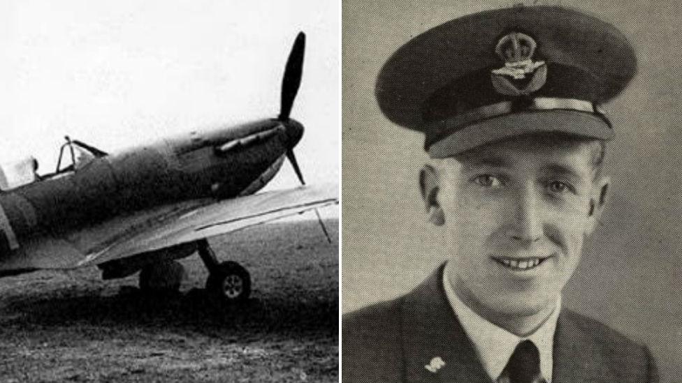
Holme Fen Spitfire: How WW2 crews recovered crashed planes
- Published
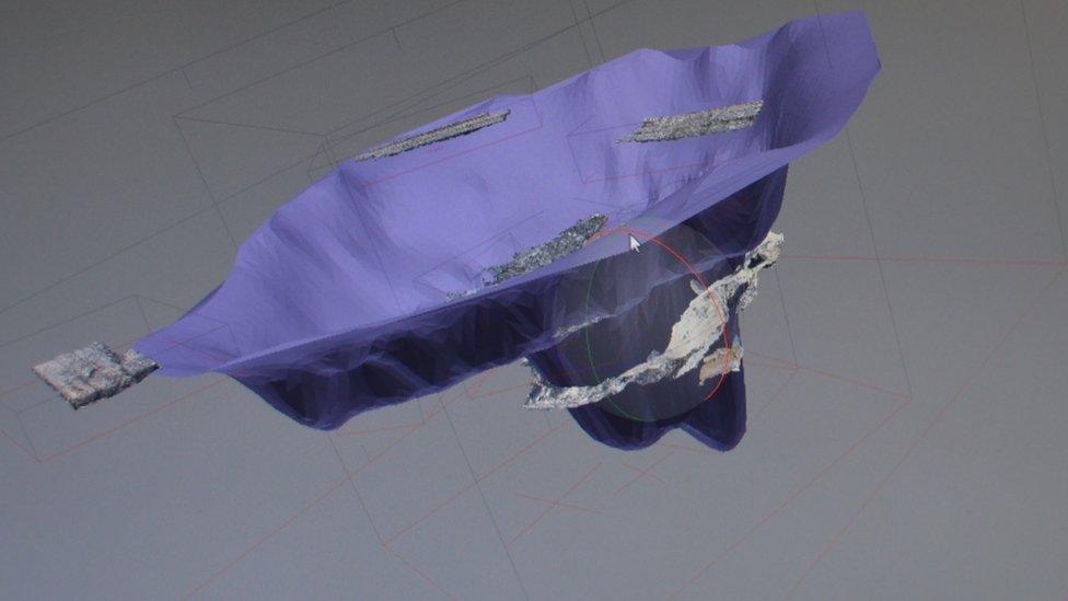
The Spitfire nose-dived about 20ft (6m) into the peaty soil at Holme Fen in 1940. It took the recovery crew seven days to reach the pilot's body
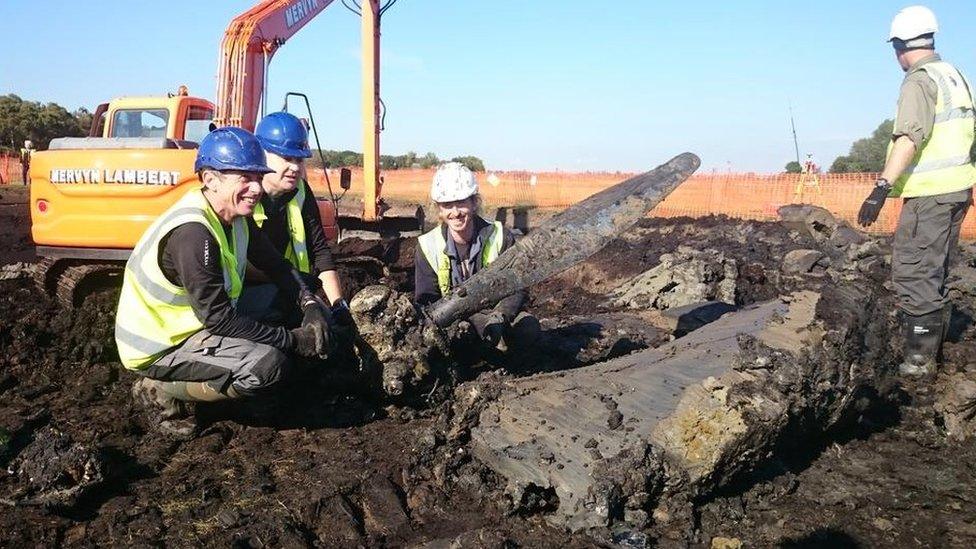
Evidence of how far a recovery crew dug down to reach a Spitfire which crashed 75 years ago has been revealed by archaeologists using 3D modelling.
Experts created the models after excavating a World War Two crash site at Holme Fen in Cambridgeshire.
The images were made by stitching together thousands of digital photographs taken during the dig.
Archaeologist Stephen Macaulay said he believes the technique has never been used on a UK aviation crash site.
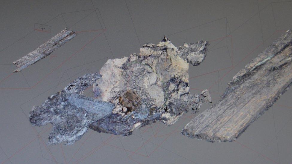
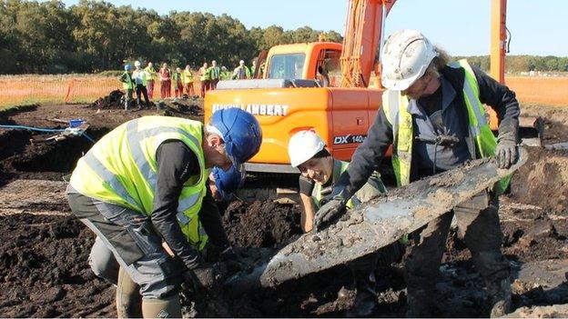
Thousands of photos were taken from as many angles as possible during the dig, including of the planks used by the recovery crew to shore up the crater as they dug down
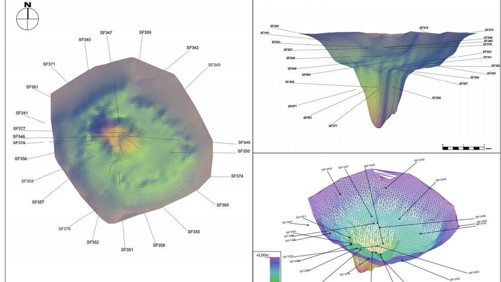
The computer software stitched them together to create a 3D model of the crater and the objects uncovered
The photographs are taken from as many angles as possible to build up the three dimensional images in a computer technique called "photogrammetry".
The dig was led by Oxford Archaeology East in October.
Geomatics supervisor Dave Brown said: "Normally the recovery team's story isn't documented with aircraft recovery projects, so it's interesting to see the huge effort they went to to dig down to the aircraft remains."
The recovery crew, who probably came from RAF Wittering, dug down for seven days to recover the pilot's body and the archaeologists discovered they left behind a number of objects.
Senior project manager Mr Macaulay said: "We found a glove, a shoulder flash from a uniform - and wooden planks needed to shore up the sides of the crater."
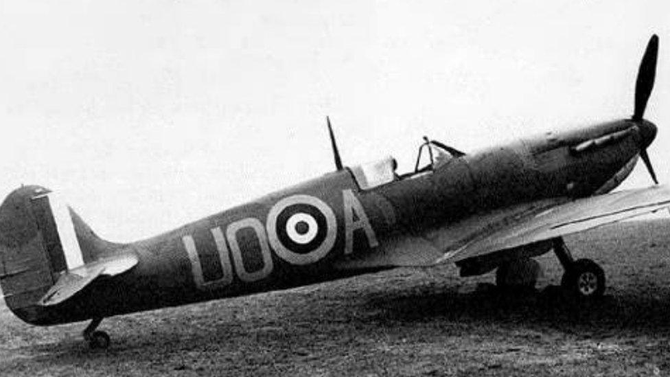
The Spitfire crashed while on a training exercise
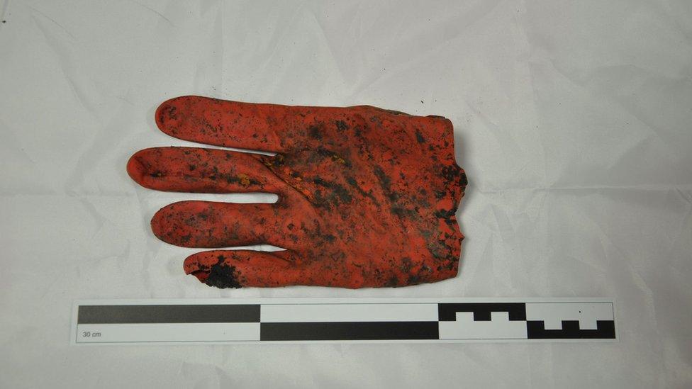
Objects belonging to the pilot, including his hat, were found - and so was this glove left by the crew recovering his body
The Rhodesian Squadron Royal Air Force, external plane, based at RAF Wittering, crashed at Holme on 22 November 1940.
Pilot Officer Harold Penketh, from Brighton, did not bail out and died.
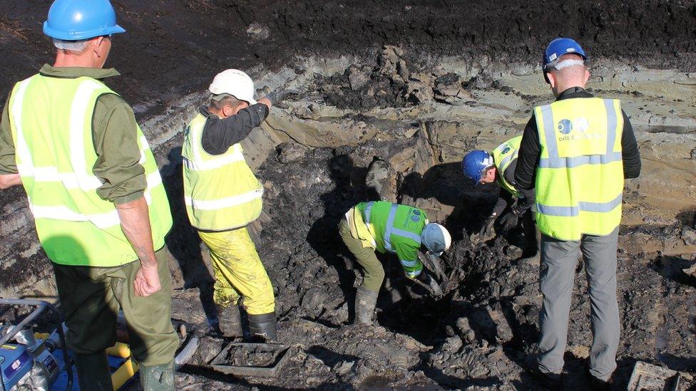
The dig lasted six days and had to be briefly halted after a fragment of human remains was discovered
"It was quite a pressured excavation because it was a huge, deep hole," said Mr Brown.
"So photogrammetry was ideal for recording the remains - traditional archaeological techniques would have been too time-consuming."
Mr Macaulay said: "When we look at the 3D images, we are viewing it as it was viewed by the recovery team 75 years ago.
"They were the last people to have seen it before it was deliberately back filled."
- Published27 December 2015

- Published17 October 2015
- Published9 October 2015
- Published5 October 2015
